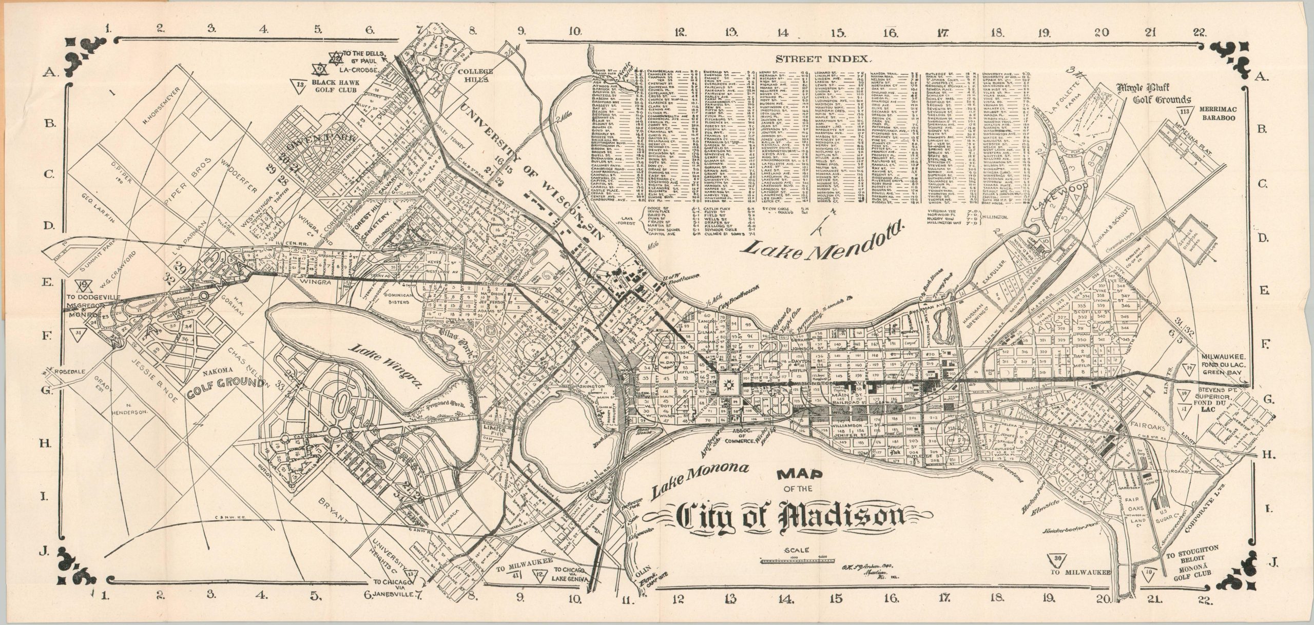
Map of the City of Madison
$200.00
The Athens of the Midwest at the start of the Roaring 20s.
1 in stock
Description
This charming (though a bit clumsy) pocket map of Madison, Wisconsin was offers a practical overview of the college town between Lakes Mendota and Monona. A variety of features are labeled throughout the image, including transportation routes (notably, an extensive streetcar network), important buildings, parks, neighborhoods/subdivisions, major industries, and the campus of the University of Wisconsin. A street index is provided in the upper center, while state trunk highway numbers are provided (in triangular ‘signs’) to nearby destinations. Interestingly, an apparent misprint in the upper left has resulted in two Stars of David!
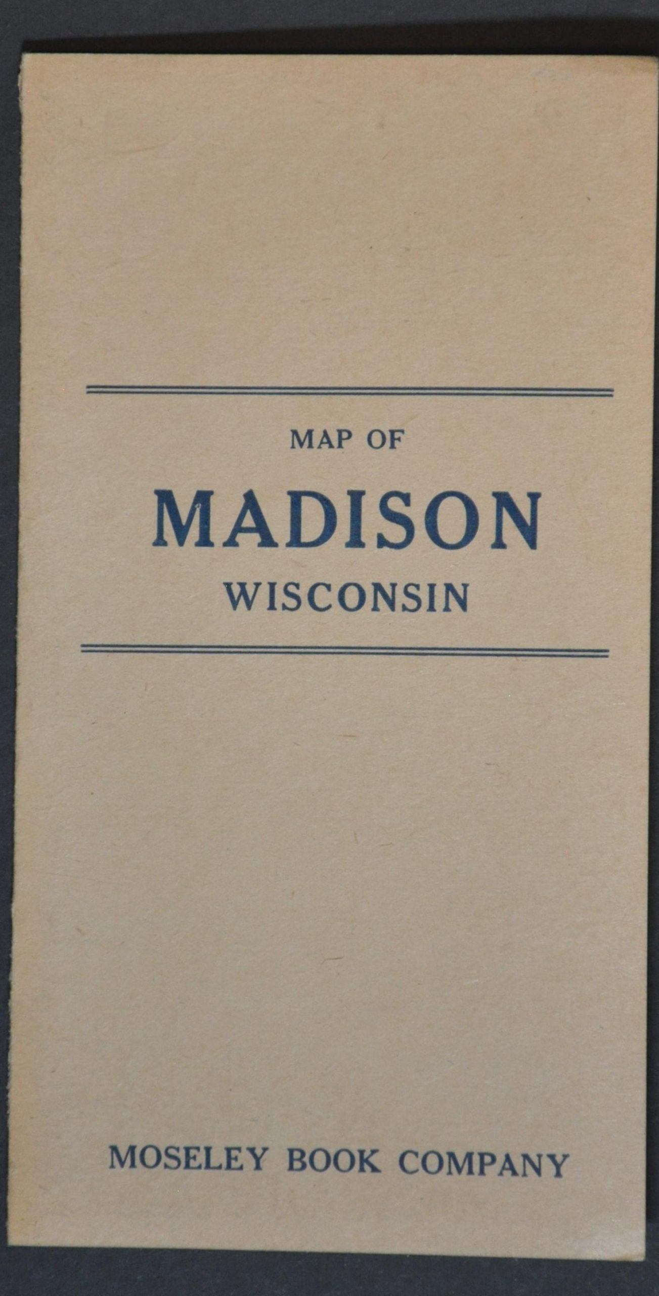
The image was drawn by Octavius Henry St. George Anson, helpfully abbreviated in the lower center, in 1920. Published locally by the Moseley Book Company, as advertised on the front and back covers. The map is scarce and listed only twice in WorldCat as of August 2025, at the Wisconsin Historical Society and the Boston Public Library.
Sources: OCLC# 748578532; Wisconsin Historical Society
Map Details
Publication Date: 1920
Author: Octavius Henry St. George Anson
Sheet Width (in): 24.75
Sheet Height (in): 12
Condition: A
Condition Description: Black and white map on a single-sided sheet, folded into 16 segments and affixed to original brown paper wraps. A bit of light wear and wrinkling along the outer edges, but overall in near fine condition.
$200.00
1 in stock