Map of the City of Chicago
$250.00
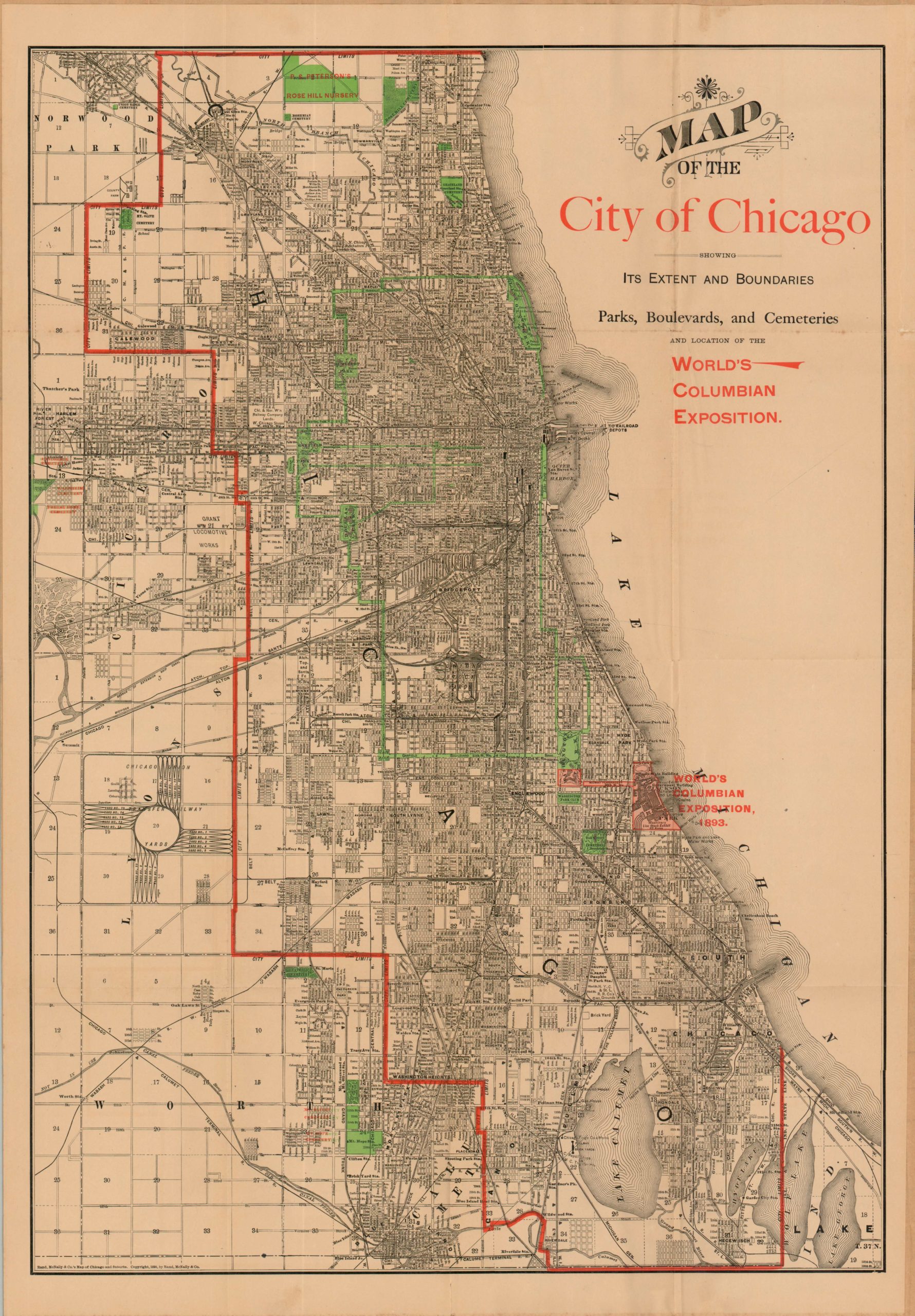
Detailed city map of Chicago published shortly before the Columbian Exposition.
Description
This is a fantastic map of Chicago that was published locally by Rand McNally in 1890. The city limits are shown with a bold red line while street names, railways, parks, important industries and geographic features are labeled in black. Jackson Park, the site of the upcoming World’s Fair, is shown in red along with the adjacent Midway Plaisance and a portion of Washington Park.
Elsewhere, Chicago’s intricate park and boulevard system, known as “The Emerald Collar,” is seen in bright green. The map reflects the tremendous growth and expansion experienced by the city since the devastation wrought by an enormous fire in 1871.
Map Details
Publication Date: 1890
Author: Rand McNally
Sheet Width (in): 20.00
Sheet Height (in): 29.25
Condition: B+
Condition Description: Wear along fold lines with a few small holes at fold intersections. Ragged upper right edge and faint toning to the sheet. Very good condition overall.
$250.00