Map of the Central Pacific Railroad [with] Railroad Communication with the Pacific, with an Account of the Central Pacific Railroad of California
$2,500.00
A scarce map of the Transcontinental Railroad two years before the driving of the Golden Spike.
1 in stock
Description
This incredible map shows the distinct organization of the two separate railroads that would come together two years after publication to unite the nation in a way that had never before been seen. The completion of the Transcontinental Railroad in 1869 would forever change the landscape of the United States and cemented the ideology of Manifest Destiny across much of the populace.
The route of the Central Pacific is shown in red stretching from San Francisco Bay nearly to Fort Bridger in the Dakota Territory. Picking up immediately east is the network of the Union Pacific Railroad and its connecting lines, highlighted in blue. Though the UP had reached modern-day Wyoming by the summer of 1867 (though not nearly to Ft. Bridger); the Central Pacific workers, many of whom were underpaid Chinese immigrants, were still toiling in the Sierra Nevada mountains and heavily reliant on Alred Nobel’s new invention, dynamite. Other spurs, such as the Humboldt & Idaho Railroad and the California & Oregon Railroad, were also far from completion, but that didn’t prevent the publisher from including their routes in order to promote interest among a wider audience.
In addition to boldly highlighting the network of real and proposed railroad lines, the image also contains a wealth of contemporary details about postbellum America. The disparity in settlement and infrastructure between East and West is obvious, with the latter retaining large territories and few railroad lines. Geographic features, frontier fortifications, and early exploration routes are also noted. Even a few shipping lines can be seen in the Atlantic, along with a small image of a hybrid steamship.
The map was drawn, engraved, and printed in New York by the firm of G.W. & G.B. Colton & Company. It is one of two different formats that were printed that year, the other being slightly larger and restricted to lines west of the Mississippi River. Both are scarce and known in only a handful of examples – a likely OCLC entry notes 7 copies, plus one additional identified at the Autry Museum.
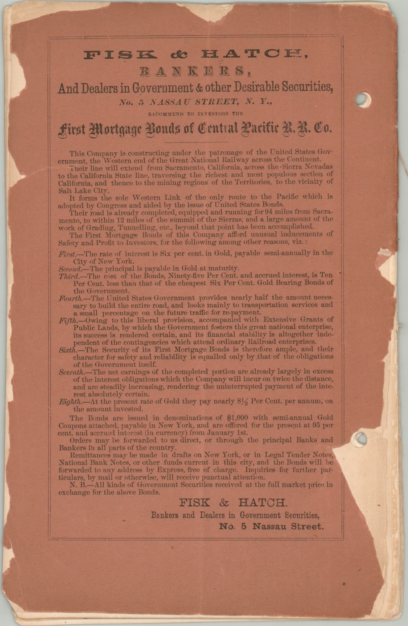
This version was issued with an accompanying pamphlet printed in New York by Hosford & Sons. Its 20 double-sided pages, apparently written by the banking firm Fisk & Hatch, was designed to draw economic investment through the sale of company bonds, backed by the U.S. government. Various section headers highlight the different avenues of persuasion; It’s Effect Upon Agricultural Expansion, Important Bearing on the Trade with Eastern Asia, and the Railroad as a Military and Civilizing Agency to name just a few.
Source: The Autry Museum; OCLC: 25893409
Map Details
Publication Date: 1867
Author: G.W. & C.B. Colton & Company
Sheet Width (in): 31
Sheet Height (in): 8.75
Condition: A-
Condition Description: Folding map with light creasing, a dirty fingerprint in the lower left margin and a yellow ink dot in the Pacific Ocean, but otherwise in near fine condition. Affixed to the title page (missing front cover) of a 20 pp. pamphlet. Contents are loose but complete with the exception of the front cover. Quarter sized damp stain in the upper right corner and the back paper wrap is a bit tattered. Good condition overall for a scarce publication.
$2,500.00
1 in stock


