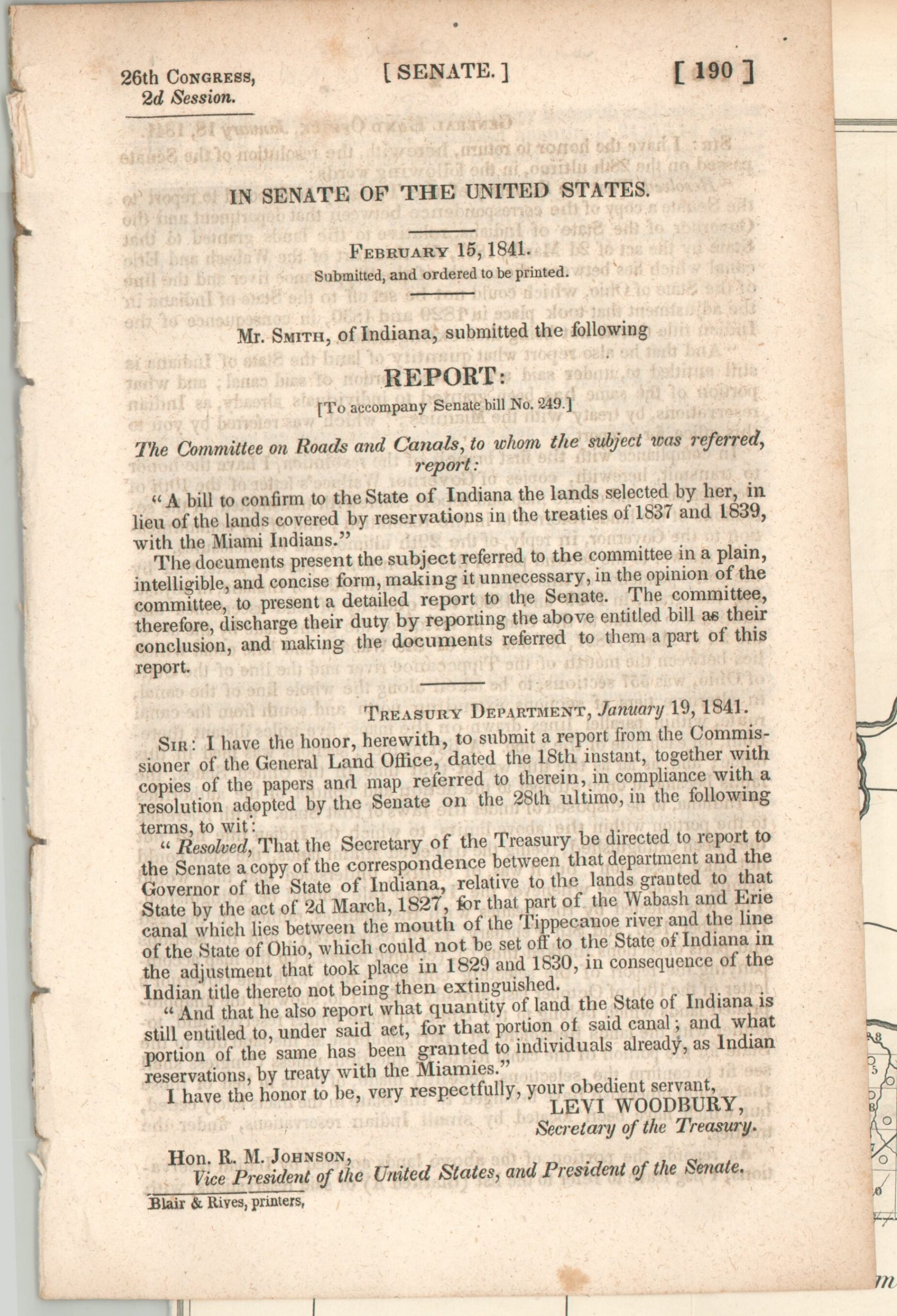
Map of that Part of the Wabash and Erie Canal Lands included in the Treaties of 1834 and 1838
$125.00
Government report and accompanying map on the acquisition of Native American lands in Indiana.
1 in stock

Description
The Wabash and Erie Canal was a monumental infrastructure project designed to link the Great Lakes to the Gulf of Mexico via the Ohio River. Constructed iteratively between 1832 and 1853, it ultimately reached over 450 miles in length. High maintenance costs ended the canal’s useful life span after only a few decades, but it was an important avenue for early passenger and freight travel through the Midwest.
This map was issued in a United States Senate report in 1841, after construction on this particular segment was completed. It shows the confluence of the Eel and Wabash Rivers, at Logansport, Indiana; the port there being how the town got its name (though it is not shown). The canal route, as well as the northern and southern boundaries of the federal land grant, are identified and labeled.
Numbered sections refer to the accompanying financial report, which details the acquisition of canal lands from Native American reservations (and other sources) along its route. Tables list descriptions of each section, its former owner, the acreage, and more. Unsurprisingly, grantees with European names generally had higher estimated values per acre than names of local Miami or Potawatomi.
Map Details
Publication Date: 1841
Author: W.J. Stone
Sheet Width (in): 21.50
Sheet Height (in): 10.60
Condition: B+
Condition Description: A dark smudge, perhaps offsetting, visible along the upper half of the sheet and near the bottom center. Creasing along fold lines. Attached to the original 22 page Senate Report, which shows scattered foxing. First page coming loose.
$125.00
1 in stock