
Map of Tampa’s Street Car System
$175.00
Celebrating over 50 years of rapid transit in Tampa.
1 in stock

Description
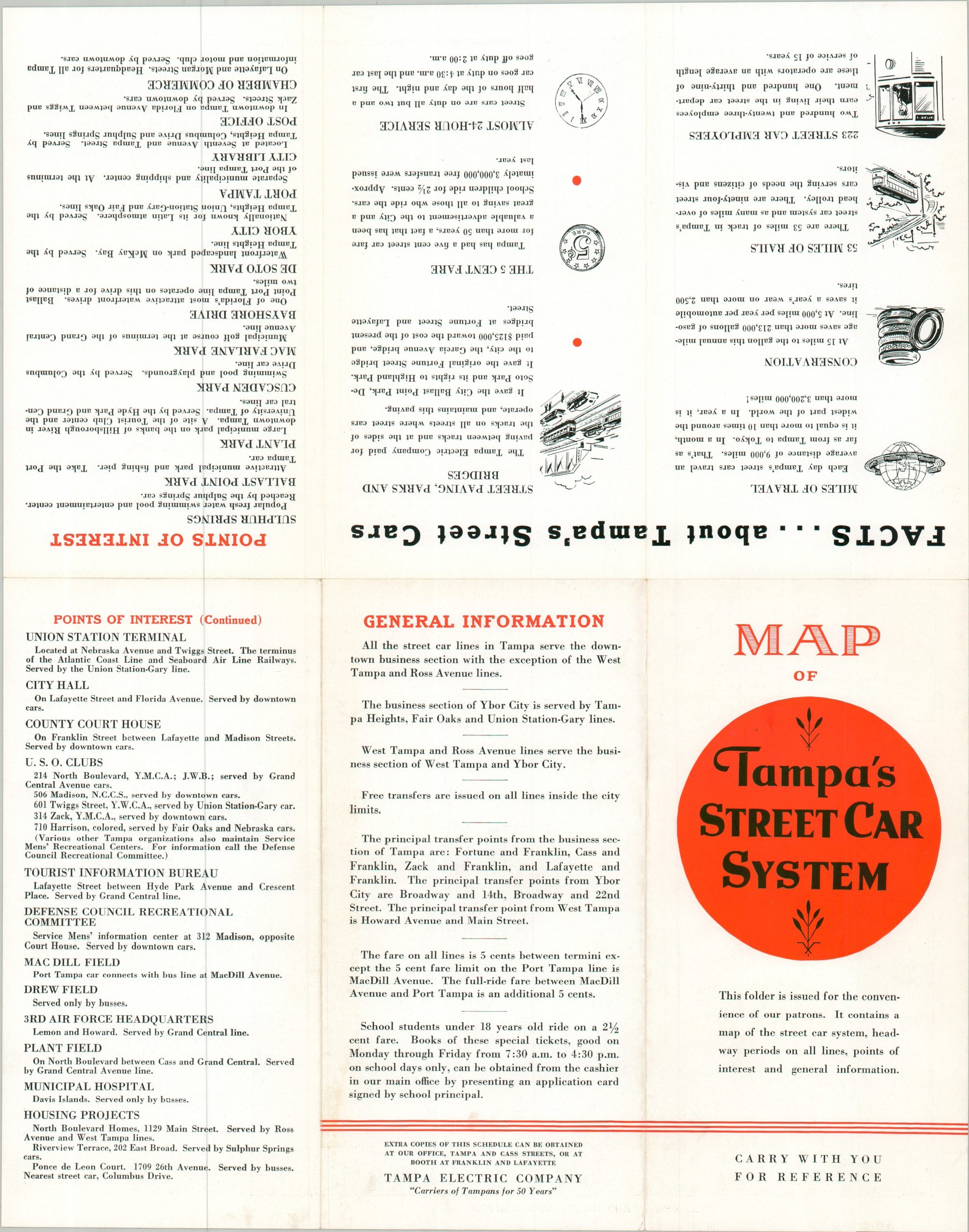
“This folder is issued for the convenience of our patrons. It contains a map of the street car system, headway periods on all lines, points of interest, and general information.” – Front cover.
This handy map of Tampa’s network of street cars was published by the Tampa Electric Company around 1940. The brochure unfolds to reveal a relatively straightforward street plan with bright red lines emphasizing the various operational routes – over 50 miles in total. Much of the city was made accessible – the swimming pool at Sulphur Springs, Port Tampa and Ballast Point Pier, DeSoto Park, and MacFarlane Park are among the various destinations that could be easily reached for a flat rate of five cents. An accompanying timetable shows frequent service, while text on the verso offers additional information for the Tampa Traveler.
Map Details
Publication Date: c. 1940
Author: Tampa Electric Company
Sheet Width (in): 11.90
Sheet Height (in): 15.00
Condition: A
Condition Description: Double-sided map brochure with light wear and creasing along folds. Very good condition overall.
$175.00
1 in stock