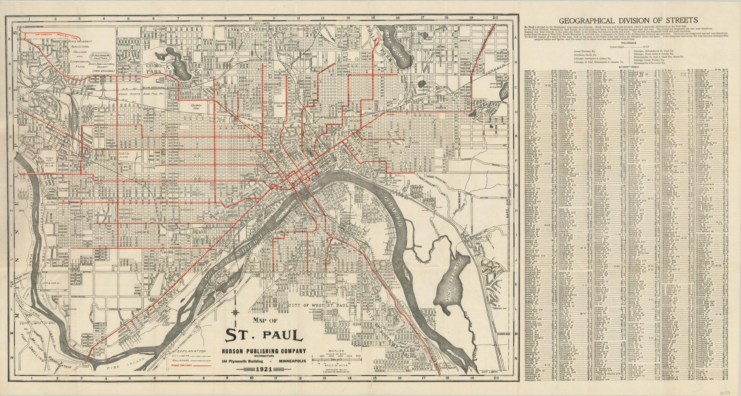
Map of St. Paul
$55.00
1920’s pocket map and street index of St. Paul, Minnesota.
1 in stock
Description
This detailed city plan highlights the urban transportation system of the Minnesota capital as of 1921. Street car lines are shown in bright red, the only color; while railroads and city limits are indicated with black lines. Street names are crammed within the image, and a comprehensive street index accompanies the map on the right side of the page. A list of railroads serving “The Capital City” can be found directly above, along with the location of Union Depot.
The map predates Holman Field (1927) and includes portions of the University of Minnesota (experimental farms!) and the state fairgrounds. Image copyright 1921 by the H.M. Smyth Printing Company and published in Minneapolis by the Hudson Publishing Company.
Map Details
Publication Date: 1921
Author: The Hudson Publishing Company
Sheet Width (in): 33.75
Sheet Height (in): 18
Condition: A-
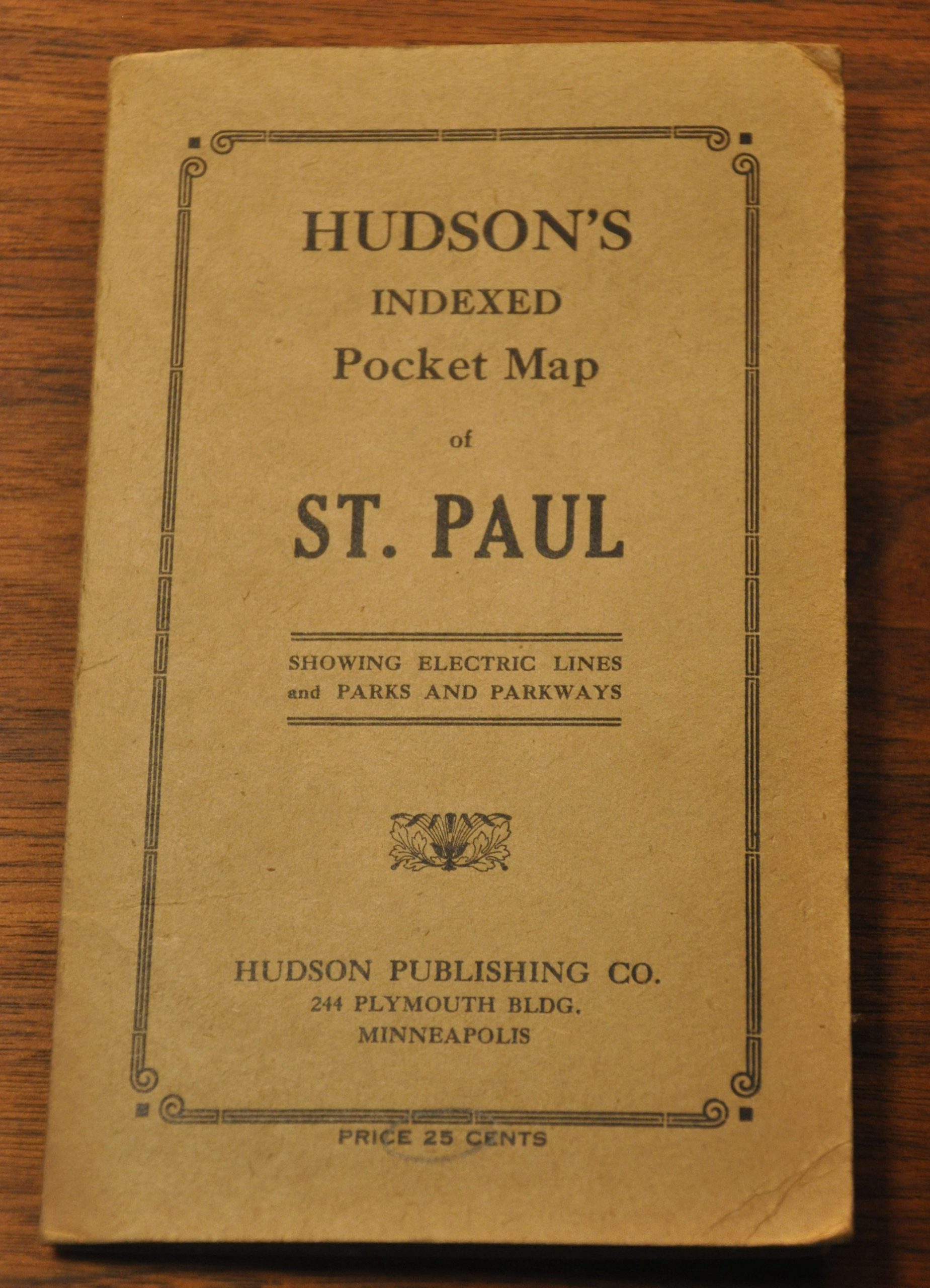
Condition Description: Issued folded in 30 panels and affixed to the original brown paper covers. Faint wear and creasing along fold lines, and one 3" vertical tear along a fold on the right side of the scale (repaired on verso). Very good condition overall.
$55.00
1 in stock