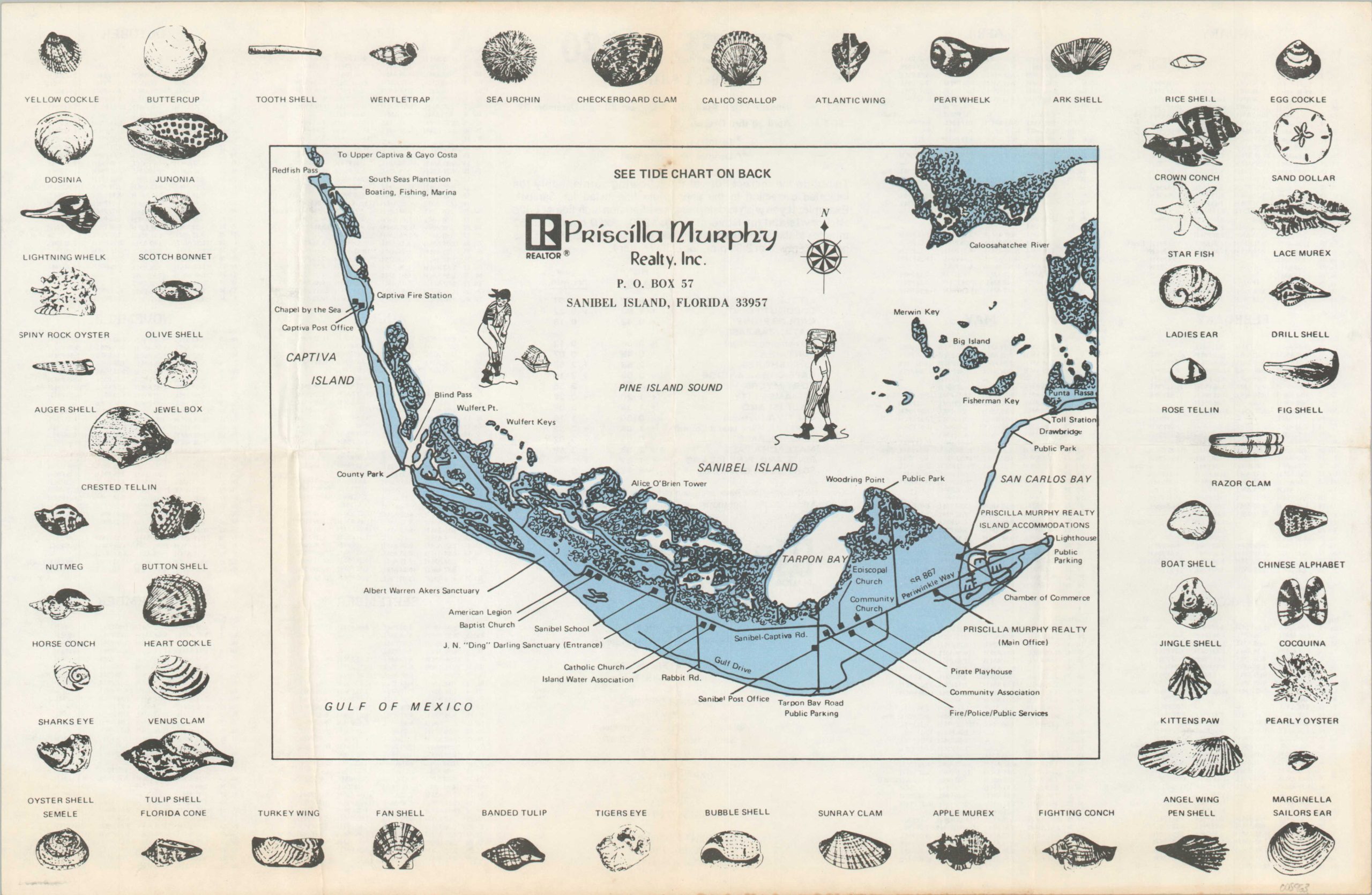
[Map of Sanibel Island, Florida]
$75.00
Ephemeral map and tide chart for Sanibel Island, Florida.
1 in stock
Description
This charming map of Sanibel Island, Florida was published locally in 1980 and distributed by Priscilla Murphy Realty, Inc. A simple overview notes primary transportation routes, forested areas, and primary locations of interest across the approximately 17 square mile barrier island.
Shell hunting is a popular pastime for tourists and residents alike. Numerous species are illustrated in the borders, while an annual tidal chart is provided on the verso.
Map Details
Publication Date: 1980
Author: Priscilla Murphy Realty, Inc.
Sheet Width (in): 16.8
Sheet Height (in): 10.9
Condition: B+
Condition Description: Moderate wear and toning along old fold lines and the outer edges of the sheet, most evident in the lower right. Scattered soiling on the verso. About good condition overall.
$75.00
1 in stock

