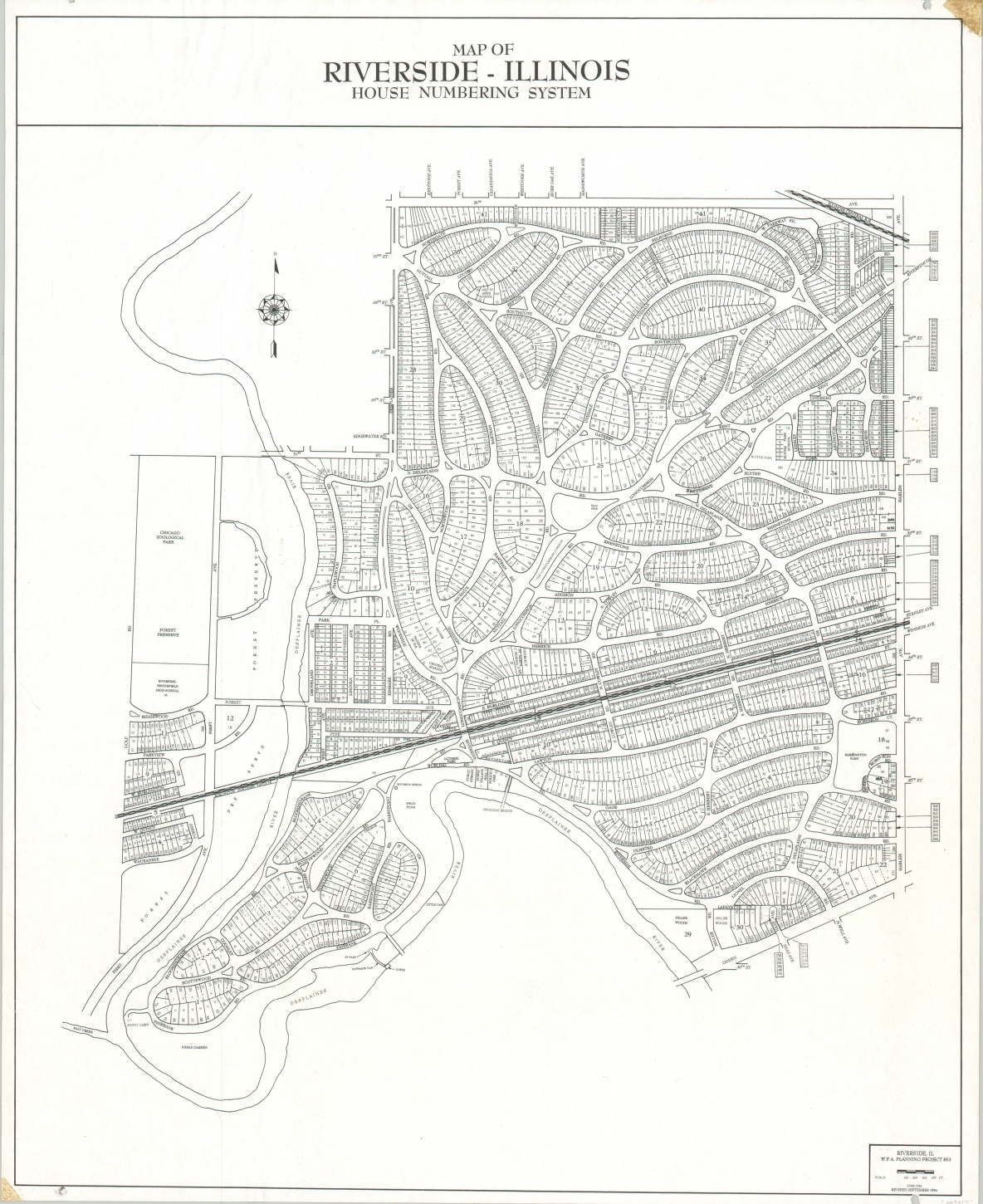
Map of Riverside – Illinois House Numbering System
Frederick Law Olmstead’s Riverside – one of the first planned communities in the entire country.
Out of stock
Description
This detailed map of the Chicago suburb of Riverside is a revised edition (1996) of the original 1936 base map issued by the Works Progress Administration. It shows the numbering system used for the various lots across the historic neighborhood, originally designed in 1869 by Calvert Vaux and Frederick Law Olmsted.
Though the emphasis of the image is relatively mundane, the gently rolling streets, large vertical lots, and access to the Des Plaines River give the audience an impression of this idyllic commuter community, established as a National Historic Landmark in 1970.
Map Details
Publication Date: 1996
Author: Riverside Planning Department
Sheet Width (in): 17.9
Sheet Height (in): 21.9
Condition: B+
Condition Description: Old and yellowed cellophane tape repairs in two corners and a small tear in the lower left. Slight extraneous wrinkling in the upper left, but remains in very good condition overall.
Out of stock

