
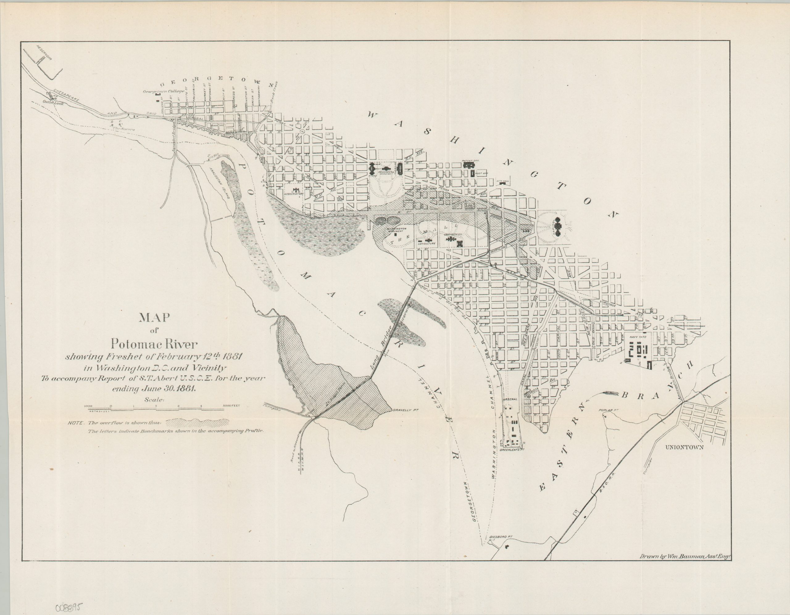
Map of Potomac River Showing Freshet of February 12, 1881
$90.00
Mapping the effects of the Great Flood of 1881.
1 in stock

Description
This unusual map of southwestern Washington, D.C. highlights the tremendous flooding caused by a ‘freshet’ of the Potomac River on July 12, 1881. Much of the National Mall and Pennsylvania Avenue was inundated. Various locations of interest are labeled, including the President’s Mansion, Washington Monument (almost underwater), Capitol, and Smithsonian. The street plan is accompanied by an interesting profile chart of the Potomac that shows the high water line for freshets in 1877 and 1881.
Both sheets were drawn by Assistant Engineer William Baumann to accompany an 1881 report by S.T. Abert of the U.S. Corps of Engineers. Published by the Government Printing Office.
Map Details
Publication Date: 1881
Author: William Baumann
Sheet Width (in): 16.25
Sheet Height (in): 12.75
Condition: A-
Condition Description: Two single-sided sheets, creased along original folds and faintly worn, consistent with age. Very good condition overall.
$90.00
1 in stock