Map of Parts of California, Nevada, Arizona and Utah Traversed in 1891 by The Death Valley Expedition
$250.00
A late 19th-century scientific survey of Death Valley.
1 in stock


Description
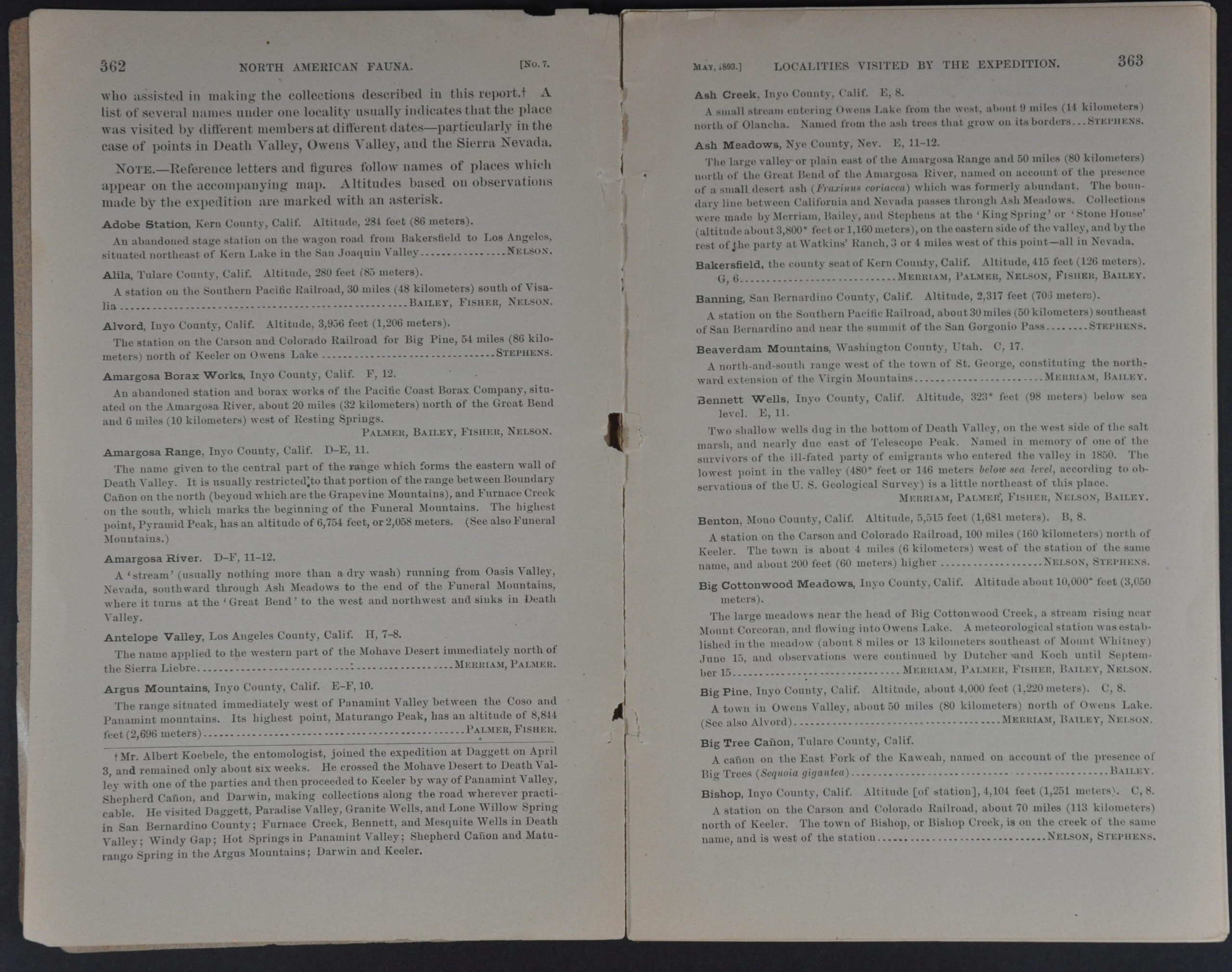
In 1890, Congress passed a law authorizing the funding of scientific expeditions to determine the suitability of various areas for farming and ranching. One of the first such missions resulting from the legislation was the Death Valley Expedition, led by experienced naturalist Clinton Hart Merriam of the U.S. Department of Agriculture in 1891. This map of the southwestern United States, compiled by topographer C.H. Fitch, shows the route of the operation across Nevada, Arizona, and southern California.
Merriam’s path is marked in red, while ‘distinctive routes of other members of the expedition’ are shown in blue. Topography is depicted in hachure and toponyms label a fascinating variety of geographic features, regional landmarks, and small settlements. Of particular interest are Vegas Ranch (over a decade before Las Vegas was founded) and the Harmony Borax Works, one of Death Valley’s first profitable industrial ventures.
The map, lithographed by the Norris-Peters Company, is accompanied by a 23-page pamphlet titled “List of Locations in California, Nevada, and Utah Visited by the Death Valley Expedition of 1891.”
Map Details
Publication Date: 1892
Author: C.H. Fitch
Sheet Width (in): 28.75
Sheet Height (in): 17.9
Condition: A-
Condition Description: Large folding map with creasing and wear along folds. Several areas of clean separation and a small irregular tear, center left, repaired on verso with archival tape. Light toning along folds and small spots of separation in the margins. Includes 23 page pamphlet with stapled binding, separated from original printed covers. Very good condition overall.
$250.00
1 in stock