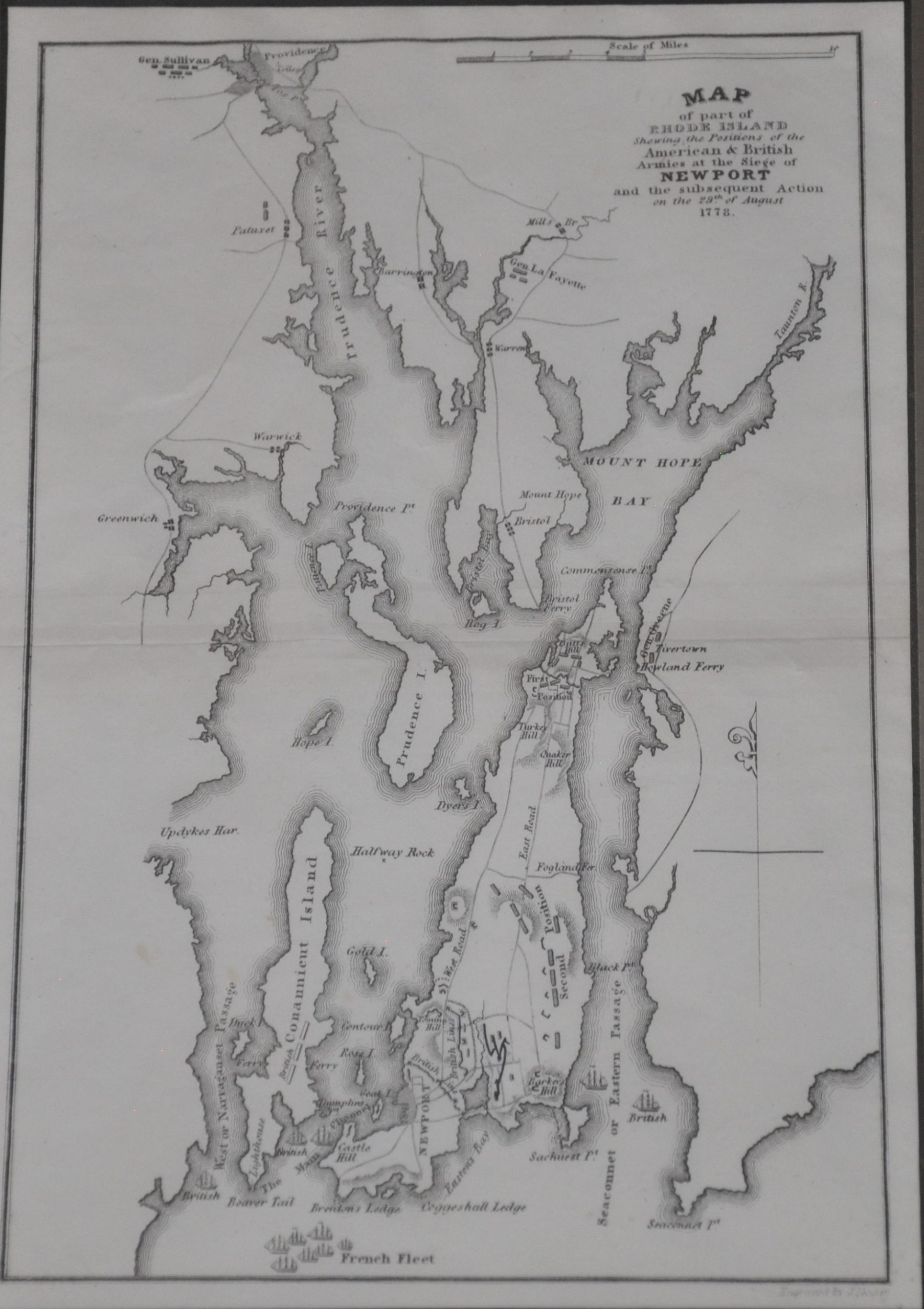
Map of part of Rhode Island Shewing the Positions of the American & British Armies at the Siege of Newport
Attractively framed map showing the Battle of Rhode Island during the American Revolutionary War.
Out of stock
Description
This crisply engraved map is focused on Narragansett Bay in Rhode Island and shows the various military forces arrayed during the Siege of Newport. Continental forces under General John Sullivan were besieging British troops stationed in Newport when the French fleet under Admiral d’Estaing arrived in August of 1778 to support – the first instance of combined Franco-Anglo military operations during the American Revolutionary War.
The map lacks any dates – the French navy had withdrawn a few days before the battle, prompting the Americans to abandon the siege. They were attacked by a British sortie during the withdrawal – the inconclusive Battle of Rhode Island.
The map was engraved by J. Yeager and published in 1832 as part of John Marshall’s seminal biography on George Washington.
Map Details
Publication Date: 1832
Author: J. Yeager
Sheet Width (in): 7.10
Sheet Height (in): 10.00
Condition: A-
Condition Description: Light wear along the outer edges of the sheet and horizontal centerfold. A crisp impression on a bright sheet. An attractive double matted frame is available, free of charge but with extra shipping. Please inquire for further details.
Out of stock


