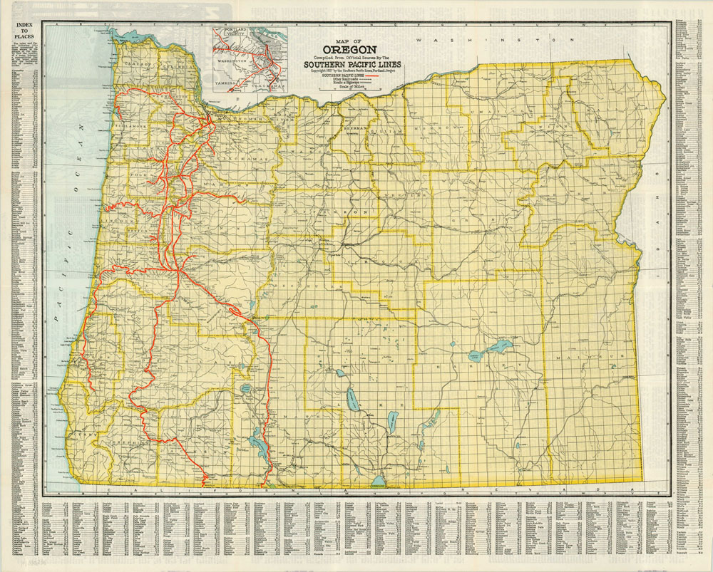
Map of Oregon Compiled from Official Sources by the Southern Pacific Lines
$95.00
Fold out map of Oregon published by the Southern Pacific Railroad after a long series of legal battles.
Description
The first Southern Pacific trains reached Los Angeles from San Francisco in 1876, traveling through the famous Tehachapi Loop. The S.P.’s lines quickly spread through much of the southwestern United States in the late 19th century. The company also had aspirations of expanding into the Pacific Northwest, and it was with those hopes that it gained control of the Oregon and California Railroad in 1887, extending its reach to Portland. However, the deal was done unscrupulously, and allowed directors at the former company to fraudulently sell immense quantities of land to nonexistent settlers. The government got involved after the scandal broke in 1904, and ensuing lawsuits put the land under federal control until its “official” sale to the Southern Pacific in 1927, the year this map was published.
The proud new owners of one of the only rail lines to Portland published this map as quickly as it could, advertising to all service to “the land of opportunity and achievement.” On the verso are 18 panels of information, including agent lists, key data on the state, and a small inset map.
Map Details
Publication Date: 1927
Author: Southern Pacific
Sheet Width (in): 27
Sheet Height (in): 22
Condition: A
Condition Description: The map is in excellent condition, with creasing along originally issued fold lines and small pinholes at the intersections.
$95.00