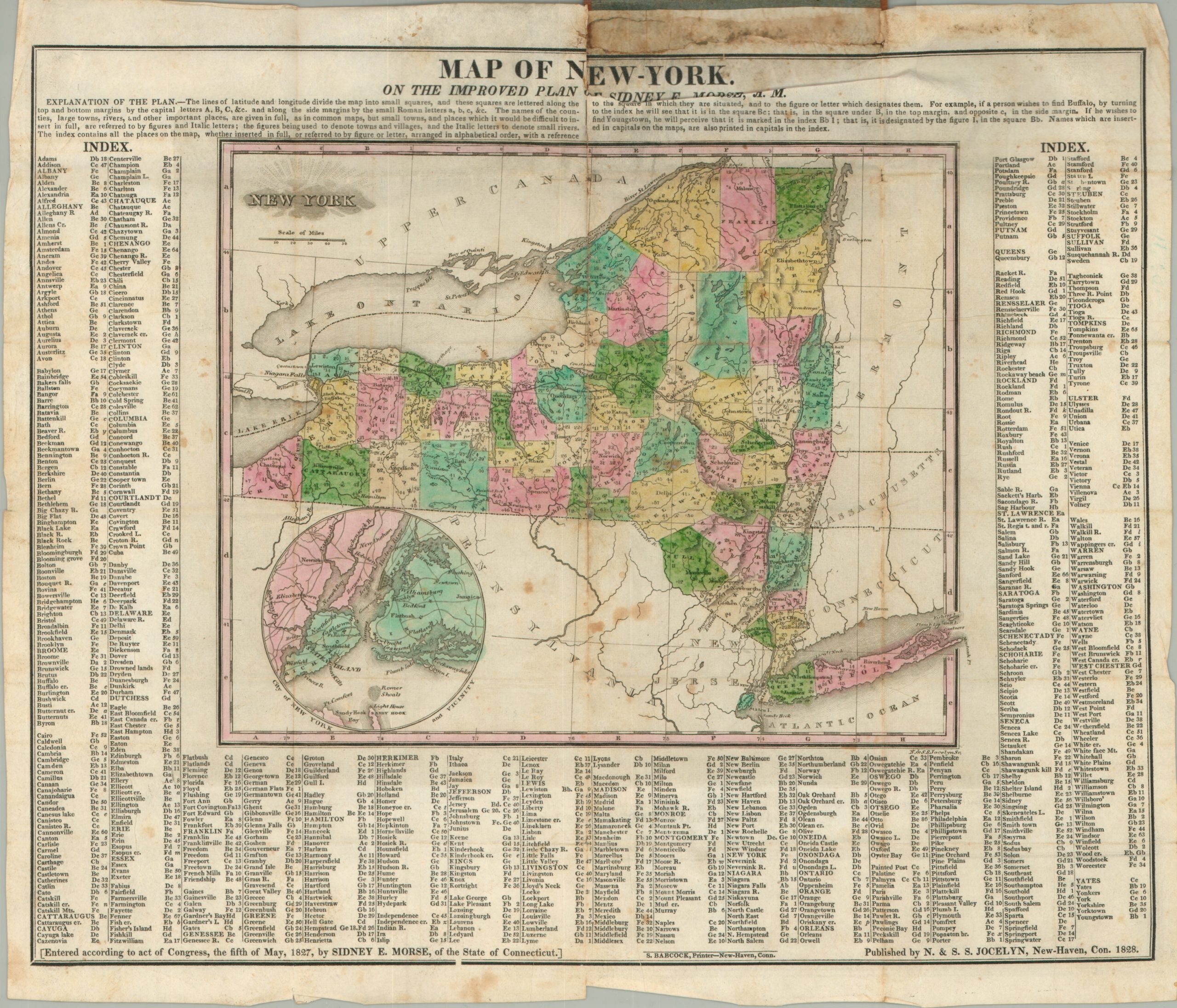
Map of New York on the Improved Plan of Sydney E. Morse
$750.00
Rare pocket map of the state of New York.
Description
The completion of the Erie Canal in 1825 fundamentally changed the complexion of New York State. It increased the importance of ports like Buffalo and New York City, from which goods could be cheaply shipped west. Emigration to the west, both within the state and the country, was more easily facilitated, and a large number of workers who built the canal ultimate settled in towns along its route.
These changes, supplemented by the development of the railroad, can be seen on this 1828 map of New York by Sydney Morse. Towns are labeled individually to avoid clutter, and an inset map of the area around New York reflects the growing importance of the region to commerce and industry. In addition to surveying and publishing, Morse was also a journalist and inventor, though not as well known as his brother, Samuel Morse.
Map Details
Publication Date: 1828
Author: Sydney Morse
Sheet Width (in): 15.00
Sheet Height (in): 12.80
Condition: B-
Condition Description: Fold lines as issued, some of which exhibit discoloration, especially on the right side. Minor foxing and severe discoloration in the top margin. One 2" tear near where the map is attached to the original brown leather cover.
$750.00

