Map of Minnesota Arrowhead Country
$95.00
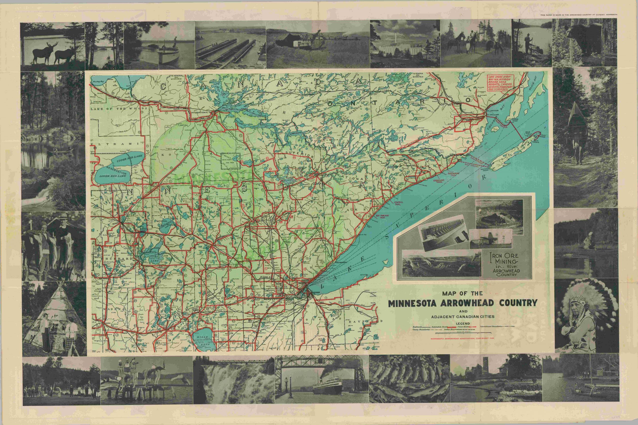
Prewar promotional brochure and map to Minnesota’s Arrowhead Country
1 in stock
Description
So named after it’s pointed shape, the Arrowhead Country of Minnesota comprises a loosely defined region in the northeast corner of the state. It is largely rural in composition, with outdoor sports and activities being the major draw.
Such highlights can be seen on this promotional map of the area, issued by a regional business association in 1938. Photographs of fishing, canoeing, and outdoor scenery comprise the border. Images of iron mining, another predominant industry, are also shown.
The map lists railroads, primary automobiles roads, canoe routes and the boundaries of Native American reservations. The verso features extensive text, advertisements, and additional full color views.
Map Details
Publication Date: 1938
Author: Minnesota Arrowhead Association
Sheet Width (in): 36.00
Sheet Height (in): 23.90
Condition: B+
Condition Description: Originally issued as a brochure folded into 24 segments. Moderate creasing and wear along fold lines, including a few separations that have been repaired on the verso. Remains in very good condition overall.
$95.00
1 in stock