Map of Minnesota Arrowhead Country and Central Canada from Winnipeg to the Nipigon
$125.00
“We have no land to sell – we have information to give?”
1 in stock
Description
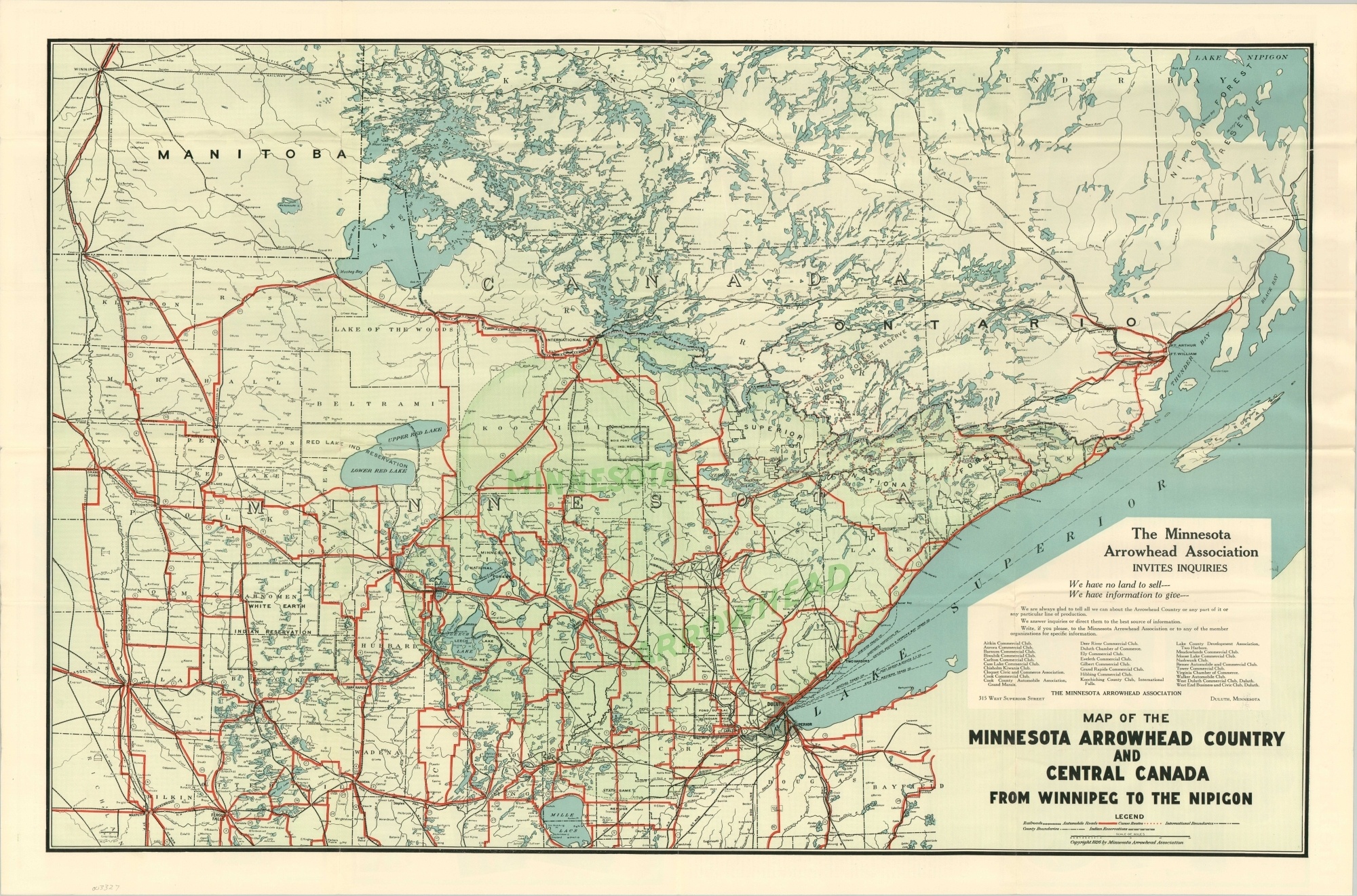
So named after its pointed shape, the Arrowhead Country of Minnesota comprises a loosely defined region in the northeast corner of the state. It is largely rural in composition, with outdoor sports and activities being the major draw.
Such highlights can be seen on this promotional map of the area, issued by a regional business association in 1926. Arrowhead Country is shaded in green, though the network of bright red automobile roads is shown connecting nearby areas in New York and Canada. Railroads, canoe routes, and political boundaries are also identified according to the legend below the title.
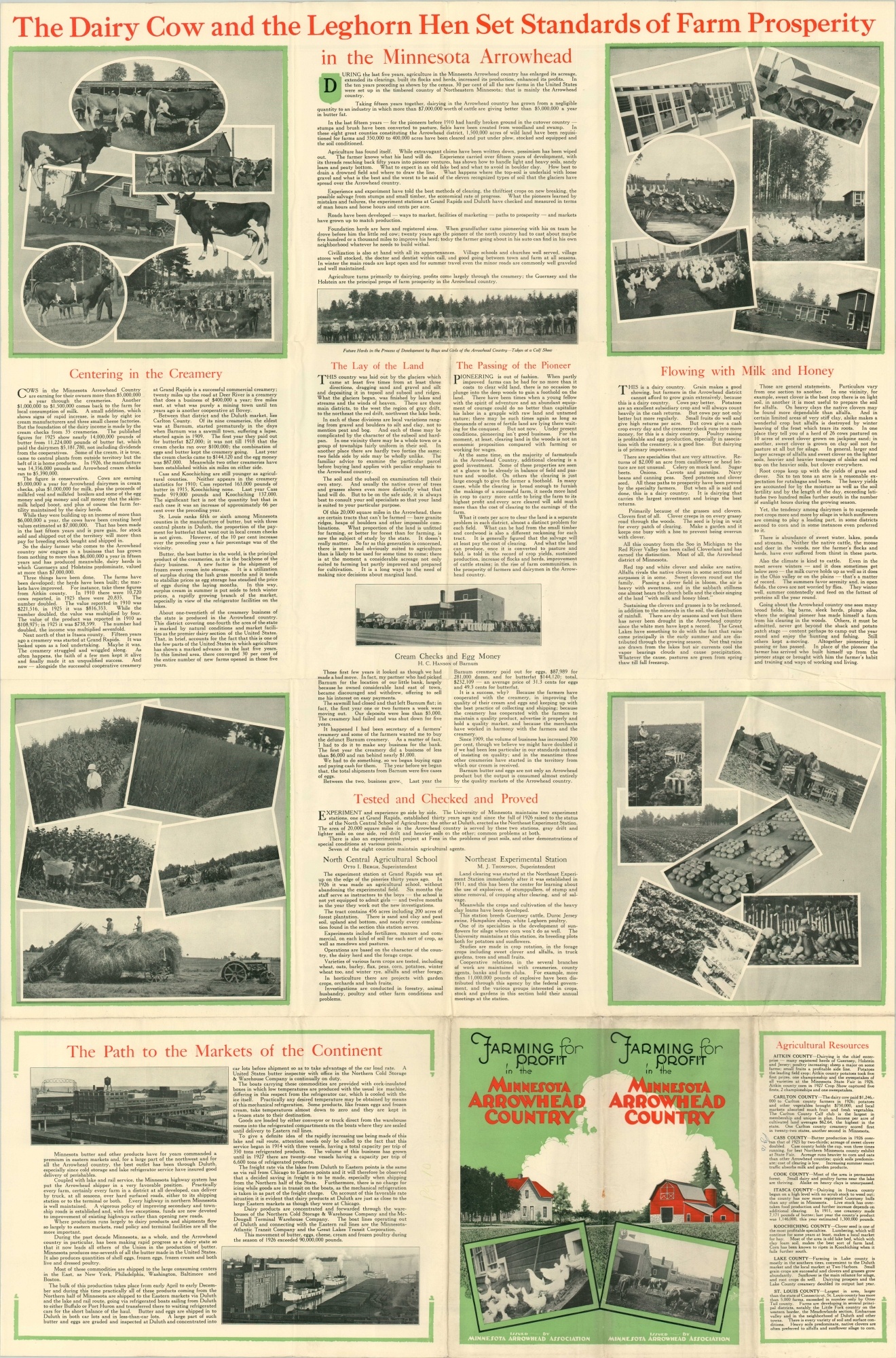
Numerous panels of text and photographs on the verso praise the region’s rich agricultural diversity, favorable climate, and robust transportation network. Bold text across the top claim “The Dairy Cow and the Leghorn Hen Set Standards of Farm Prosperity in the Minnesota Arrowhead.”
Map Details
Publication Date: 1926
Author: Minnesota Arrowhead Association
Sheet Width (in): 36.00
Sheet Height (in): 23.5
Condition: A
Condition Description: Originally issued as a brochure folded into 24 segments. Moderate creasing and wear along fold lines, including a few separations that have been repaired on the verso. Remains in very good condition overall.
$125.00
1 in stock