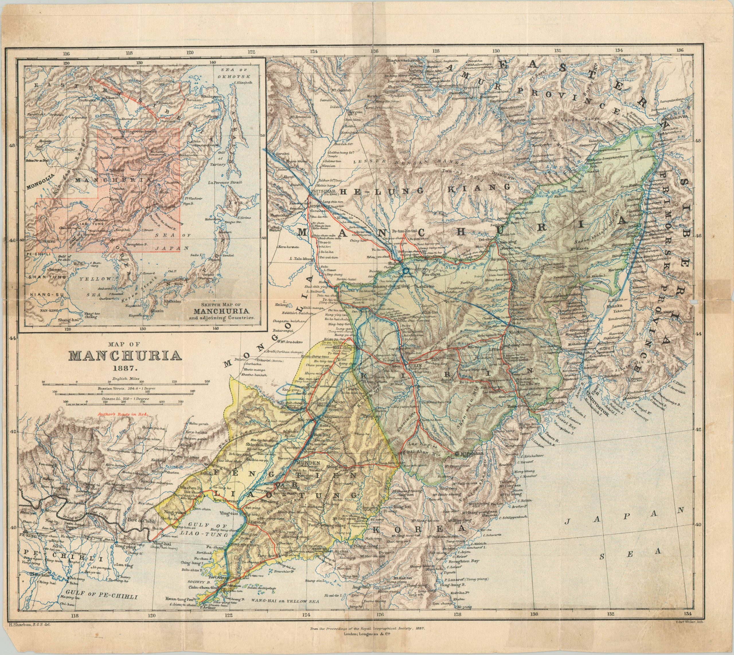
Map of Manchuria 1887
$75.00
Detailed map of Japanese Manchuria created from firsthand accounts.
1 in stock
Description
This finely engraved map of Manchuria was published in London by Longmans & Co. in 1887. It was created by Henry Sharbau, cartographer to the Royal Geographic Society, as part of their annual proceedings. The image contains an informative overview of the region near the end of the 19th century, as the Qing dynasty waned in power and Japanese influence reigned.
Sharbau worked for Japan as a cartographer and surveying instructor between 1873 and 1876, and his routes across Manchuria are highlighted in red. An inset map in the upper right provides further context on the regional geography.
Map Details
Publication Date: 1887
Author: Henry Sharbau
Sheet Width (in): 15.80
Sheet Height (in):
Condition: B
Condition Description: Wear along former fold lines has been repaired in several places with old tape, resulting in some moderate discoloration. The sheet is also slightly toned with age. Remains in good condition, with original color.
$75.00
1 in stock