
Map of Los Angeles City – Downtown Section – Los Angeles District Automobile Roads and other routes of travel
$200.00
The City of Angels during the First World War.
1 in stock
Description
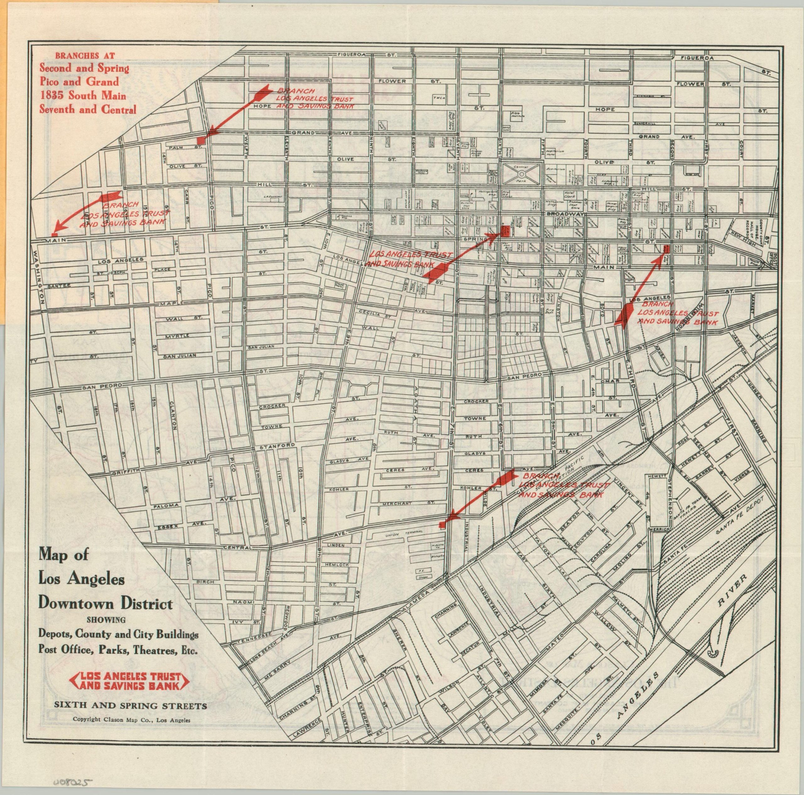
This fascinating 1918 pocket map of Los Angeles covers the metropolitan area during a period of immense change and development. America’s recent entry into WWI saw L.A. become a massive center for shipbuilding, recruitment, aviation development, and ‘Hollywood patriotism.’ Tens of thousands of soldiers, workers, and their families poured into Southern California during the wartime years, prompting regional growth that would continue through the Depression and World War II.
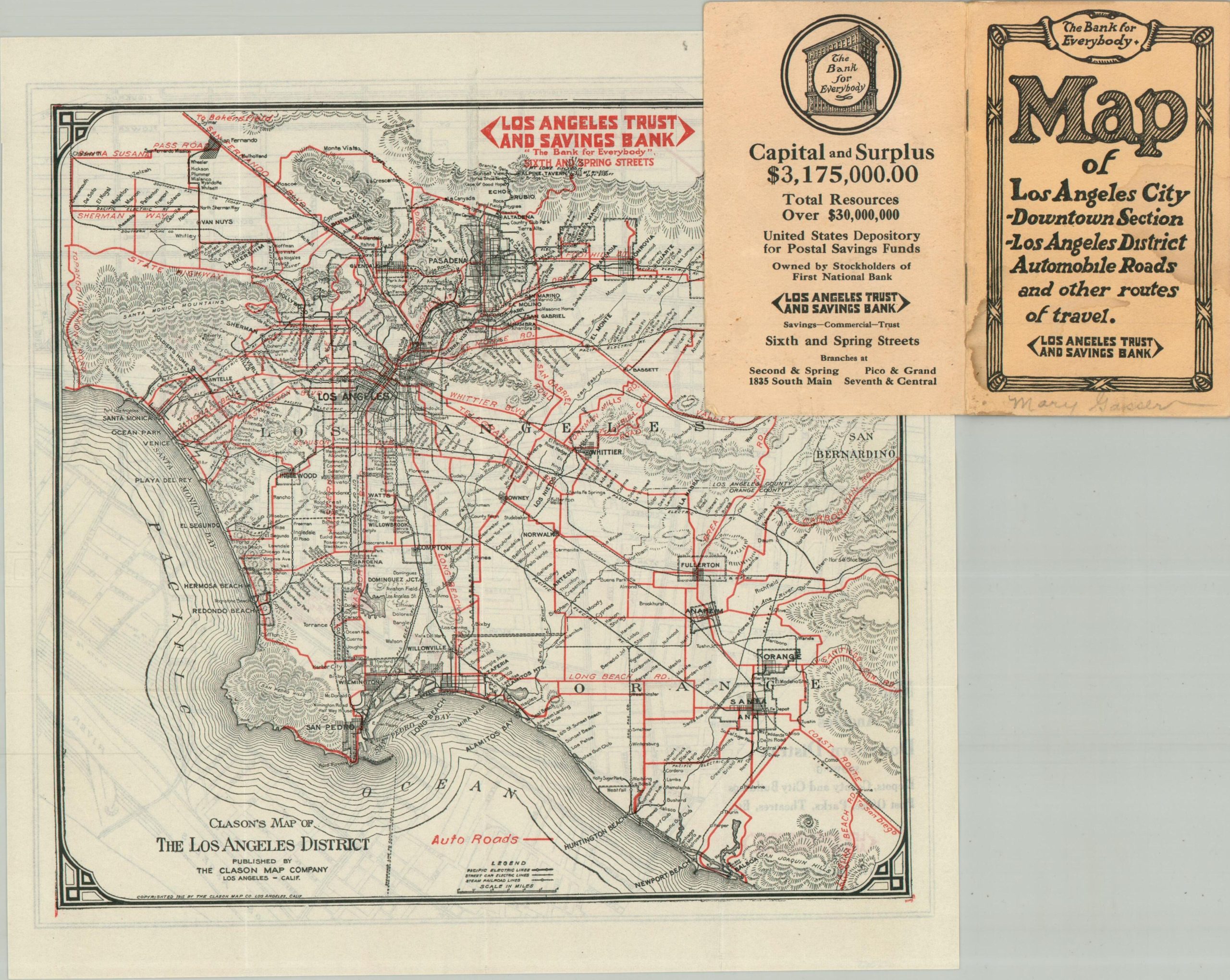
A fold-out map copyrighted by the Clason Map Company offers a large-scale view of the downtown district. Numerous important buildings are outlined and labeled, providing a detailed glimpse of a bygone era. The location of the Los Angeles Trust and Savings Bank, distributors of the piece, are highlighted in bright red. The verso of the sheet uses the same vibrant color to emphasize the primary auto routes throughout the Los Angeles region. The urban expansion is evident, with paved roads and lines of the Pacific Electric Railway stretching from San Fernando to Newport Beach.
The map is affixed to the back cover of a small booklet that highlights L.A.’s recent successes while promoting the security offered by the Los Angeles Trust and Savings Bank. Eight double-sided pages include a list of civic achievements, office buildings, hotels, theaters, transportation offices, churches, hospitals, clubs, and nearby locations of interest. The last category includes Sawtelle, a community established around a large home for disabled veterans that became a popular tourist attraction (and was then engaged in a bitter annexation dispute with L.A.). A centerfold chart of parcel postal rates notes a 1-cent war tax.
Map Details
Publication Date: 1918
Author: Clason Map Company
Sheet Width (in): 11.00
Sheet Height (in): 11.00
Condition: A-
Condition Description: Double-sided fold out map (size given) affixed to the back cover of a 16 pp. booklet with stapled binding and original yellow paper wraps. Map is sharply creased, but in near fine condition. The booklet shows a strip of toning along the upper margin and some rusting from the staples. Good to very good condition overall.
$200.00
1 in stock