Map of Los Angeles California
$60.00
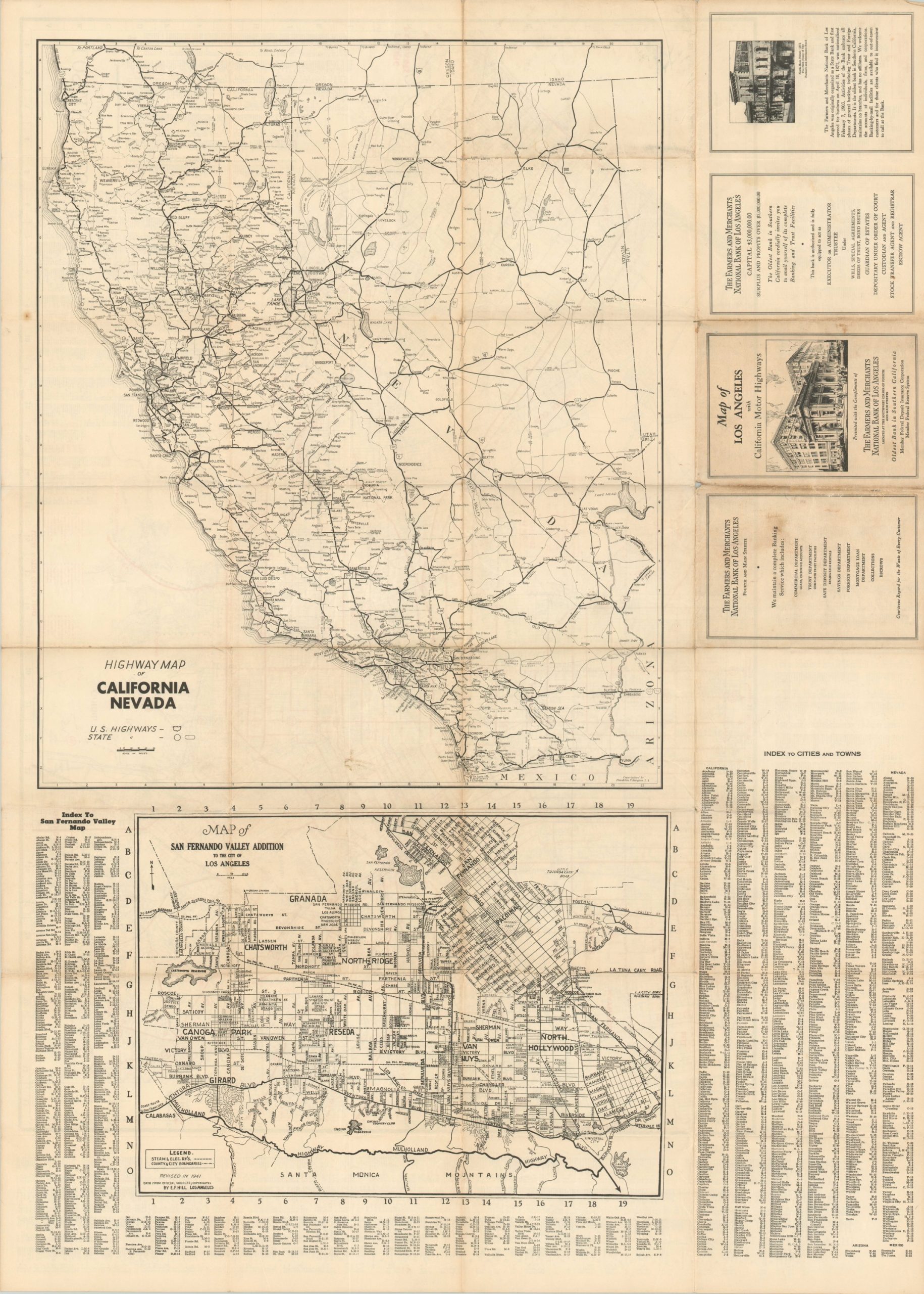
WWII-era transportation map of Los Angeles, California.
1 in stock

Description
This almost illegible city plan of Los Angeles, California inundates the reader with a complex network of transportation routes connected by bus, streetcar, and railway. Numbered routes, highlighted in red, are shown accessing nearly every corner of the greater metropolitan area from Pasadena to Santa Monica. A street index with thousands of different entries is provided along the sides and bottoms, though even with accompanying coordinates they would be tough to find on the map!
The verso includes a more comprehensible highway map of California and Nevada, as well as A Map of the San Fernando Valley Addition to the City of Los Angeles. The map was first designed by E.F. Hill in 1939 and revised to 1941. Distributed by the Farmers and Merchants National Bank of Los Angeles. Several advertisements for the firm can also be found on the verso.
Map Details
Publication Date: 1941
Author: E.F. Hill
Sheet Width (in): 38.75
Sheet Height (in): 27.75
Condition: B+
Condition Description: Formerly folded into 24 panels with creasing and moderate toning along fold lines. Small spots of separation at fold intersections and discoloration on the front panels (verso) that does not affect the image.
$60.00
1 in stock