Map of London Showing Principal Places of Interest and all “Chef & Brewer” Houses
$125.00
Pictorial pub map of London.
1 in stock
Description
This charming pictorial map of central London presents a profile view of many of the city’s numerous attractions and places of interest. Furthermore, the locations of “Chef & Brewer” public houses are outlined and named with bright yellow scrollwork labels.
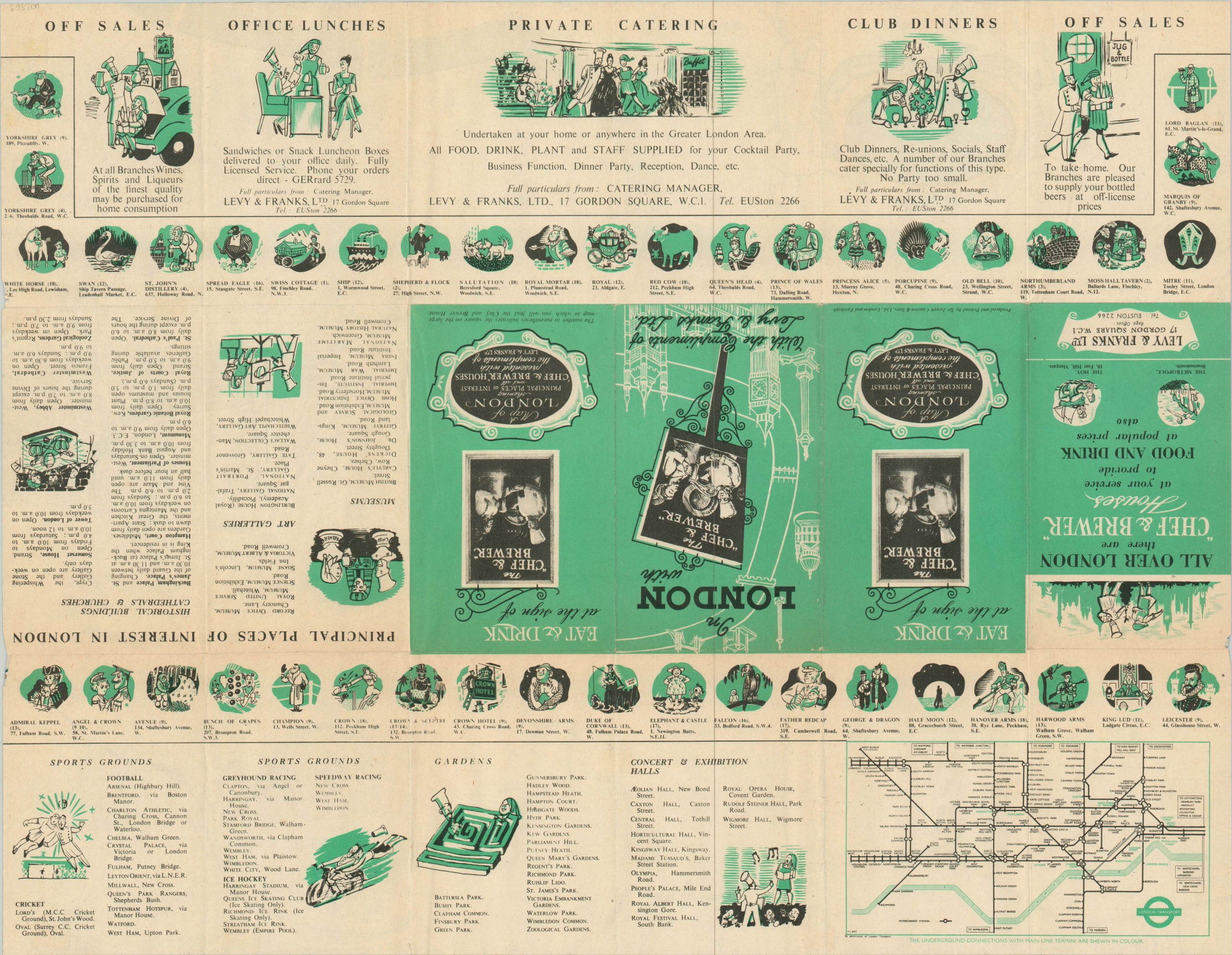
Over 20 different pubs are listed within the image and on the verso, which also includes advertisements for private catering, club dinners, and other services offered by Levy & Franks, Ltd. Today, nearly 140 pubs across Britain are part of the Chef & Brewer network. The verso also includes a condensed version of Harry Beck’s iconic Underground map, which assists in narrowing the published date to 1951 by the presence of Kilburn and Walham Green stations.
Map Details
Publication Date: 1951
Author: Sir Joseph Causton & Sons
Sheet Width (in): 21.00
Sheet Height (in): 16.25
Condition: B+
Condition Description: Light creasing along originally issued fold lines, including small pinholes at fold intersections and a 3" separation that has been repaired on the verso. Mild wear along the outer edges, but remains in very good condition overall.
$125.00
1 in stock


