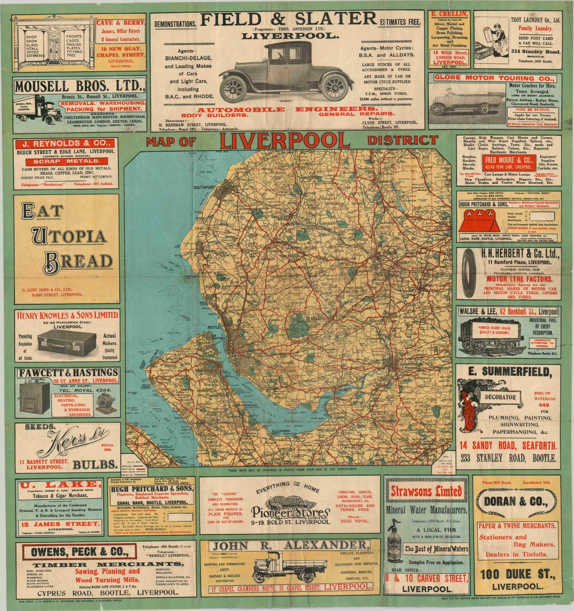
Map of Liverpool District
$165.00
Eye-catching pocket map of Liverpool and the surrounding area.
1 in stock
Description
Published in Nottingham by the firm of J.W. Harding & Co., this bold sheet presents a transportation map of the Liverpool district surrounding by a border of contemporary local advertisements. Main roads are shown in red and railroads in hashed black; while parks, towns, and sand banks are individually labeled. The advertisements include a wide mix of businesses from the early 1900’s, including dry good stores, paper merchants, “industrial fuel of every description”, “travelling requisites of all kinds” and more.
Map Details
Publication Date: c. 1920
Author: J.W. Harding & Co.
Sheet Width (in): 28.75
Sheet Height (in): 30.50
Condition: B
Condition Description: Originally folded into 42 panels with original paper covers. Several areas of breaking and wear at fold intersections, including 5 or 6 spots with old cellophane tape repair. A few edge tears have been repaired on the verso with archival tape. A few spots of minor discoloration (see upper right) and extraneous creasing. Overall the map is in fair to good condition.
$165.00
1 in stock

