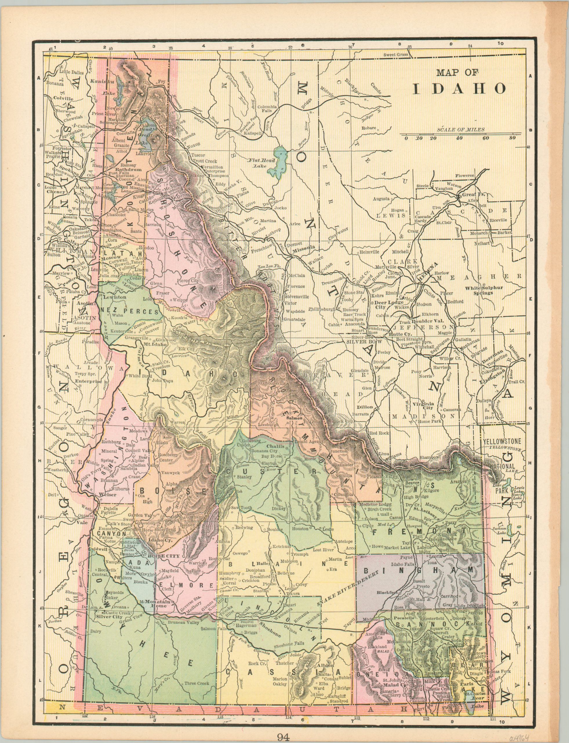
Map of Idaho
An early map of Idaho, printed just a few years after statehood.
Out of stock
Description
This interesting map of Idaho was published by George Cram in Chicago around 1895. It provides a detailed overview of ‘The Gem State’ shortly after it was admitted to the Union under President Benjamin Harrison.
Railroads (both completed and proposed) feature prominently throughout the image, with an evident concentration in the northern and southeastern areas. Topography is depicted in hachure, emphasizing the rugged terrain that made railroad construction difficult, but offered a bounty of wealth in terms of mineral resources.
A fascinating variety of settlements, geographic features, and locations of interest are labeled, while vibrant printed color distinguishes the county outlines that help to narrow the publication date.
Map Details
Publication Date: c. 1895
Author: George Cram
Sheet Width (in): 11
Sheet Height (in): 14.5
Condition: A-
Condition Description: Toned margins and part of the binding strip remains attached on the far right side of the sheet. Very good overall.
Out of stock

