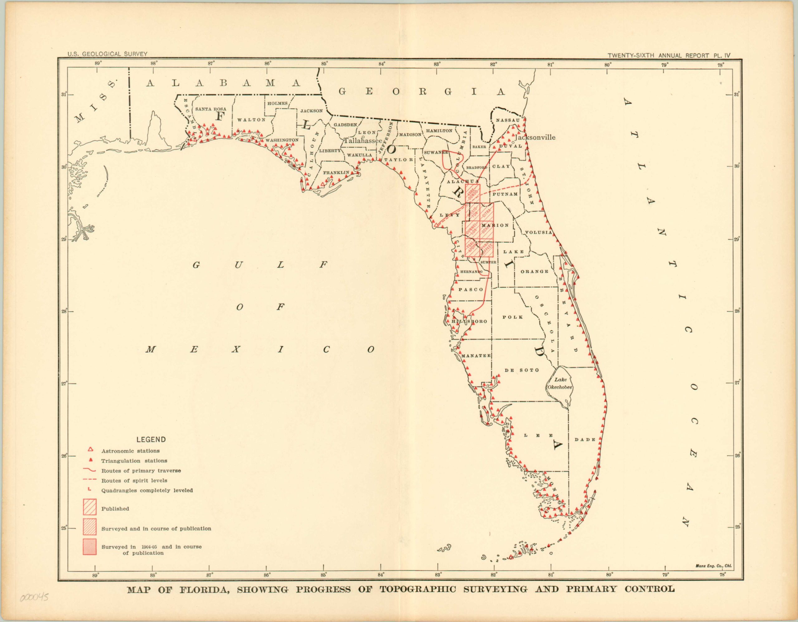
Map of Florida, Showing Progress of Topographic Surveying and Primary Control
$50.00
County map of Florida highlighting progress of the U.S. Geological Survey.
Description
The United States Geological Survey was founded in 1879 and has been producing topographical maps for over 100 years. This map was designed to accompany an annual report of the agency, and shows the survey progress being made in Central Florida relative to the entire state. The published area (shaded by red hatching), centered near Gainesville, is notoriously swampy and comprises a number of state parks, wilderness areas, and bodies of water. These natural features undoubtedly made surveying this region especially troublesome.
The legend provides details on the survey process – triangulation stations are locations where mathematical measurements were taken as part of the survey, and astronomic stations are points where celestial measurements occurred. Spirit levels, more commonly known as bubble levels, were used by surveyors to determine minute changes in elevation.
Map Details
Publication Date: 1905
Author: U.S. Geologic Survey
Sheet Width (in): 12.5
Sheet Height (in): 9.5
Condition: A
Condition Description: The map is in excellent condition, with very minor wear along centerfold
$50.00

