
Map of Dallas and Vicinity Texas
$165.00
The Big D in the late 1950s.
1 in stock
Description
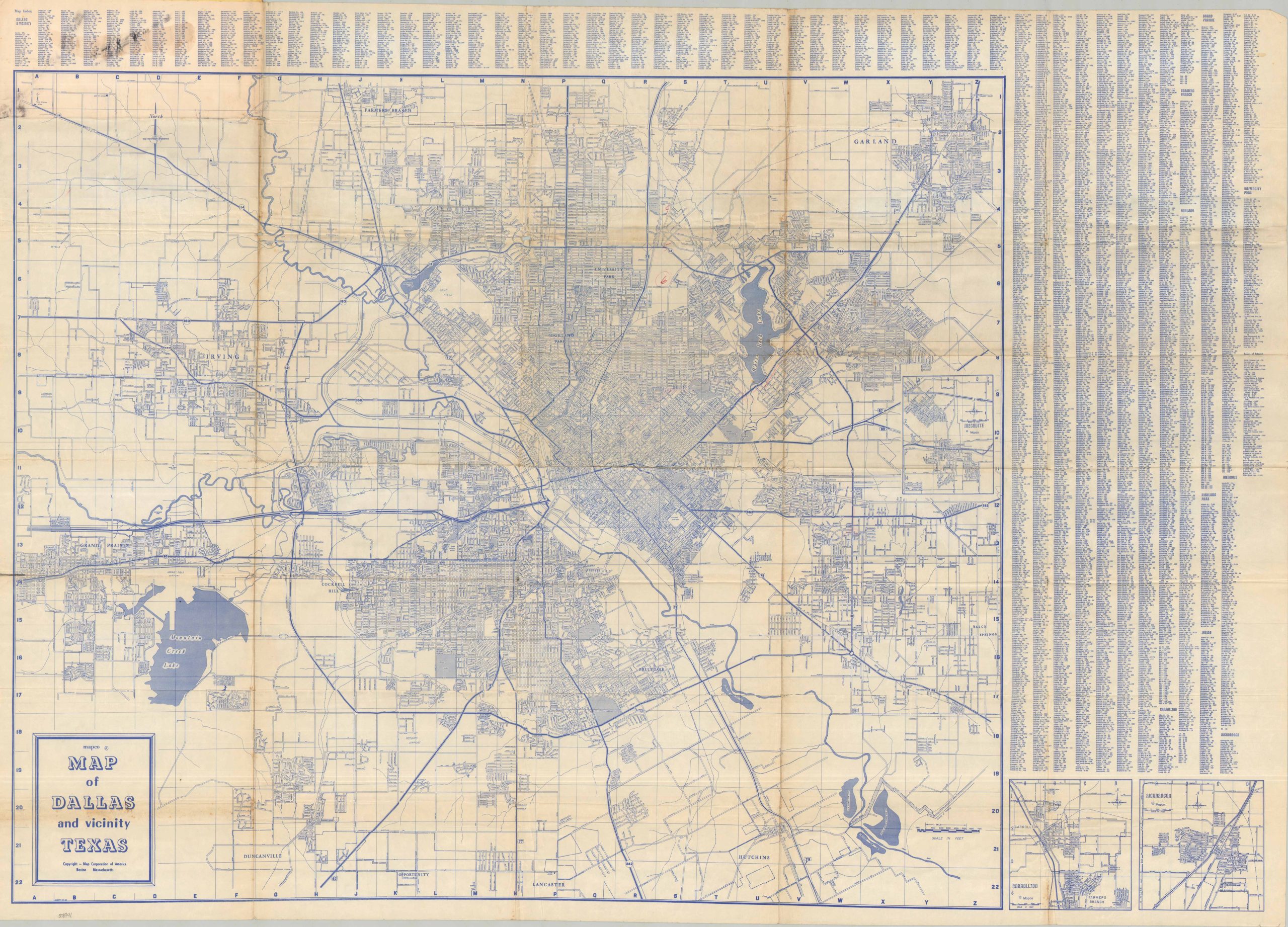
This detailed street plan offers an intimate look at Dallas during the late 1950s. Highways have encircled and bisected the metropolitan area, connecting to rapidly expanding suburbs like the upscale Highland Park. Insets show the areas around Mesquite, Richardson, and Carrollton. Various locations of interest are labeled, including Love Field, the Cotton Bowl, Southern Methodist University, and more.
The map was published by the Boston-based Map Corporation of America (MAPCO). Undated, but most likely published in 1958 based on a few factors: the presence of the Dallas-Fort Worth Turnpike (completed in 1957), the estimated population on the back cover (621,500), and the absence of the Stemmons Highway towards Carrollton.
Map Details
Publication Date: c. 1958
Author: Map Corporation of America
Sheet Width (in): 41.75
Sheet Height (in): 30.00
Condition: B
Condition Description: Single-sided map, folded and affixed to original yellow paper covers. Heavily worn and moderately toned along folds, with a small hole at a joint in the upper center of the sheet. Old manuscript annotations in several areas, some wrinkling in the lower right corner, and scattered toning (see scan). Better than fair, but not quite good condition overall.
$165.00
1 in stock