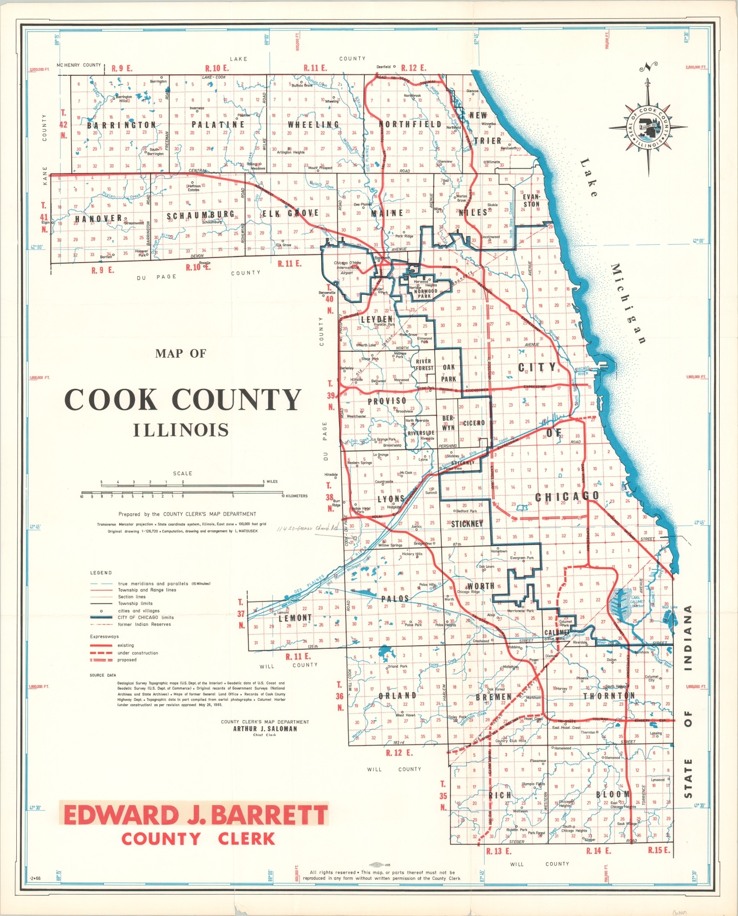
Map of Cook County Illinois
$50.00
The Cook County Expressways in the mid-1960’s.
1 in stock
Description
This map of Cook County, Illinois shows the network of expressways near the end of the frenetic construction boom that began around 1958. Most of the primary routes familiar today have already been constructed, but the proposed routes for I-290 and I-57 can be seen. The course of the former would be modified slightly so as not to extend fully to Midway Airport, as originally planned. Lines of former Indian Reserves are also noted – an interesting inclusion on an otherwise highly utilitarian transportation map.
The map was prepared by the Cook County Clerk Map Department under chief Arthur Saloman. The County Clerk, at the time of publication, was Edward Barrett. Barrett succeeded Richard Daley in the role that he would hold until 1973, when he was convicted of bribery, mail fraud, and tax evasion.
Map Details
Publication Date: c. 1965
Author: Cook County Clerk Map Department
Sheet Width (in): 22.4
Sheet Height (in): 27.6
Condition: A-
Condition Description: Creased along former fold lines and a few small tears along the outer edges of the sheet. Slightly discolored around the outside, consistent with age.
$50.00
1 in stock

