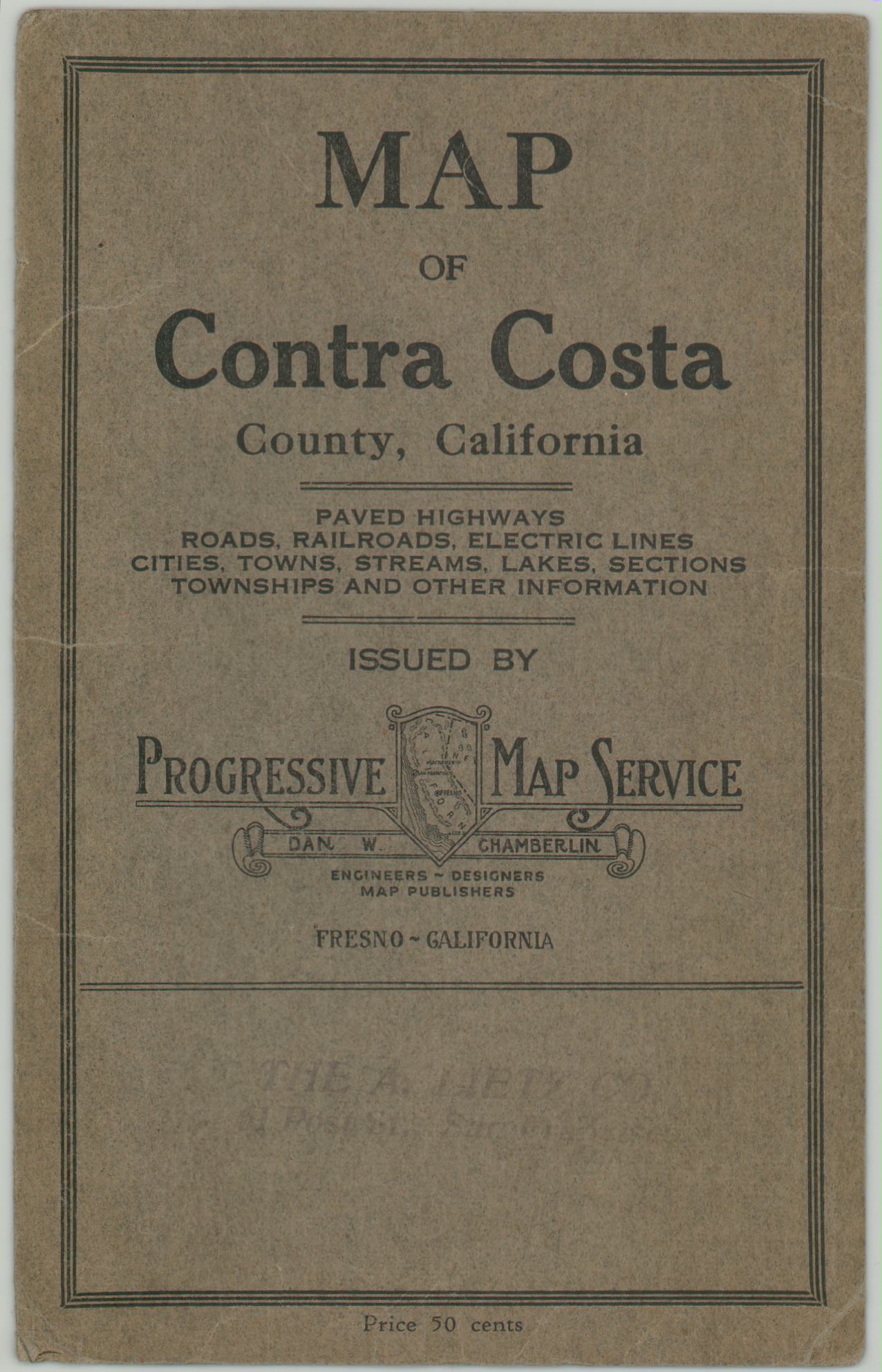
Map of Contra Costa County
Simple pocket map of Contra Costa County, part of California’s East Bay.
Out of stock

Description
This appealing pocket map of Contra Costa County, California was published around 1920 in Fresno by the Progress Map Service. Bold lines highlight the handful of paved roads that extend beyond Oaklands urban core along San Francisco Bay, while the much more common ‘open roads’ can be seen accessing the majority of the county’s interior. Ferry routes and railroads are also identified.
Land grants, primarily in the form of ranchos (holdovers from earlier Spanish and Mexican governments) are outlined. Sections are numbered individually, while topography is notably absent with the exception of Mt. Diablo in the center.
Map Details
Publication Date: c. 1920
Author: ProgressiveMap Service
Sheet Width (in): 29.50
Sheet Height (in): 17.25
Condition: A-
Condition Description: Moderate creasing and light wear along originally issued fold lines, including a bit of discoloration on the left side. Covers are present, but separated. Remains in very good condition overall.
Out of stock