Map of Colorado
$125.00
Early 20th century promotional pocket map of Colorado.
1 in stock
Description
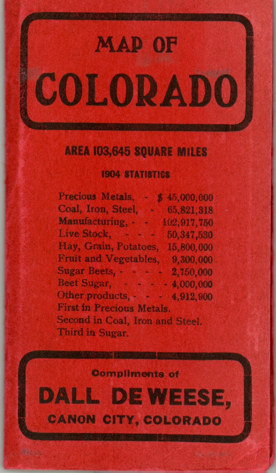
This is an interesting pocket map of Colorado, issued in 1905 by the Kenyon Printing and Manufacturing Company of Des Moines, Iowa. It was distributed by Dall DeWeese, a land agent operating in Canon City who had improved several thousand acres of arid land into suitable farmland ready for sale.
Bold red text overlaid across the top and bottom of the sheet extols the work performed by Mr. DeWeese, while the plots he references are marked by large numbers within the map’s image. Canon City, “The Health Resort of Colorado” is also circled in red.
Elsewhere, the image shows a rapidly developing system of roads and railroads facilitating new settlement across the state. Large county configurations reflect the sparse population in many areas. Topographical detail is shown in faint hachure; while survey lines, towns and natural features are also individually labeled. On the verso is an index showing the location and populations of towns across the state. The back cover expands upon Dall’s efforts of reclamation, irrigation, surveying, fencing, grading, planting, and marketing.
Map Details
Publication Date: 1905
Author: Kenyon Printing & Mfg. Co.
Sheet Width (in): 19.00
Sheet Height (in): 14.70
Condition: A
Condition Description: Near fine condition. Slight creasing and wear to the original red paper covers (attached) and a bit of discoloration where the map is attached with adhesive. Bright colors on a crisp, clean sheet.
$125.00
1 in stock


