Map of Chicago’s Downtown or Business District, Grant Park and Yacht Harbor on Lake Michigan
$89.00
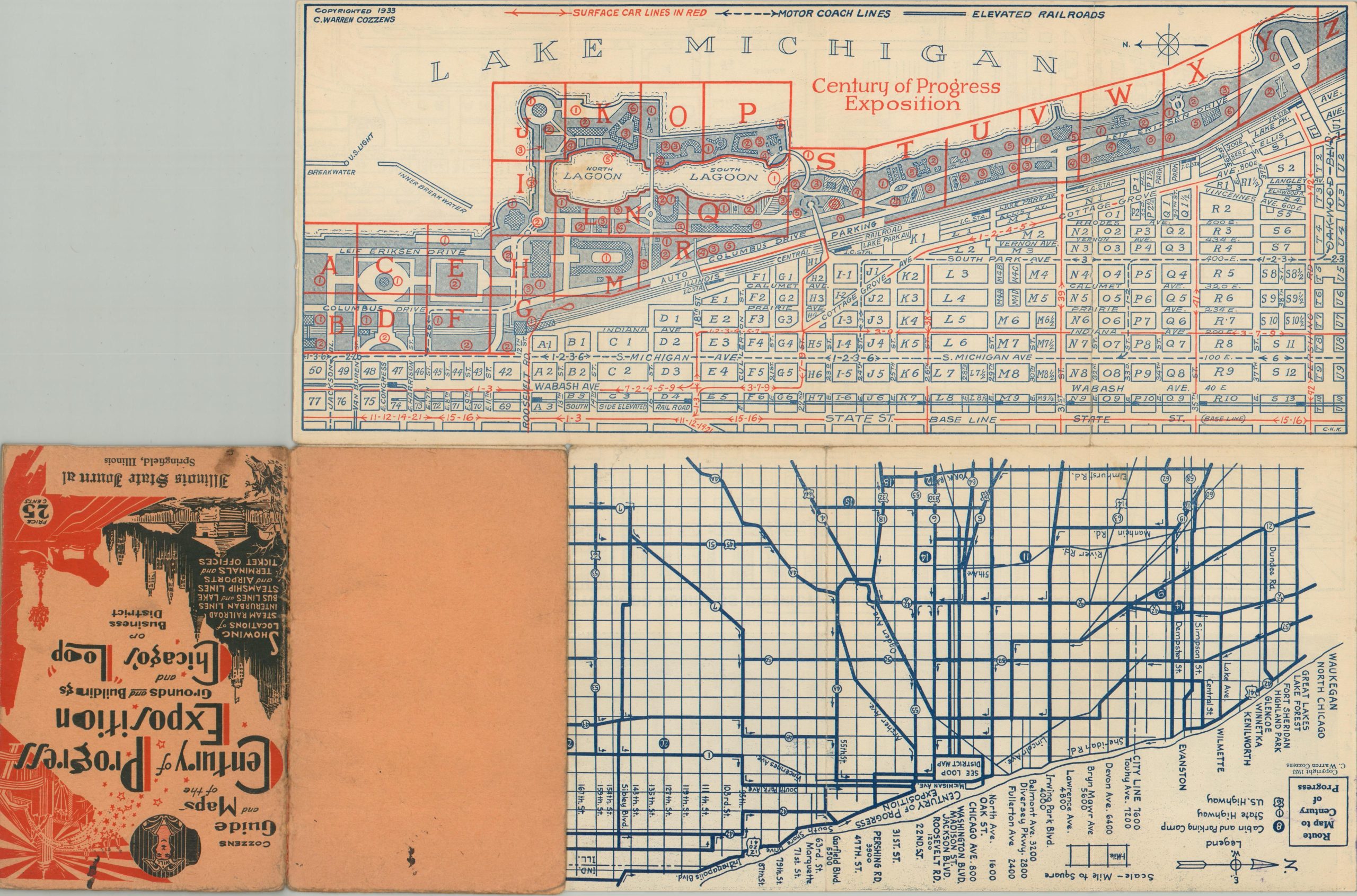
Descriptive map of Chicago’s downtown with accompanying guidebook to the 1933 Century of Progress.
1 in stock
Description
This informative map of Chicago’s Loop, River North and Near West Side neighborhoods takes a two-part approach. A panoramic photograph of the city’s impressive skyline can be seen across the top of the sheet, while the map immediately below labels every block in the area with a specific number.
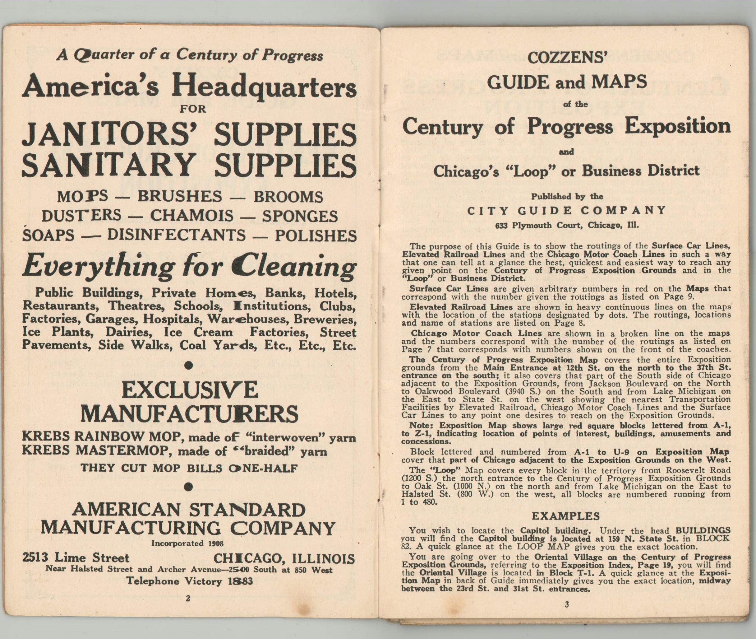
Accompanying the map is a 24-page guidebook identifying relevant attractions and places of interest within each numbered block, in addition to information specific to the Century of Progress. Transportation routes to the fair are also noted, while the verso features a large-scale map of the grounds and a small-scale road map of the greater Chicago area. Copyrighted and published in 1933 by C. Warren Cozzens.
Map Details
Publication Date: 1933
Author: C. Warren Cozzens
Sheet Width (in): 15.1
Sheet Height (in): 12.6
Condition: A-
Condition Description: Double-sided folding map affixed to original 24 pp. guidebook with illustrated yellow paper wraps and stapled binding. Light scattered soiling visible in the lower right and some faint toning and wear along fold lines, consistent with age and use. One spot on the title page and front cover, in the lower corner. Very good overall.
$89.00
1 in stock


