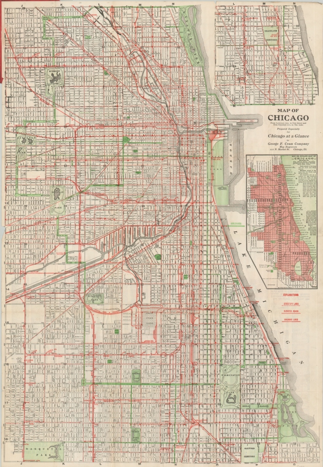
Map of Chicago Prepared Especially for Chicago at a Glance
“ALL A STRANGER MAY DESIRE TO KNOW IN BRIEF AND ATTRACTIVE FORM” [Title Page]
Out of stock
Description
This lively map of the city of Chicago was created by George Cram to accompany Chicago at a Glance, published in 1918 by Edward Walsh. Three types of bright red lines highlight the robust transportation system comprised of street railways, elevated lines, and steam railroads.
The city’s parks, many of which are connected by tree-lined boulevards, are highlighted in green. Two insets on the right side show the upper limits between Diversey and Lawrence (top) and an outline map of Chicago’s new house numbering system (bottom).
The guidebook is also available, though separated from the covers, and provides a wealth of contemporary information on the Second City the year before Capone made it his home. Baseball schedules (Wrigley was completed only a few years prior), photographs, transportation details, and descriptions of places of interest are all among the contents.
Map Details
Publication Date: 1918
Author: George Cram
Sheet Width (in): 24.75
Sheet Height (in): 35.75
Condition: B+
Condition Description: Pocket map folded into 36 panels and affixed to original red paper covers. Creasing along fold lines, discoloration and wear along the edge in the upper right corner, and a few small tears and separations have been repaired on the verso with archival tape. The contents of the original 126 pp. guidebook are present, but separated. Stapled binding with creased corners, but in good condition overall.
Out of stock

