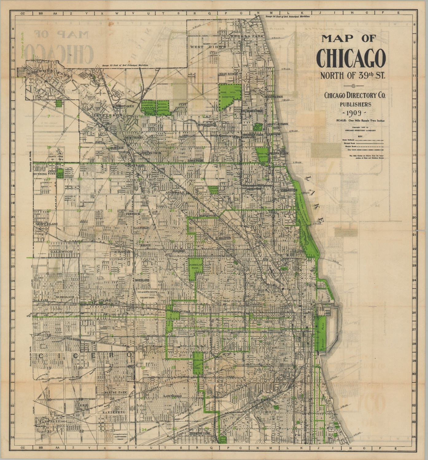
Map of Chicago North of 39th St. [and] Map of Chicago South of 39th St.
Chicago’s North and South Sides the year of the Burnham Plan.
Out of stock
Description
This early 20th-century street plan of Chicago highlights the tremendous growth of the city in the preceding few decades. The city limits are nearing their maximum extent after huge annexations in 1889, and the population had ballooned to over 2 million.
North and South Chicago are split along 39th Street, with each side showing transportation routes, green spaces (literally), and major landmarks. The mix of steam, elevated, and electric railroads reflect changing trends in transportation preferences. Even so, travel by both horse-drawn carriage and foot remained extremely popular throughout the city. Concentric circles radiate in one-mile increments from the figurative heart of the city at State and Madison Streets, providing a handy distance reference for all means of conveyance.
Published in Chicago in 1909 by the Chicago Directory Company.
Map Details
Publication Date: 1909
Author: Chicago Directory Company
Sheet Width (in): 26.25
Sheet Height (in): 27.75
Condition: B
Condition Description: Moderate to heavy wear along former fold lines, including edge tears confined to the margins and several areas of separation along seams that have been reinforced with archival tape. The upper right corner of the south side sheet is toned from age and exposure.
Out of stock


