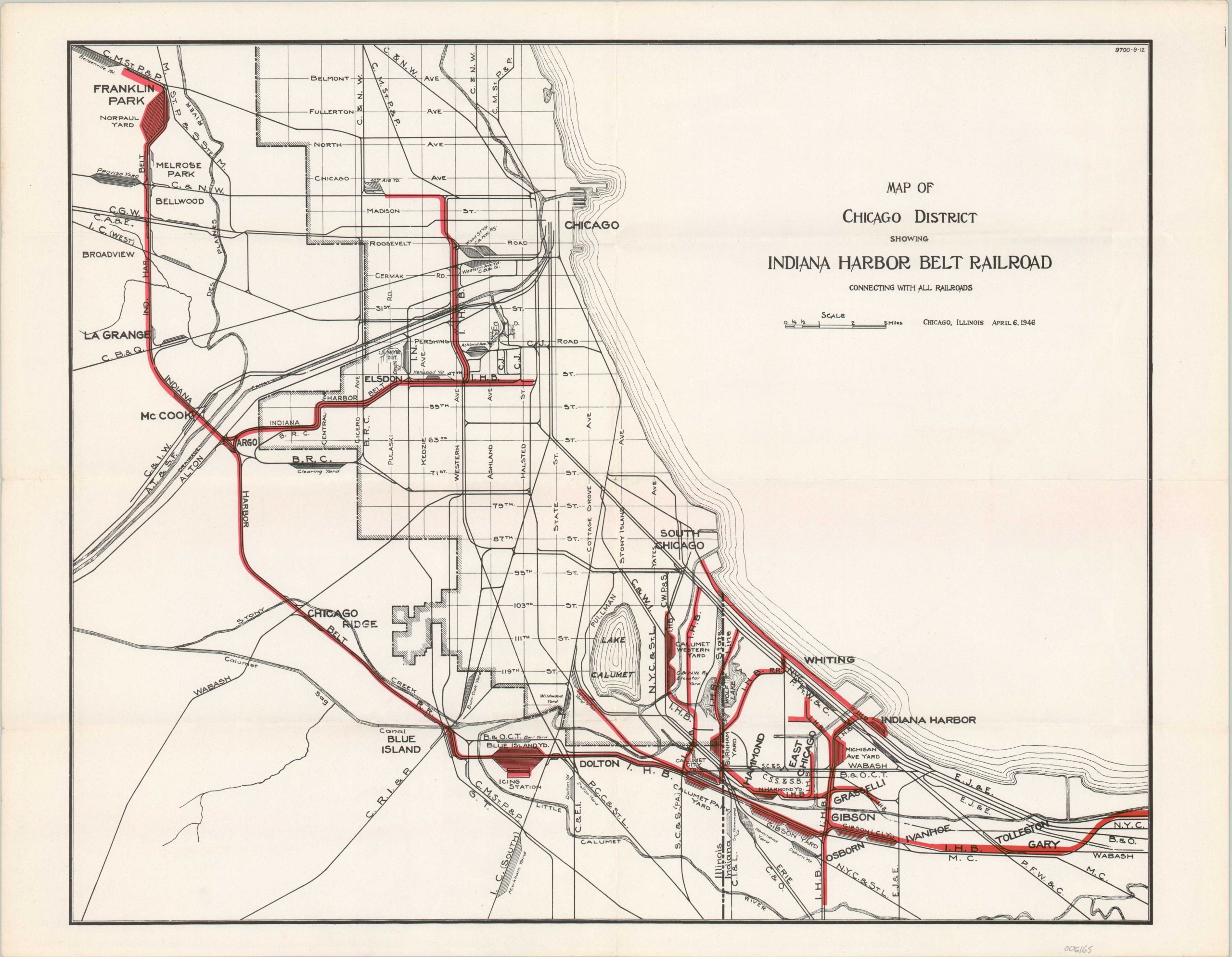
Map of Chicago District Showing Indiana Harbor Belt Railroad
Postwar map of the largest switch carrier in the United States.
Out of stock
Description
This map highlights the routes in operation of the Indiana Harbor Belt Railroad. The IHB was one of three primary belt railway companies that began operations in the late 19th century to help relieve Chicago’s congestion issues. It remains in operation today as the largest switch carrier in the United States.
Lines stretch from the Norpaul Yard in Franklin Park, Illinois to Gary, Indiana. The primary yard was at Blue Island and the company headquarters were located in Hammond. A fascinating variety of other railroad infrastructure is also labeled. Published in Chicago in 1946.
Map Details
Publication Date: 1946
Author: Indiana Harbor Belt Railroad?
Sheet Width (in): 21.9
Sheet Height (in): 16.9
Condition: A
Condition Description: Creasing and light wear along originally issued fold lines. Near fine condition overall.
Out of stock

