Map of Cape Town
A last look at a racially inclusive Cape Town, published the same year as the introduction of apartheid.
Out of stock
Description
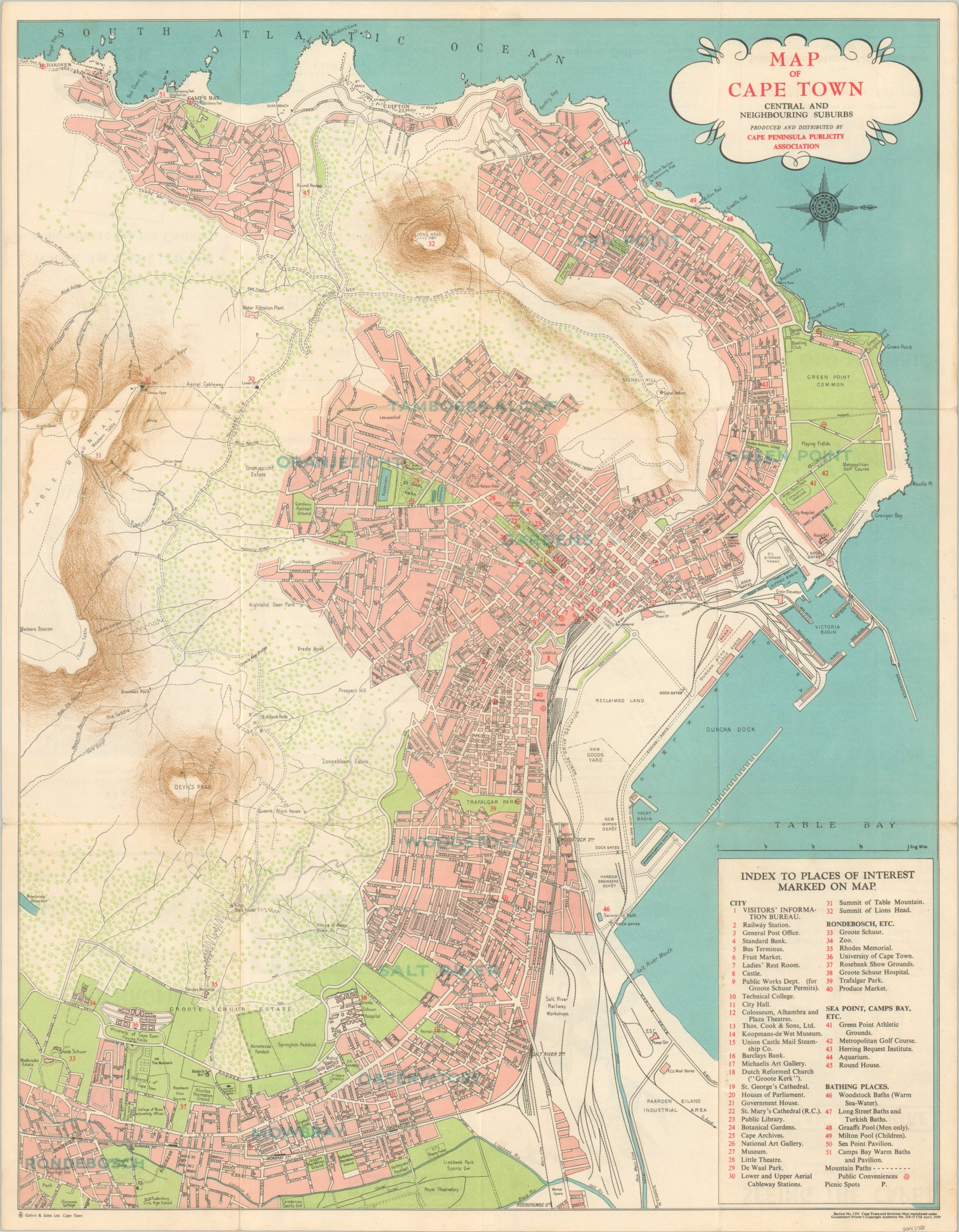
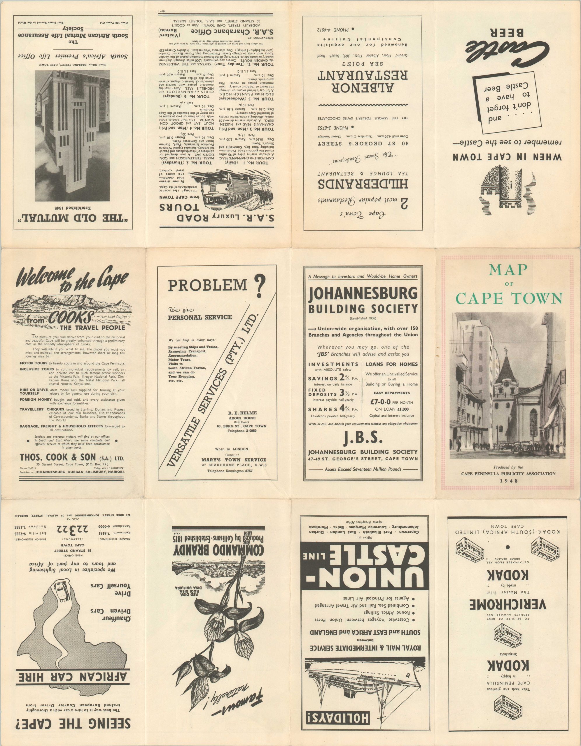
This brightly colored and eminently practical tourist map of Cape Town, South Africa was published and distributed in 1948 by the Cape Peninsula Publicity Association. A legible street grid is punctuated by over fifty different numbered locations of interest; in addition to numerous other labeled buildings, geographic features, and local industries. Devil’s Peak and Table Mountain are prominently featured on the left side of the page amid a robust network of hiking trails. Numerous contemporary advertisements can be seen on the verso.
The map was printed in Cape Town in by Galvin & Sales Ltd. The same year as publication, D.F. Malan’s Nationalist Party won the South African General Election on a platform of racial segregation that would entrench white political power amid a largely disenfranchised black majority. The resulting social policies became collectively known as apartheid, or ‘separateness’, and would continue to officially plague South Africa and Namibia into the 1990s, while the effects persist well into the modern day.
Source: Cape Town: The Segregated City
Map Details
Publication Date: 1948
Author: Cape Peninsula Publicity Association
Sheet Width (in): 19
Sheet Height (in): 15.7
Condition: A-
Condition Description: Map folds into 12 panels, with light wear and faint discoloration along fold lines (see lower right). Tiny tears around the outer edges and some minor discoloration on the verso that does not affect the image. Very good overall.
Out of stock


