
Map of Beaufort, S.C.
$75.00
Contemporary newspaper map detailing the Union victory at the Battle of Port Royal.
1 in stock
Description
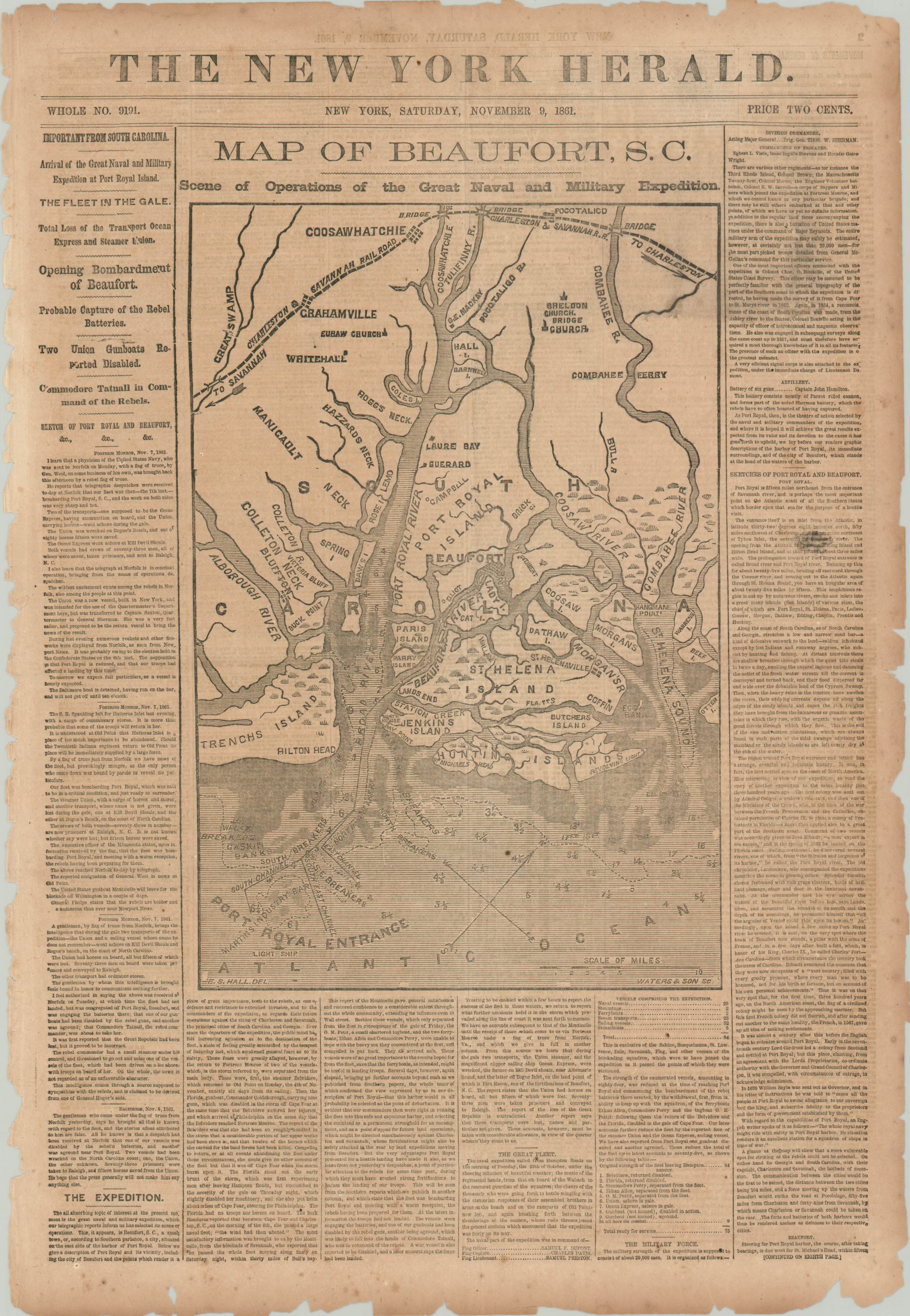
Taking place between November 3 and 7, 1861, the Battle of Port Royal, South Carolina was one of the earliest combined operations that took place in the American Civil War. A significant fleet under the command of Samuel Du Pont was able to bombard one of the Confederate forts protecting the approach to Beaufort, forcing the other to surrender and thus the capitulation of the city.
Oddly enough, neither fort is shown on this map, drawn by E.S. Hall and engraved by Waters & Son for the November 9, 1861 issue of the New York Herald. However, it does show geographic features like lowlands, sand banks, and rivers, along with notable landmarks referenced in the accompanying story.
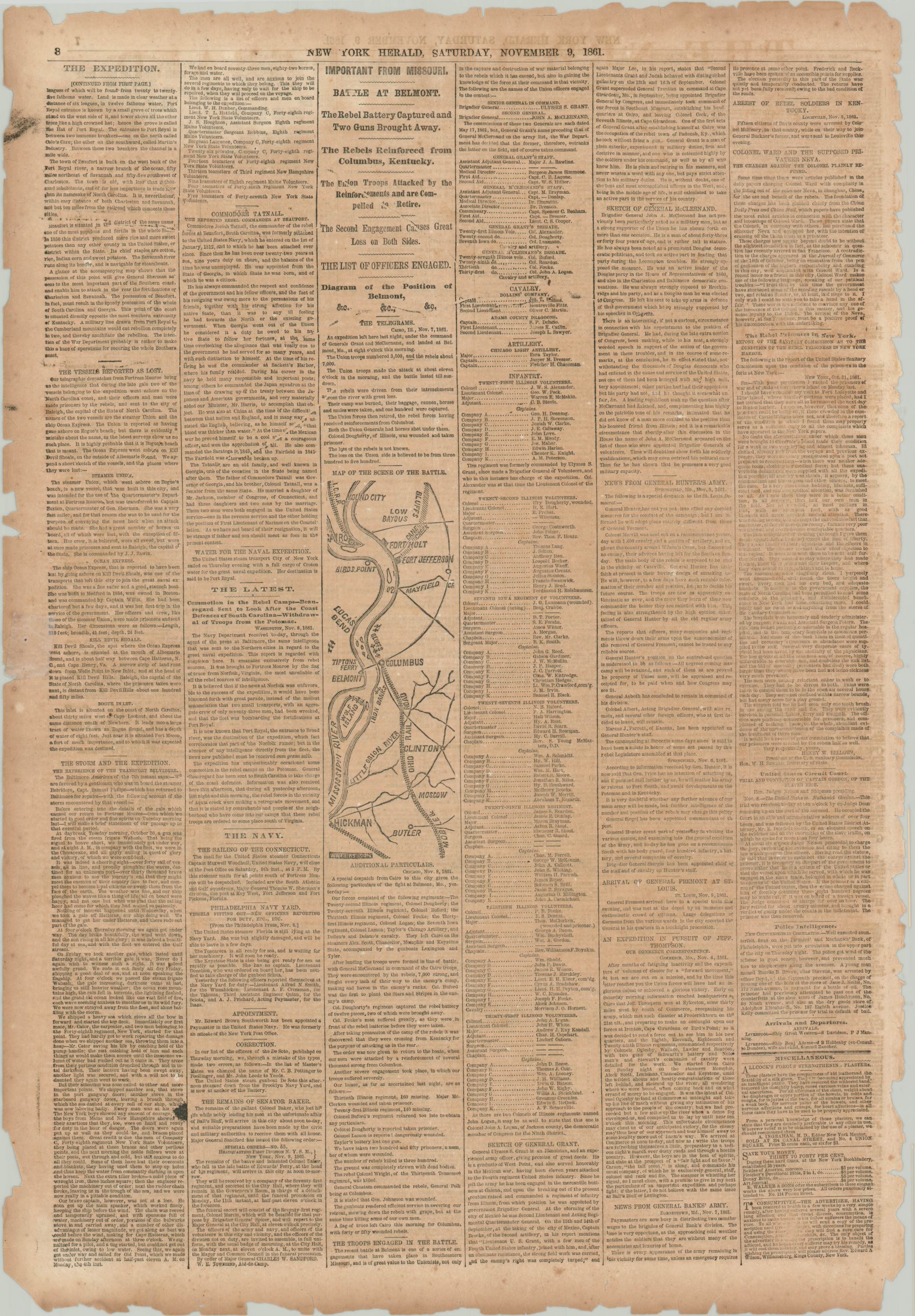
The final page of the newspaper shows a small map of the banks of the Mississippi River to illustrate some of the first dispatches from the Battle of Belmont. Fought two days prior to publication, the engagement was notable for being one of the first combat actions of (then) Brigadier General Ulysses S. Grant.
Map Details
Publication Date: 1861
Author: The New York Herald
Sheet Width (in): 15.25
Sheet Height (in): 22.25
Condition: B
Condition Description: Complete issue of the November 9, 1861 edition of the New York Herald. Moderately toned from age, with heavy edge wear and tearing and faint scattered spotting throughout. Creasing along horizontal fold line.
$75.00
1 in stock