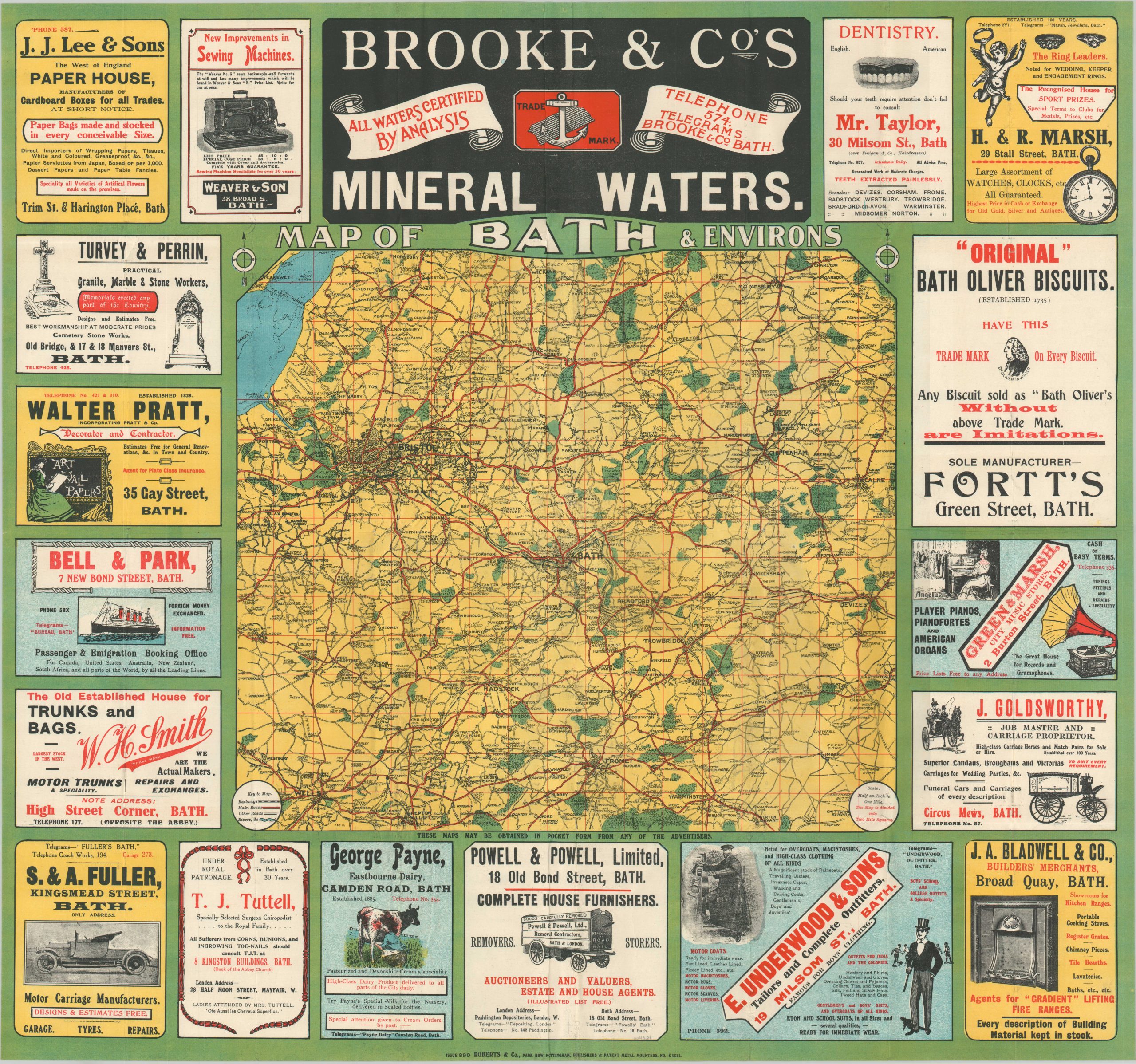
Map of Bath & Environs
$225.00
Beautiful map of the area around Bath from the early 20th century.
1 in stock
Description
This vibrantly lithographed pocket map of Bath and the surrounding region was published around 1912 in Nottingham by Roberts & Company. A primary image, replicated largely from Ordnance Surveys, shows the railways, main roads, rivers, and forests in an area encompassing approximately 900 square miles.
Surrounding the map are eighteen incredible contemporary advertisements for a variety of firms and services. Examples include medical care by T.J. Tuttle, Chiropodist to the Royal Family, and the “Original” Bath Oliver Biscuits, identifiable by their distinctive trademark. The colorful text and images provide a fascinating snapshot into the world of English consumerism on the brink of World War I.
Map Details
Publication Date: c. 1912
Author: Roberts & Company
Sheet Width (in): 28.6
Sheet Height (in):
Condition: A
Condition Description: Pocket map folded into 32 panels and affixed to original stiff paper wraps. Creasing and minor wear along fold lines, including small holes at fold intersections, but in very good to near fine condition overall.
$225.00
1 in stock


