Map of Anytown [with] the Knights of Anytown Leader’s Manual
Christian allegory for children’s education during the early 1920s.
Out of stock
Description
Anytown, U.S.A. is a fictional city first conceptualized and designed in Bennington, Vermont by Jeanette Eloise Perkins in the early 1920s. A physical model of the town was constructed, upon which extensive lore was created and promoted by Perkins and others. The Knights of Anytown was a set of accompanying moralizing short stories about the lives of various children in the town, intended for use in Protestant religious education (probably Baptist).
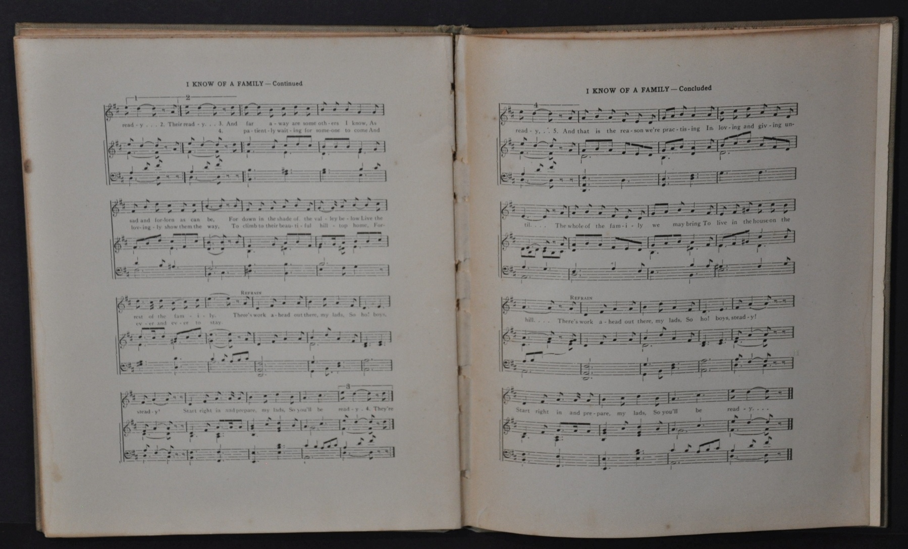
Though the stories were published separately, this rarer supplemental volume, the Leader’s Manual, provides additional activities related to the world of Anytown. Its 60+ pages include songs, paper dolls, program instructions, and more. According to the forward;
“Although the tales are fanciful, children will see in the denizens of Good Neighborhood Street real boys and girls who reflet their own experiences. In the Neighborhood Angel and his mission the leader will help them to recognize the spirit of love which hovers over God’s children everywhere, ready at their call to strengthen them against temptations, and aid them in controlling themselves, to the end that their homes may be happier, their neighborhood more desirable, and their community pure.”
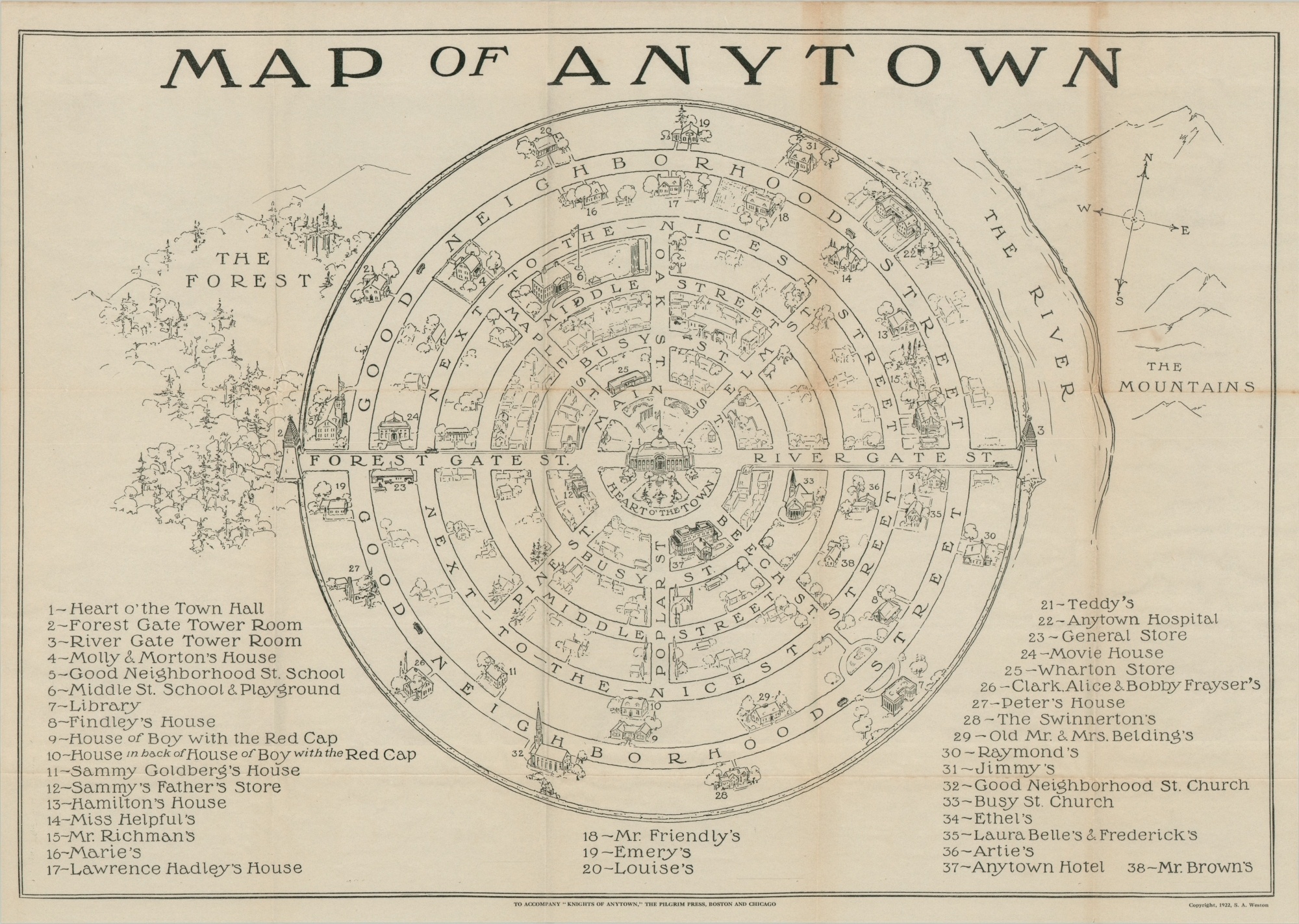
Accompanying the book is a large folding chart showing a Map of Anytown, based on the original model. The capital, located in the Heart O’ the Town, is connected to concentric streets like the spokes of a wheel. Numerous other buildings are individually illustrated, numbered, and identified at the bottom of the page. The town is surrounded by vague concepts of nature, with The Forest to the West and The Mountains over the River to the East.
The map was designed in 1922 by Sydney Weston and included in the Leader’s Manual of the Knights of Anytown. The volume was published in Boston by the Pilgrim’s Press, the oldest publishing house in North America. It was printed by The Jordan and More Press and distributed by the Judson Press, “New England’s busiest church supply house.”
Map Details
Publication Date: 1923
Author: Sidney A. Weston
Sheet Width (in): See Description
Sheet Height (in): See Description
Condition: A-
Condition Description: 66 pp. book bound in gray cloth covered boards. Distributors rubberstamp on the front endpaper. Covers are slightly spotted and the spine is broken, but contents are complete and remain affixed to the binding. Generally in good to very good condition, with toning, creased corners, and a bit of light soiling consistent with age. Includes fold-out map, though the back envelope is torn. The sheet measures approximately 22.75" x 16.25" and is creased and moderately toned along fold lines.
Out of stock


