
Map for the Rhine-Trip by Steamer
A 5 1/2 ft. long souvenir strip map of the Rhine River.
Out of stock

Description
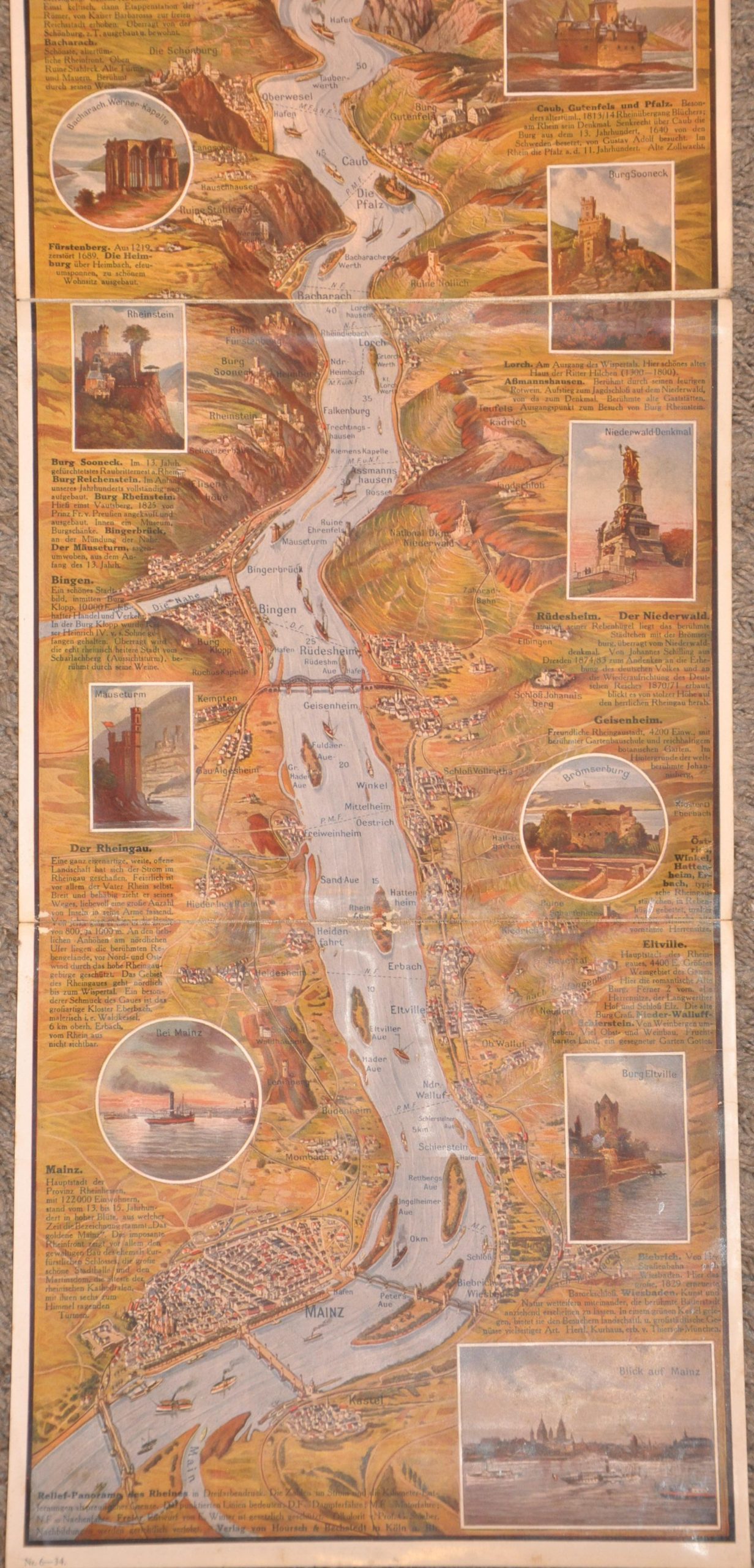
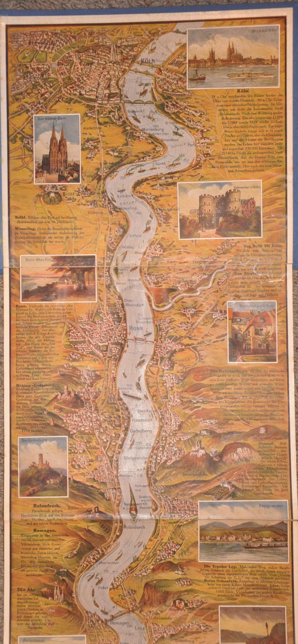
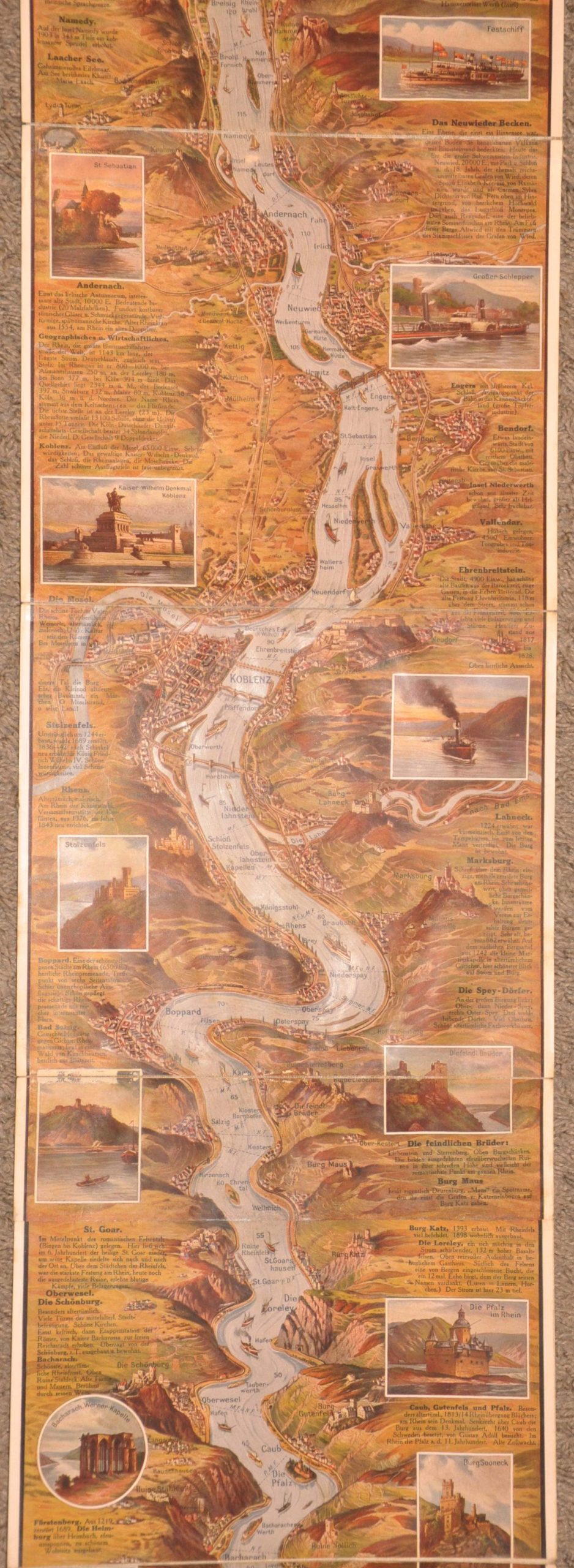
This lavishly illustrated map captures the course of the Rhine River as it meanders between Cologne (top) and Mainz (bottom). The stylized landscape is punctuated by numerous vignettes that faithfully replicate major attractions, scenic views, and historic architecture. A delightful variety of resort towns, isolated estates, ruined castles, and soaring cathedrals have made the river cruise a popular feature of the Grand Tour for several centuries.
The map was originally illustrated by Emil Winter and published in Cologne by Hoursch & Bechstedt. A printer’s code in the bottom left indicates the date as 1934, just before Hitler’s reindustrialization of the Rhine Valley. It appears the original 1934 work was repurposed in the postwar tourist world. This example has been reinforced with linen strips and affixed into mid-century English-language covers, indicating it was distributed by the Cologne-Düsseldorf Rhine Steamship Company.
Map Details
Publication Date: c. 1934
Author: Emil Winter
Sheet Width (in): 9.75
Sheet Height (in): 68.50
Condition: B+
Condition Description: A somewhat unusual piece in which a c. 1930s strip map has been affixed to a later (c. 1950s?) binding, for distribution as a souvenir. Strips of linen affixed to the verso of each segment allow for easy folding (another sign of customization), but there is an obvious seam and some light wear/minor image loss as a result. Some light waviness and minor edge wear. Good condition overall.
Out of stock