Map and Guide of Halifax City
$350.00
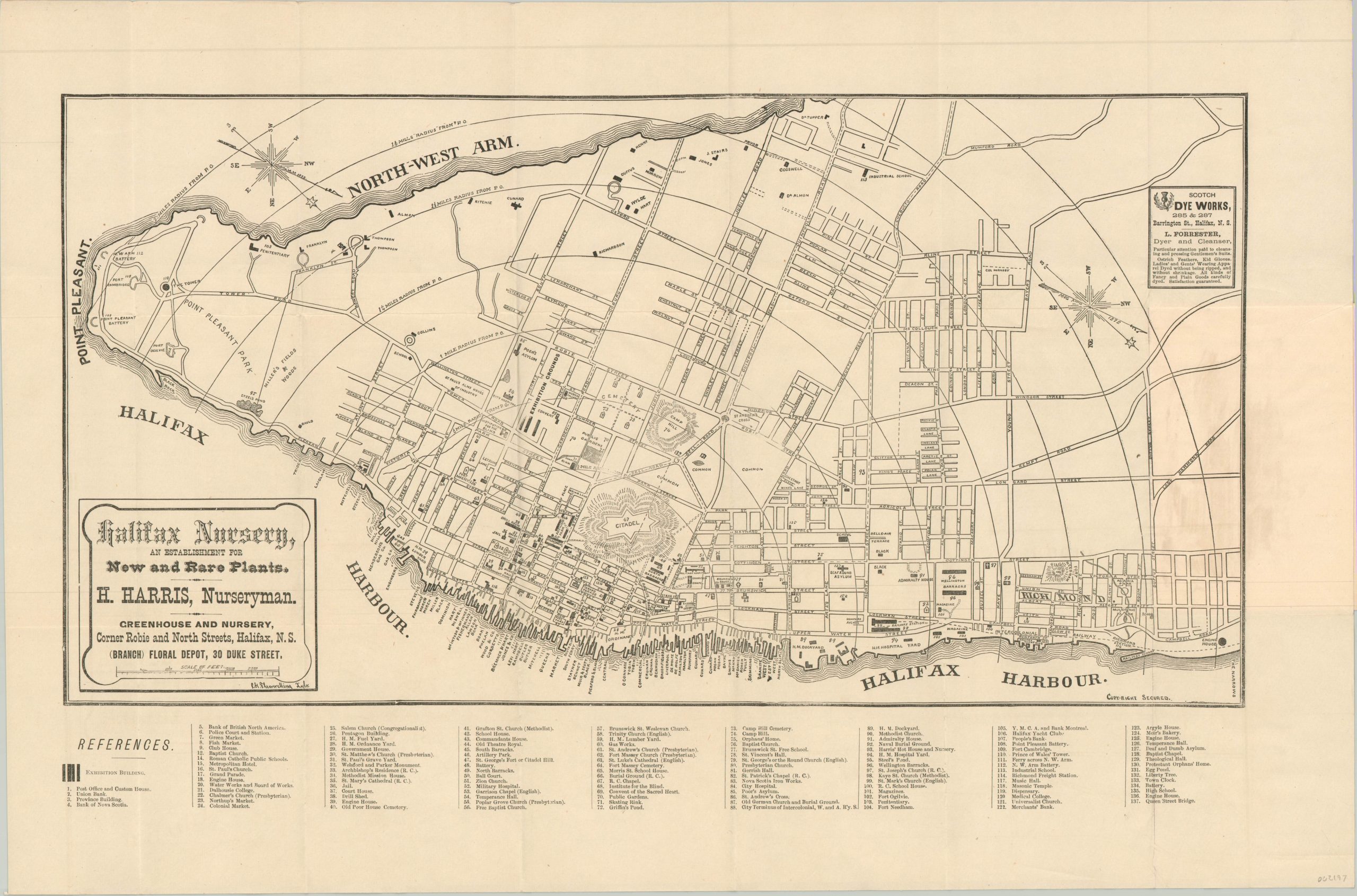
Tremendous late 19th century pocket map of Halifax, Nova Scotia.
1 in stock
Description
This magnificent city plan of Halifax was published locally by Charles Alpine, an advertising agent, and printed by William Mcnab in the first half of the 1880’s. The clearly legible street grid is supplemented by quarter mile concentric circles which highlight the compactness of the peninsula. A compass rose in the upper right indicates that the map is oriented with southwest at the top.
Over 130 different locations are numbered within the image, corresponding to a list immediately below. Exhibition buildings are also noted in the references, perhaps alluding to the Dominion Exhibition held in Halifax in 1881. Advertisements for a local nursery and dye works can also be seen within the borders.
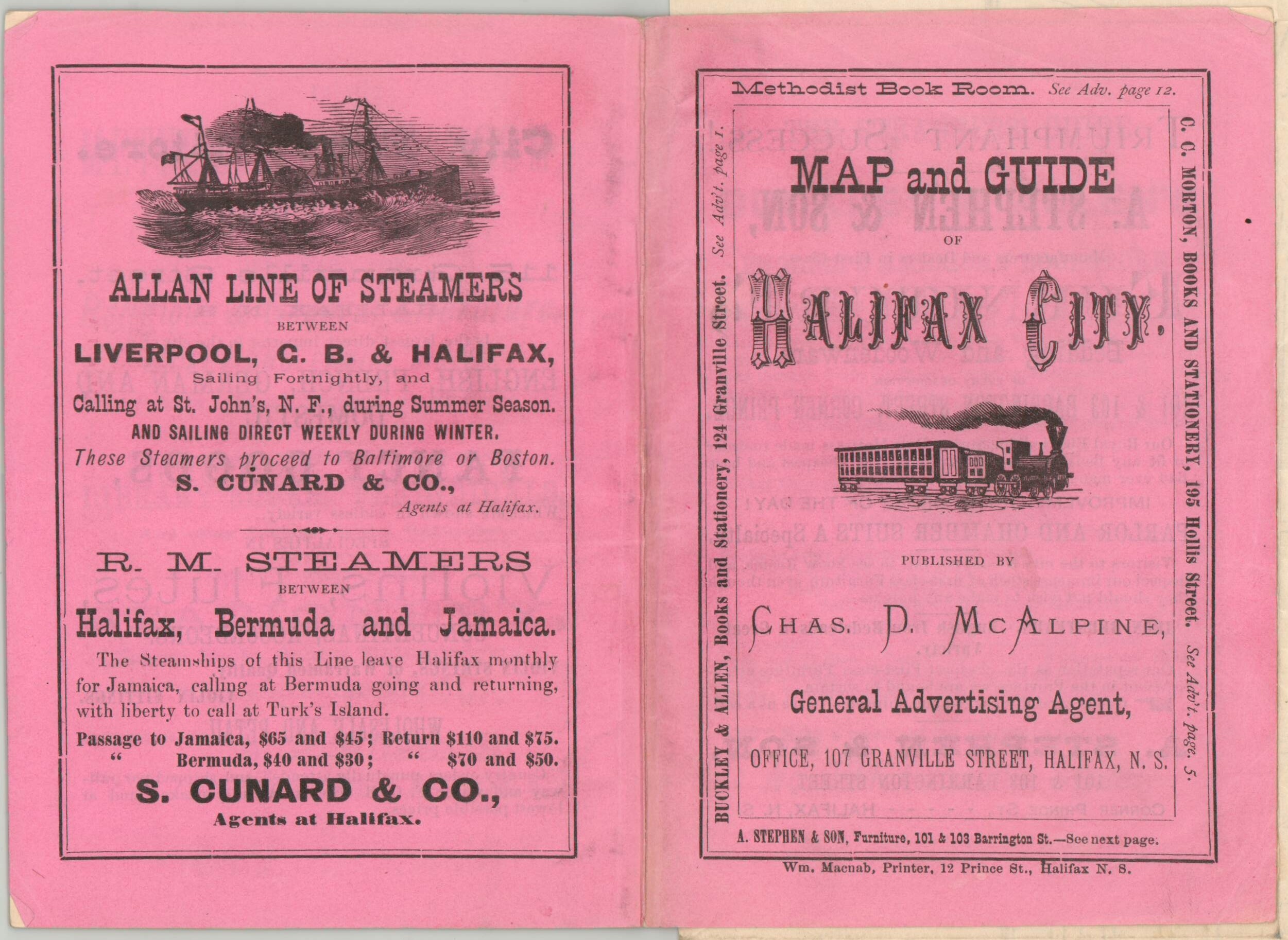
The accompanying 12 page guide to the city includes numerous additional contemporary advertisements. Hardware merchants, machinists, stationers and purveyors of fancy goods are all promoted. The pamphlet also includes an extensive text description of the surrounding geography, notably the world-class harbor, as well as a table of rates for hackney carriages ($.15/per person for up to half a mile, or $.75/per hour for a one horse carriage).
Map Details
Publication Date: c. 1884
Author: Charles McAlpine
Sheet Width (in): 25.75
Sheet Height (in): 17.00
Condition: A
Condition Description: Pocket map issued folded into 21 segments, with light creasing and faint wear along the outer edges. 4' x 6" pink pictorial wrappers are slightly soiled, but overall very good. Contains 12 pages of text and contemporary letterpress advertising.
$350.00
1 in stock


