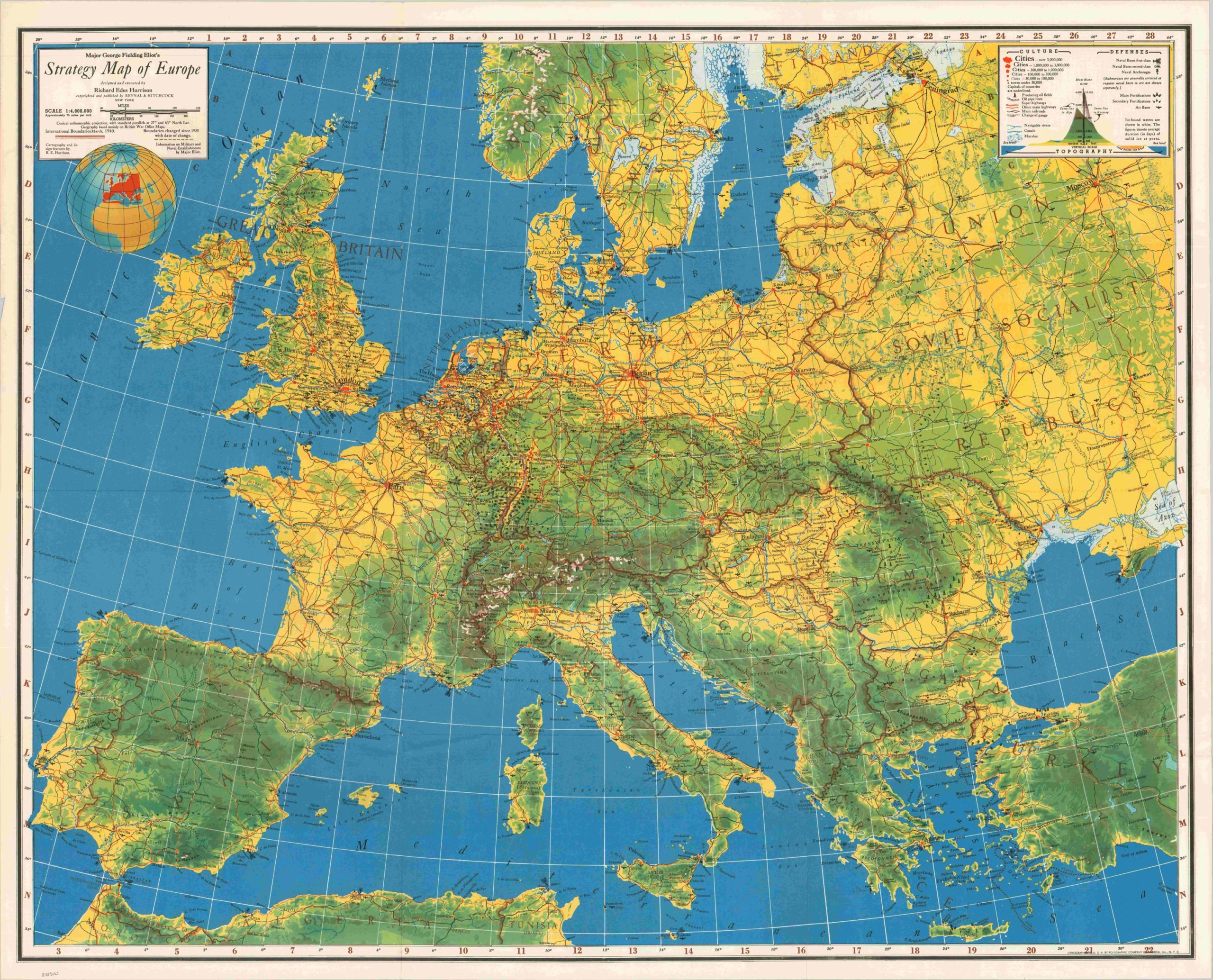
Major George Fielding Eliot’s Strategy Map of Europe
$65.00
Incredible detailed strategic overview of the European Theater near the end of the “Phoney War.”
Description
Following the German invasion of Poland in September 1939, there was an eight month period that saw relatively little action between the newly warring powers of Germany, the United Kingdom and France. During this period, known as the Phoney War or German “Sitzkrieg”, both sides contemplated strategy, marshaled forces, and engaged in economic warfare. This map, overseen by Major George Fielding Eliot and designed by Richard Edes Harrison, shows the European Theater near the end of this period of relative calm.
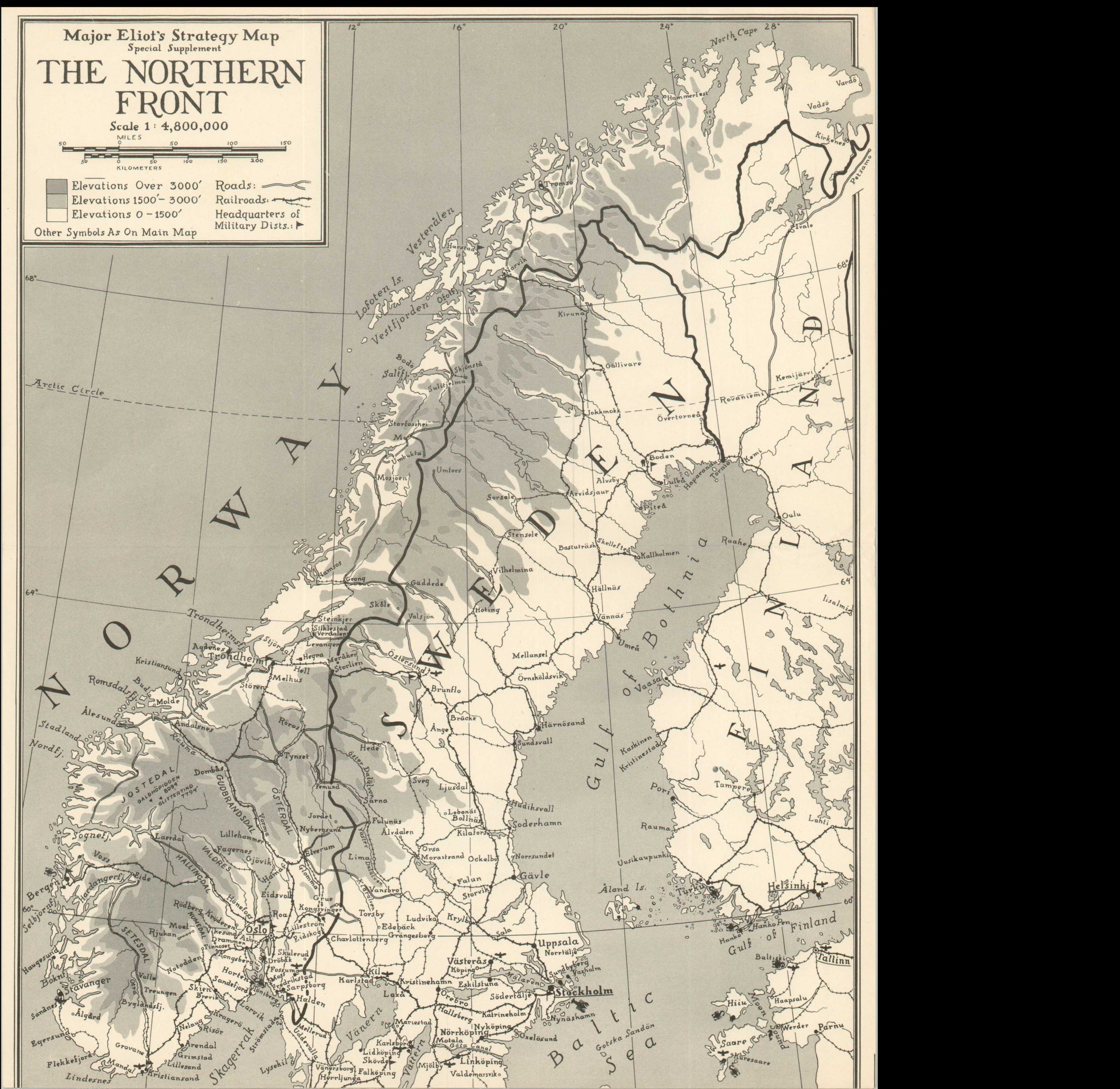
Topographical details, rather than political boundaries, are the main emphasis of the map, with additional war related information presented in the form of fortifications, military bases, railroads and oil fields. Eliot and Harrison were attempting to provide a comprehensive military overview for the armchair general, rather than the general public, and significant research went into the presentation of available data. This tremendous detail allowed the audience to speculate on strategic decisions alongside Churchill and de Gaulle – the best way to repel a German attack, keep Spain out of the war, possible support for the Baltic states, and the importance of preserving Gibraltar just to name a few. A supplemental sheet shows the Northern Front (Scandinavia), in which significant action had taken place during the Phoney War of the Western Front.
Major George Fielding Eliot was an officer in the Australian Army (though he was born in Brooklyn) in World War I, seeing action along the Somme, Arras, Amiens and at Gallipoli. He later returned to the United States and became an officer in the U.S. Army Reserve, and eventually a military analyst for CBS News during WWII. It was in this capacity that he provided information on the military and naval situation used by Richard Edes Harrison, the creator of the map. Harrison studied architecture at Yale, but left the field during the Great Depression to pursue design. He got his start at Fortune Magazine, where his unique visualizations eschewing traditional cartographic projections quickly became popular. Harrison designed dozen of maps during WWII for Fortune, Time, the State Department and the Office of Strategic Services. This is the only example we can find of a map designed by the pair – possibly because Germany’s rapid invasion of France in May 1940 made accurate information gathering impossible for regular updates.
Map Details
Publication Date: 1940
Author: Richard Edes Harrison
Sheet Width (in): 32.25
Sheet Height (in): 26.25
Condition: A
Condition Description: Fold lines as issued, otherwise very fine.
$65.00


