Lyon’s Standard Hennepin County Road Map
$325.00
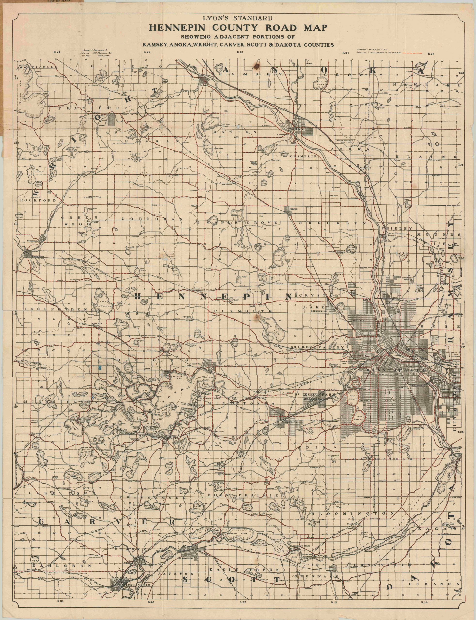
Rare pocket map of Hennepin County, Minnesota from the second decade of the 1900’s.
1 in stock
Description
This detailed road map of Hennepin County, Minnesota was drawn by H.A. Lyon and published by the Minnesota Map Publishing Company in 1911. ‘Selected roads’ (like improved with gravel or macadam) are highlighted with hashed red lines, while secondary roads and railroads (both steam and electric interurbans) are depicted with black.
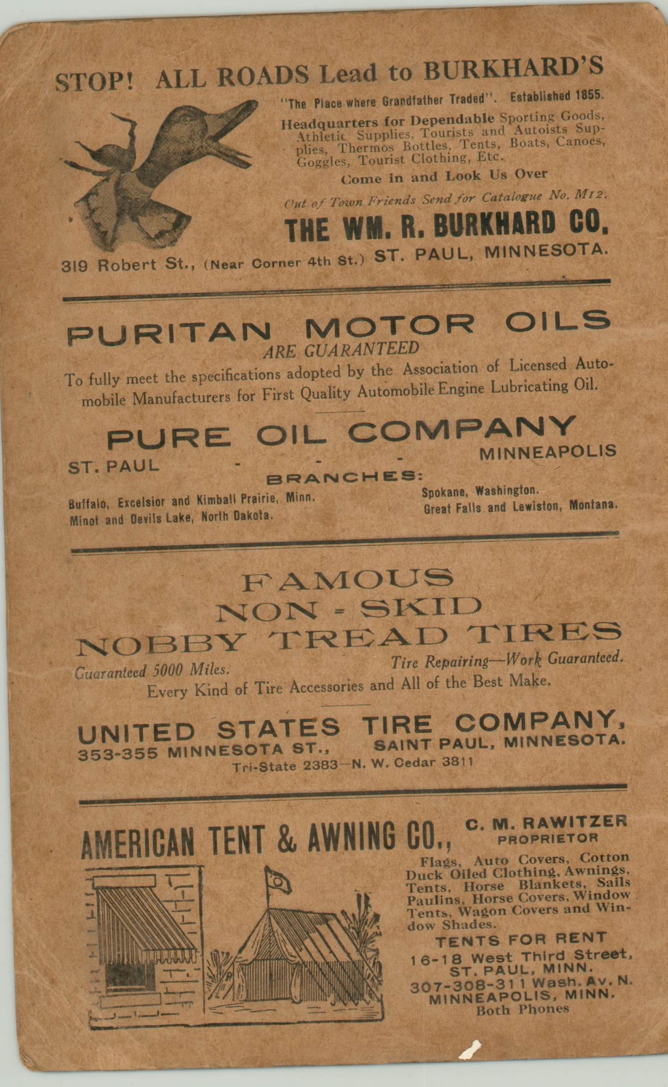
Geographic features and locals of interest, like the Minneapolis Automobile Club, are individually labeled throughout. Original brown paper covers include a variety of fascinating contemporary advertisements.
Rare, with only one copy in WorldCat at the Minnesota Historical Society Library.
Map Details
Publication Date: 1911
Author: H.A. Lyon
Sheet Width (in): 23.25
Sheet Height (in): 30.40
Condition: B+
Condition Description: Folding pocket map on a very fragile sheet. Many sections of separation and fold intersections have been repaired and reinforced on the verso with archival tape. Minor image loss in a few locations at the seams as a result. Several small edge tears persist and there are a few spots of discoloration within the image. Despite the defects, the image is intact and in good condition, given its use and scarcity.
$325.00
1 in stock


