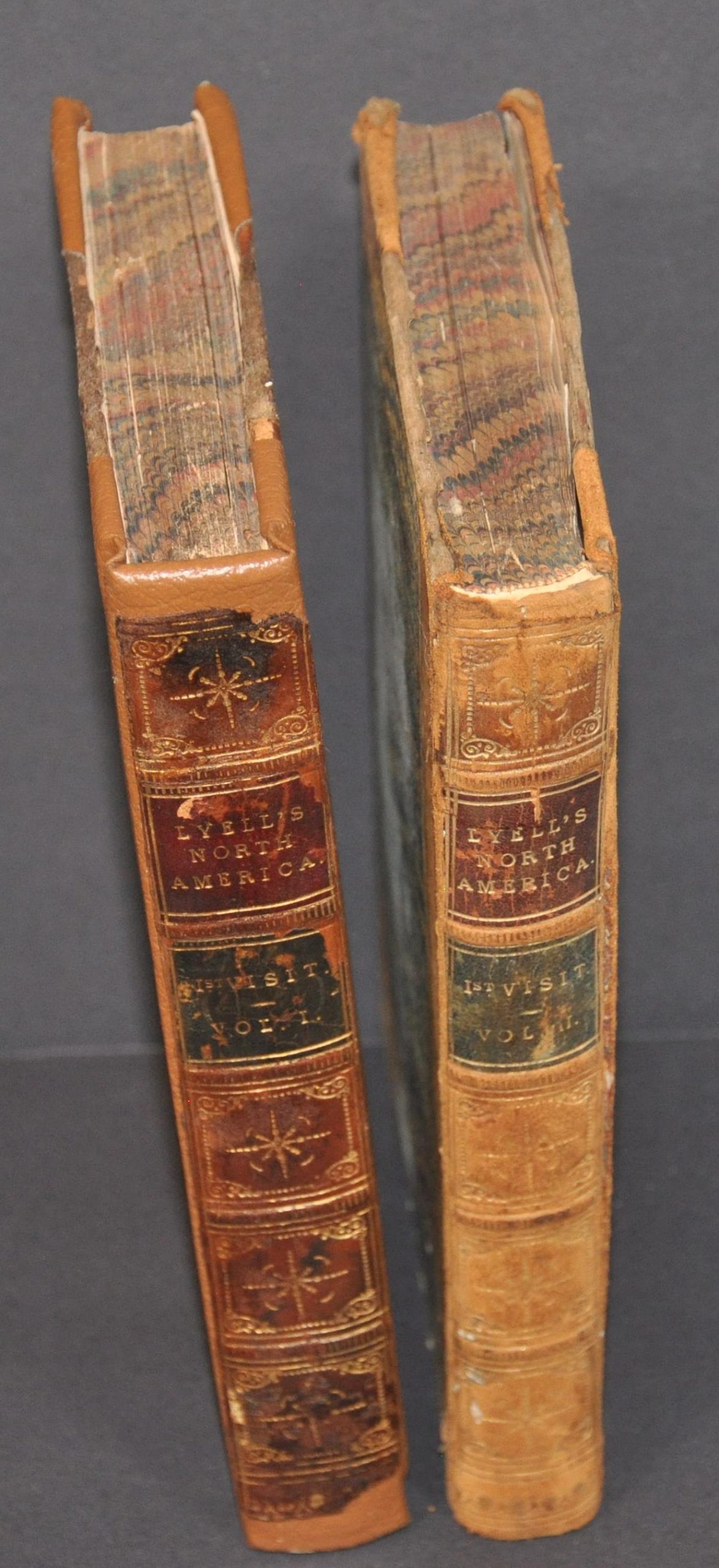
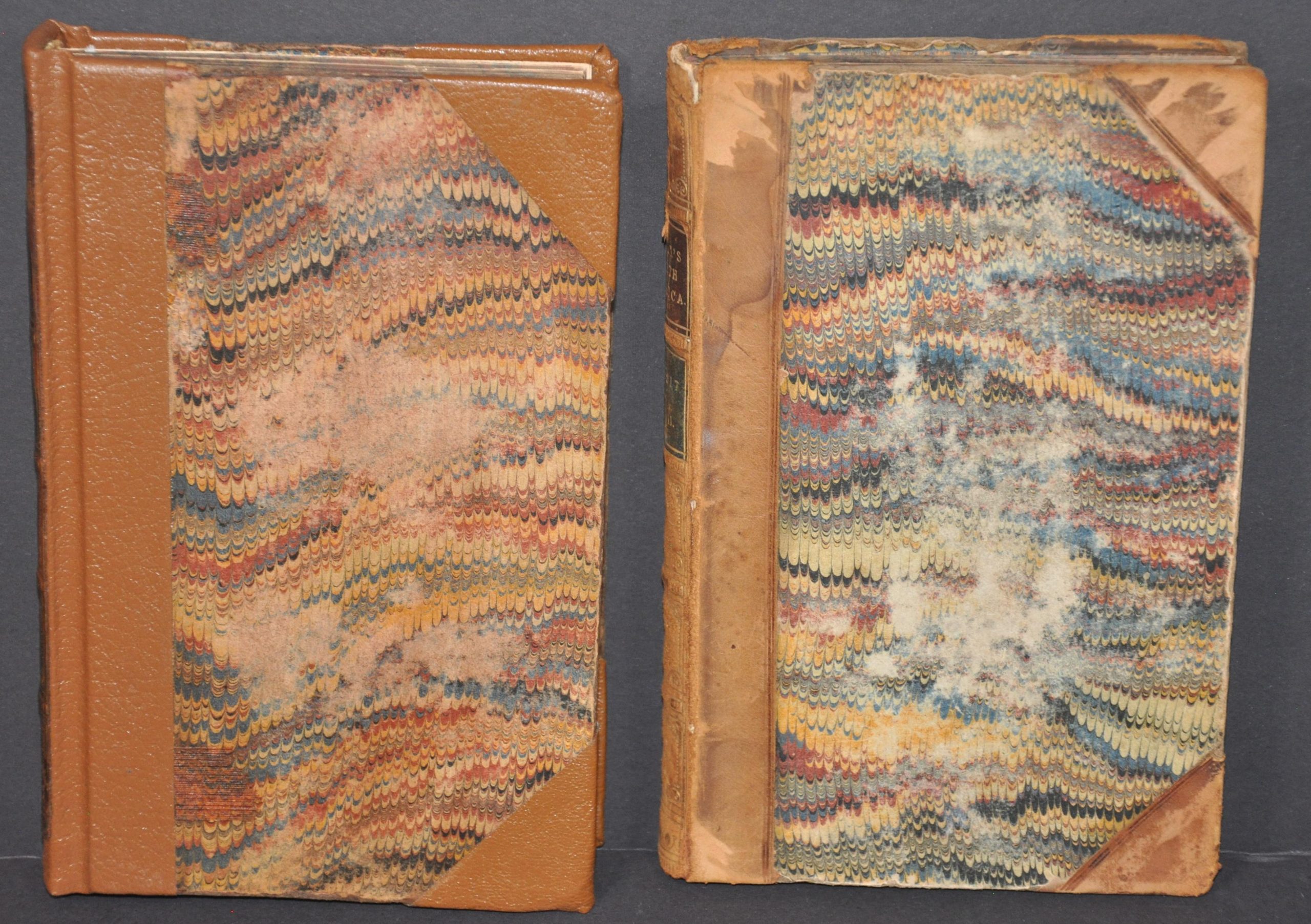
Lyell’s Travels in North America, Canada and Nova Scotia [with] Geological Map of the United States, Canada &c.
$695.00
The second edition of Lyell’s groundbreaking geological observations in North America.
1 in stock
Description
This important mid-19th century map of the United States shows an early geologic overview of the rapidly expanding nation. Vibrant colors identify twenty separate types of minerals and geologic features as they are spread across the landscape. The map was originally issued in 1845 and thus shows the Republic of Texas (in addition to the Northwest Territory), but this particular example was included in the1855 (second) edition of Charles Lyell’s Travels in North America (the image remains the same).
The two-volume set was published in London by John Murray and extends the hypotheses that Lyell outlined in his more famous Principles of Geology (1830-1833). Namely, he expanded on James Hutton’s idea of uniformitarianism – that natural laws apply uniformly across long periods of time and geologic change occurs slowly, rather than in short, catastrophic events – using data he collected during his travels in North America.
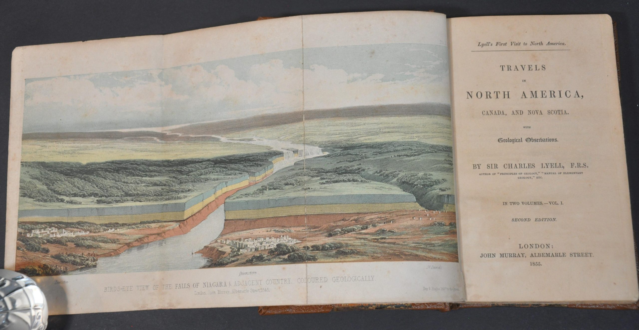
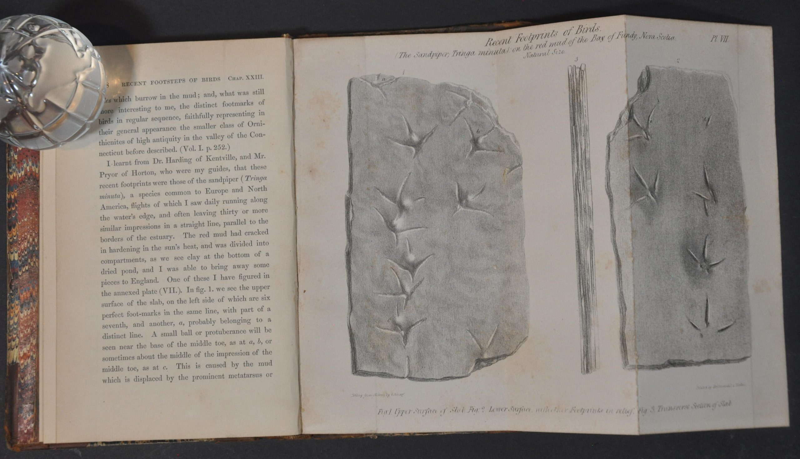
A folding color plate of Niagara Falls highlights the various geologic strata, a key component in his arguments. In addition to interesting scientific observations, the author also includes commentary on contemporary social and political issues like education, economics, and race.
Lyell was one of a number of influential scientists (Charles Darwin being another) that completely revolutionized scientific thought during the Victorian Era. Religious traditions were slowly replaced by empirical data collected using repeatable observations. Lyell’s research across Great Britain during the 1830s eventually resulted in a fundamental shift in the understanding of the age of the Earth. Rather than thousands, the planet was tens of millions of years old, as evidenced by the variations in composition and content of the geographic strata he examined.
Sources: Howes #L575; Sabin #42761; University of Illinois
Map Details
Publication Date: 1855
Author: Charles Lyell
Sheet Width (in): 20.5
Sheet Height (in): 16.25
Condition: B
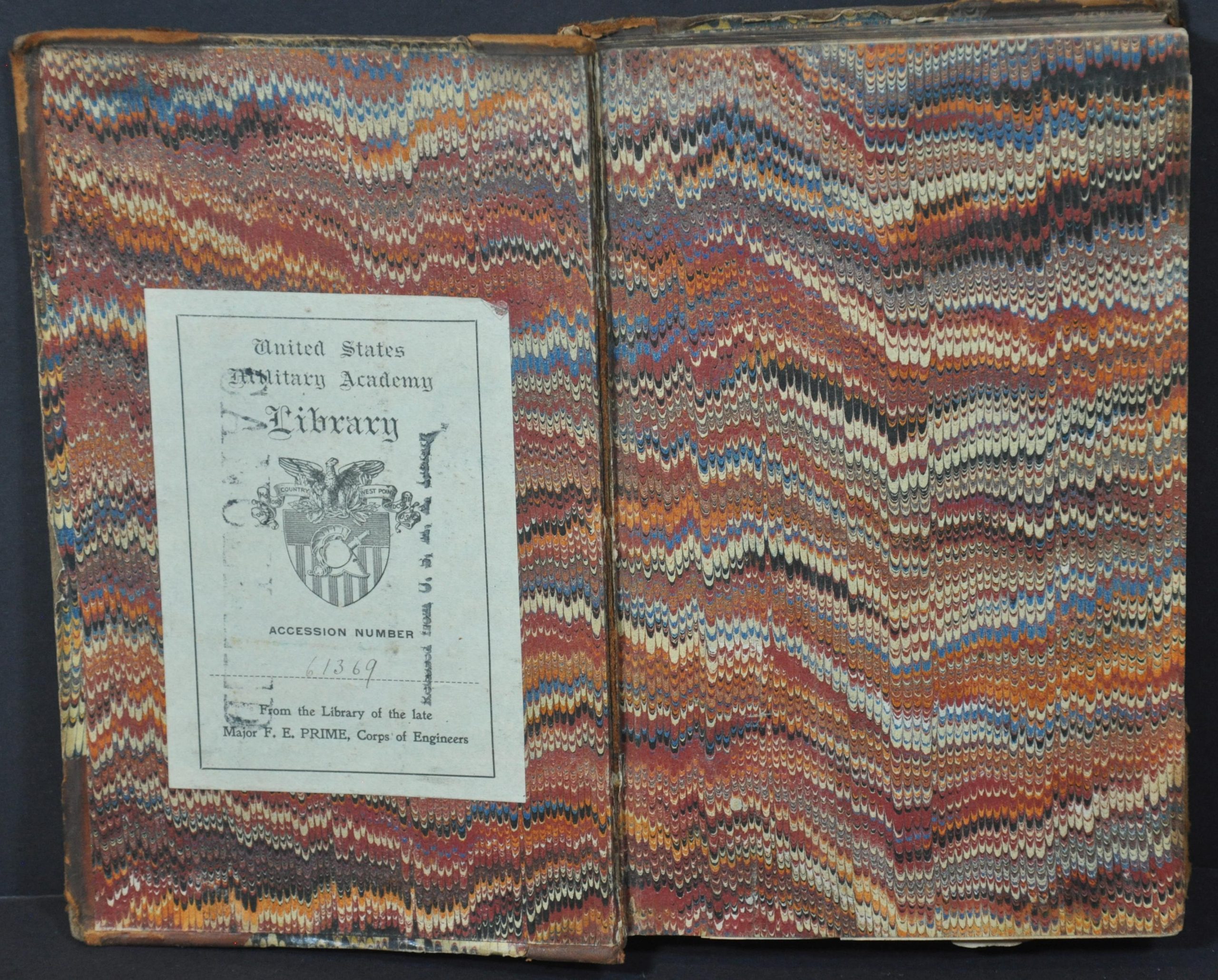
Condition Description: Complete two-volume set of the second edition of Lyell's Travels in North America, bound in original brown quarter leather with marbled boards and decorative embossed spines. Ex-library from the United States Military Academy, with bookplate stamped 'cancelled' on the first volume. Volume I is 316 pp. with plates (3 fold-out), all in good condition though spotted and slightly worn. Volume II, 272 pp., includes the large folding map inserted opposite the title page. It shows a 3" diagonal tear where bound and moderate offsetting throughout. The two other plates are also present and in good condition. An attractive set with some minor issues that could be addressed with proper conservation.
$695.00
1 in stock


