
Lusatia Superior
$250.00
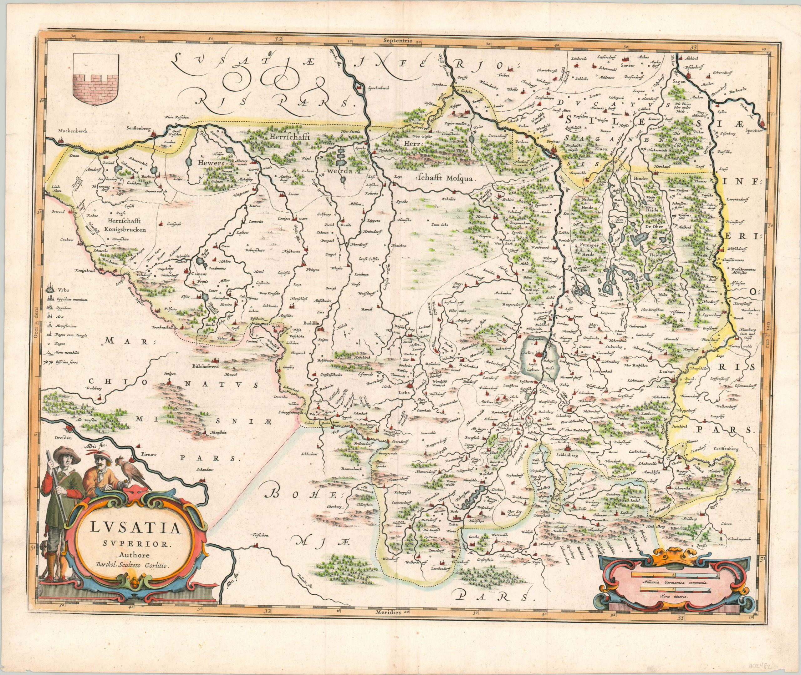
Handsome map of the historical province of Silesia, published by the Blaeu family of cartographers.
1 in stock
Description
This detailed copperplate engraved map shows the important historical region in Central Europe known as Lusatia. Today, the area is split between Poland and Germany, but around the time of publication it was a part of the Hapsburg Empire and an important battleground in the ongoing Thirty Years’ War.
The image includes a number of castles, identified according to the legend on the left side of the page. This key also shows the symbols for a variety of settlement types, religious locations, and iron workshops. A
decorative cartouche in the lower left shows upper-class figures clad in contemporary dress showcasing two popular (and expensive) hunting methods – hawking and the musket.
Map Details
Publication Date: c. 1635
Author: Willem Janszoon Blaeu
Sheet Width (in): 21.75
Sheet Height (in):
Condition: A-
Condition Description: Light creasing and faint wear along the vertical centerfold, and a few small spots in the margins. Several small tears along the outer edges, the largest have been repaired on the verso. Very good overall, with attractive hand color.
$250.00
1 in stock