
Lublin N.E. 50/22
$95.00
WWII plan of the southeastern Poland, including several of Germany’s worst extermination camps
1 in stock
Description
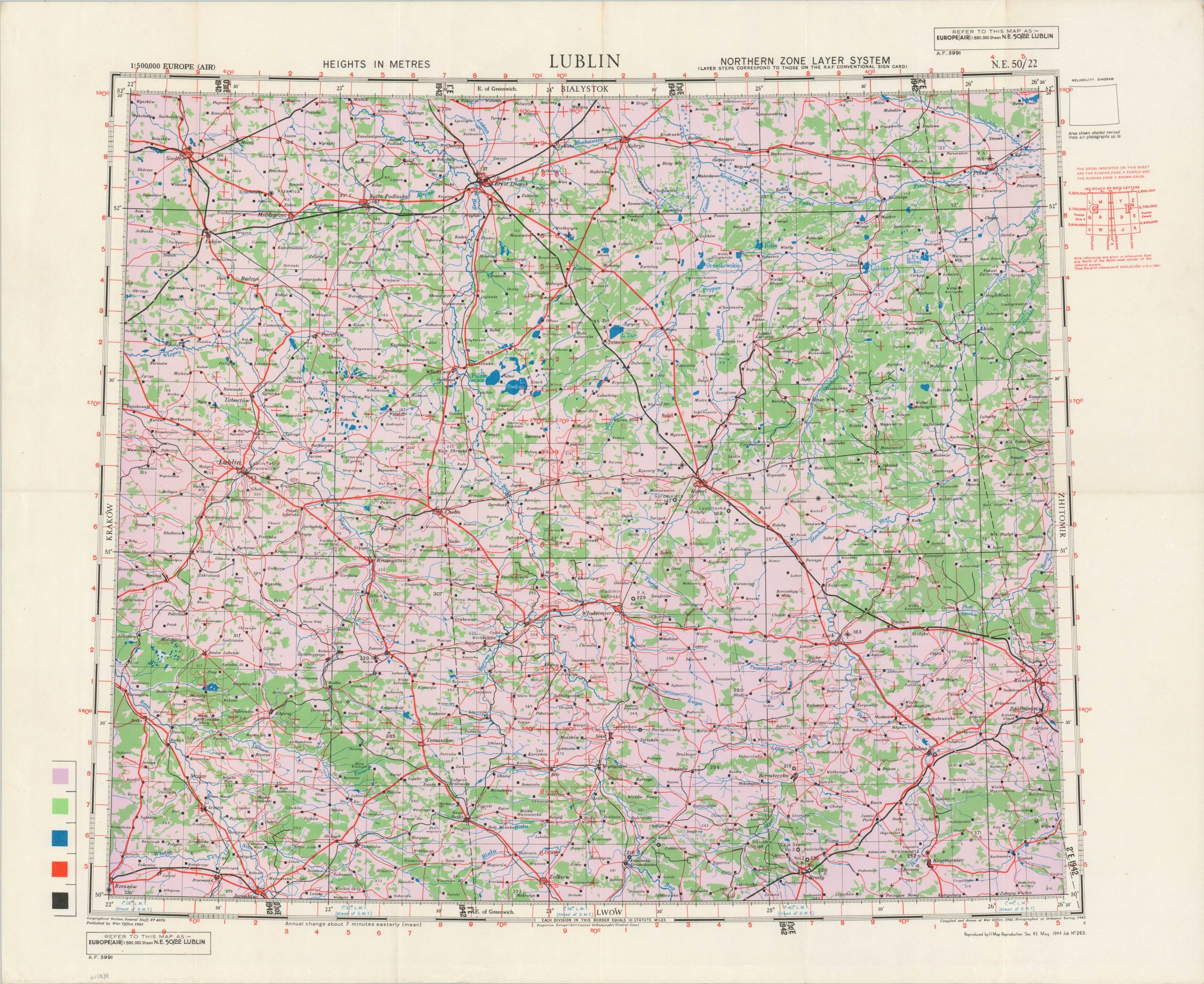
This British military map covers a large area in of Occupied Poland and the western Soviet Union (then under German control). Issued at a scale of 1:250,000, the image offers a strategic overview region, which included many of the Nazi’s most notorious death camps; including Belzic, Majdanek, and Sobibor. The transportation network of roads, paths, and railroads is emphasized.
Compiled by the Geographical Section, General Staff and published by II Map Reproduction Section R.E. in May 1944. Red overprinting indicates it likely was intended for use by the RAF. A chilling fact is that the region was almost entirely cleared of Jewish inhabitants by the time the map was printed. Approximately 99% of the Jews from the Lublin District in the General Governorate of German-occupied Poland were murdered in the three extermination camps. https://encyclopedia.ushmm.org/content/en/article/lublin-majdanek-concentration-camp-conditions For further information on military map of the Second World War, check out the UK National Archives.
Map Details
Publication Date: 1944
Author: Geographical Section, General Staff
Sheet Width (in): 30.5
Sheet Height (in): 24.9
Condition: A
Condition Description: Creasing, light wear, and faint soiling along old folds. Very good condition overall.
$95.00
1 in stock