Los Angeles and Vicinity Freeway and Artery Map
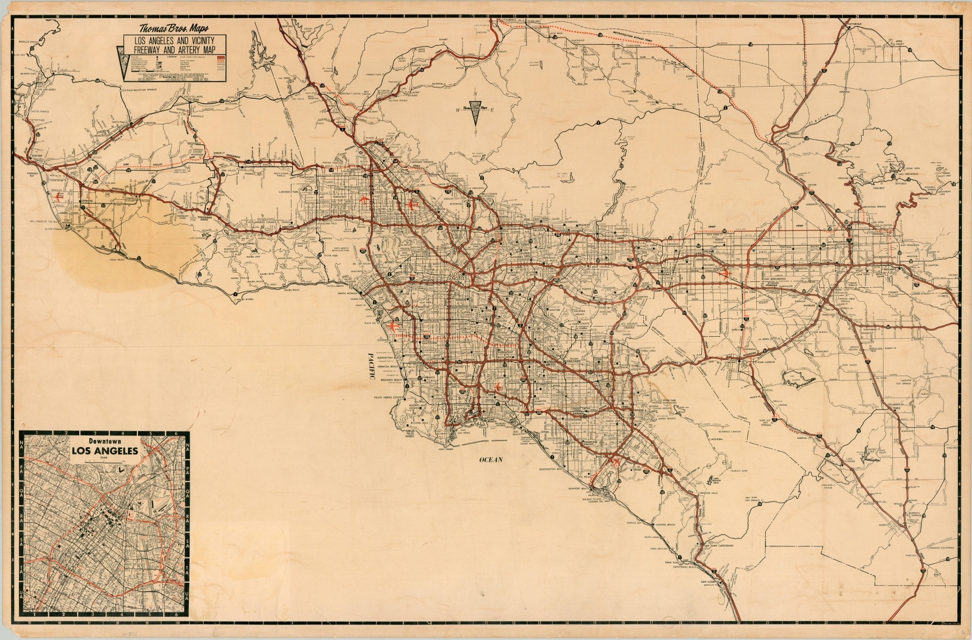
Los Angeles freeways near the end of their frenetic construction.
Out of stock
Description
The economic and population booms brought on by World War II greatly encouraged the need for an updated network of roads across Southern California. Plans were made as early as the late 1930’s, promoted by the influential Automobile Club of Southern California, but it wasn’t until the 1950’s that construction of the Interstate Highway System began across the country in earnest.
This map shows the system of freeways and highways almost a decade later, and closely mimics the pattern seen on modern road maps of the region. Proposed routes are shown in dotted lines and help date the publication to around 1968, based on the status of I-105. An inset map in the lower left shows further details on downtown Los Angeles.
Published in Los Angeles by Thomas Brothers Maps.
Map Details
Publication Date: c. 1968
Author: Thomas Brothers
Sheet Width (in): 37.75
Sheet Height (in): 24.75
Condition: B
Condition Description: Heavy wear and minor paper loss in each of the corners, with the bottom right corner having separated entirely and been reattached with archival tape. Printed on a paper with a waxy surface that shows moderation offsetting and discoloration scattered throughout, most evident in the lower corners. Several tears ranging from 1" to 3" along the outer edges have been repaired on the verso with archival tape. A light circular stain, about 5" in diameter, can be seen in the upper left.
Out of stock

