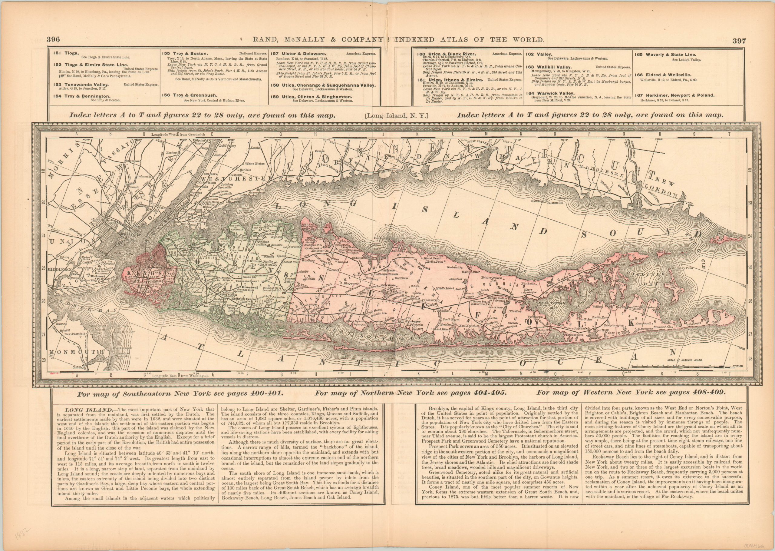
[Long Island, N.Y.]
$90.00
Map and accompanying description of Long Island, New York.
1 in stock
Description
This interesting map of Long Island and the adjacent shoreline of New York and Connecticut shows the popular and historic island in the late 19th century. A handful of rail lines can be seen in operation, with the easternmost extending to Greenport. Line concentrations are heavier further west, closer to New York City. The City of Brooklyn is labeled and represented with a basic street grid.
Text at the bottom of the sheet provides a brief history, geographic description, and political summary of the island. Published in Chicago by Rand McNally in 1882.
Map Details
Publication Date: 1882
Author: Rand McNally
Sheet Width (in): 21.00
Sheet Height (in):
Condition: A-
Condition Description: A bit of extraneous creasing and light wear along the vertical centerfold, including a 2" tear along the top that has been repaired on the verso. The sheet is slightly toned around the edges, consistent with age, and remains in very good condition.
$90.00
1 in stock

