
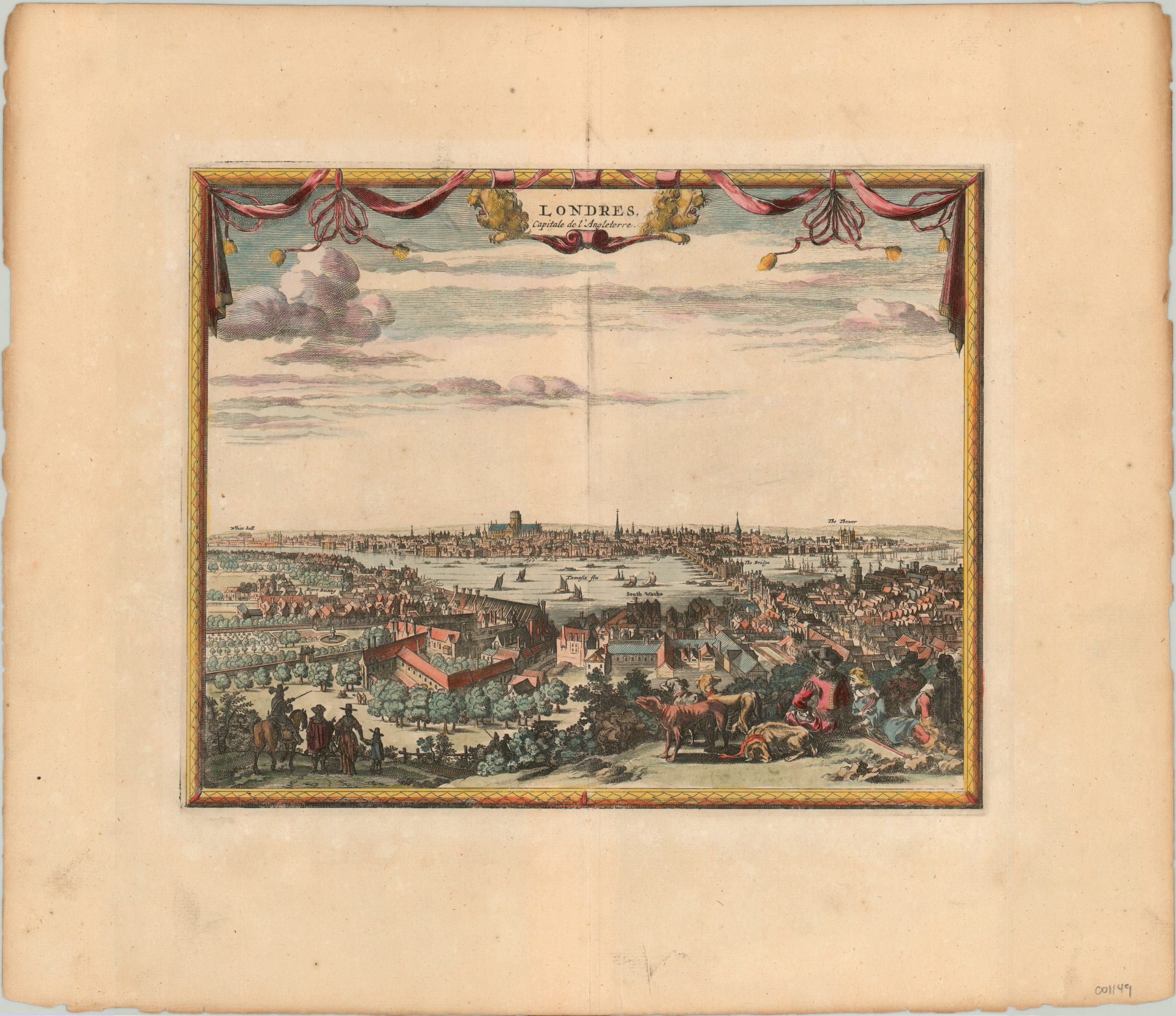
Londres, Capitale de L’Angleterre
A view of London as it appeared before the Great Fire.
Out of stock
Description
This panorama of London’s city center is viewed from the southern banks of the Thames looking north and is based on a monumental work by Wenceslas Hollar in 1647. It shows the British capital prior to the devastating fire that destroyed a significant portion in 1666.
Captions identify the Tower, London Bridge, White Hall, bear-baiting, and more. St. Paul’s is lacking its distinctive dome, pre-dating the design by Christopher Wren which replaced the structure gutted by the fire. Published in Leiden by Pieter Van der Aa in 1719.
Map Details
Publication Date: 1719
Author: Pieter van der Aa
Sheet Width (in): 15.5
Sheet Height (in): 13.25
Condition: A-
Condition Description: Faint toning to the sheet and minor discoloration along centerfold. A few smudges in the margins, but the image remains in near fine condition on a strong sheet.
Out of stock