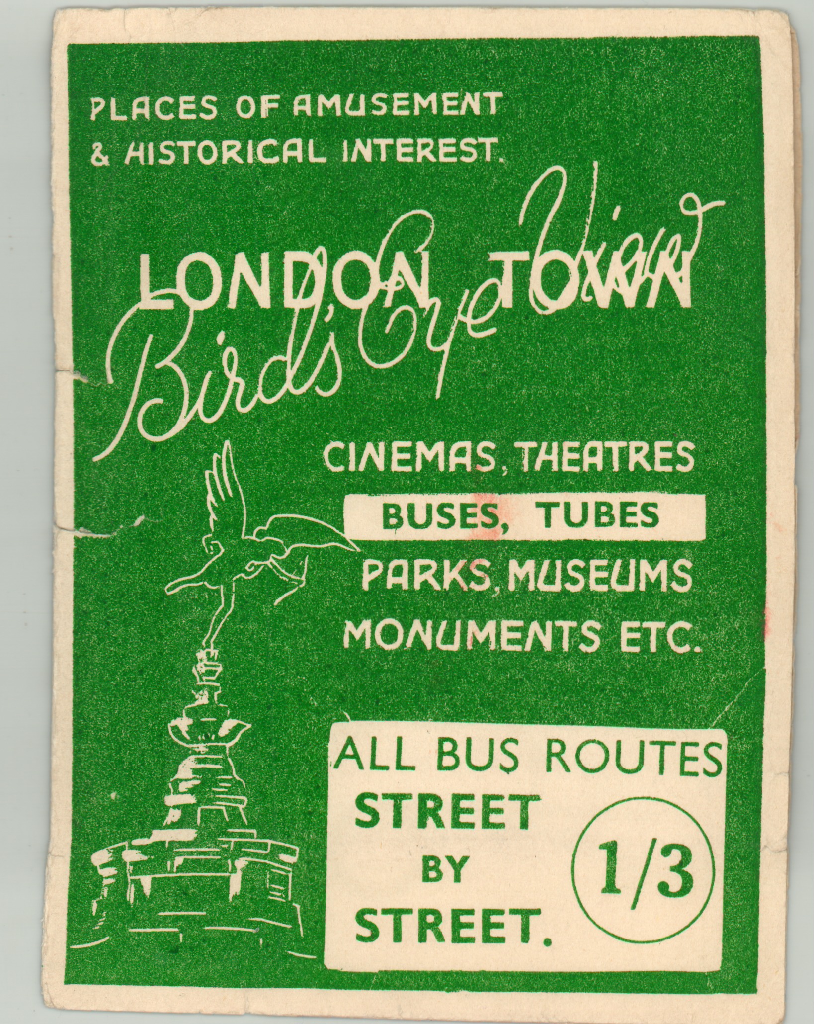
London Town Bird’s Eye View
$95.00
Scarce wartime transportation map of central London.
1 in stock
Description
Dated using the presence of Bank (renamed in 1940) and Enfield West/Queen’s Road stations (renamed in 1946), this folding map of central London was likely published during or immediately after WWII, when the city suffered tremendous damage at the hands of Luftwaffe bombers. Places of interest are highlighted in red, and several of the most prominent landmarks are individually illustrated. Underground stations, cinemas, and omnibus stations and routes are also noted. The lower right corner appears to contain the cartographer’s initials; J.W.B.
The verso features a comprehensive index of the available transportation network, cinemas, dance halls, theaters, and other locations of interest, while the inside of the front cover presents Harry Beck’s seminal map of the Underground. The back cover includes a suggested itinerary for a week in London – an odd inclusion for a wartime publication, to be sure. I was able to find no other copies in OCLC or elsewhere.
Map Details
Publication Date: c. 1945
Author: Printing-Craft Ltd.
Sheet Width (in): 19.75
Sheet Height (in): 14.80
Condition: A-
Condition Description: The map was originally issued folded in 15 panels and still has its original paper covers. Some creasing along the fold lines and a few small edge tears, but otherwise the map is in near fine condition. The covers are a bit more worn, with one 2" tear repaired with archival tape and a bit of separation at the folded paper spine. Overall very good, or better, condition.
$95.00
1 in stock


