
Lissabon und Seine Umgegend
$125.00
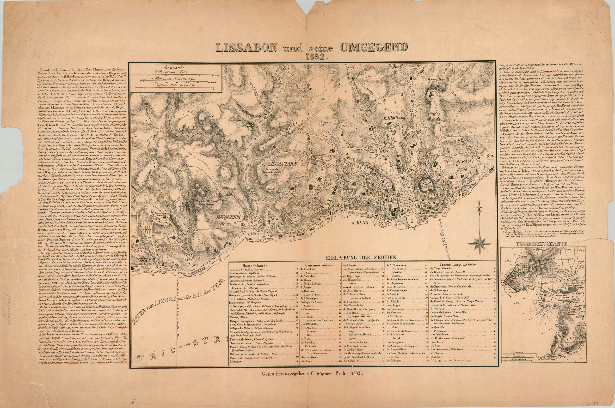
Detailed German plan of Lisbon, Portugal.
1 in stock
Description
This detailed city plan shows an aerial overview of the historic Portuguese capital city of Lisbon and surrounding area on the banks of the Tagus River.
An extensive legend identifies nearly 100 locations of interest in German, while long blogs of text flanking either side of the image provide an overview of the city’s history, organization, and culture. An inset in the lower right shows the location of Lisbon in relation to the nearby Atlantic Coast.
At the time this map was published (1832), the capital had been occupied as part of an ongoing war over the country’s royal succession.
Map Details
Publication Date: 1832
Author: C. Brugner
Sheet Width (in): 30.40
Sheet Height (in): 20.50
Condition: C
Condition Description: The paper is moderately toned and has several large chips in the outer margins, away from the image. Several large tears do enter the image, though they have been repaired on the verso with archival tape. Remains in fair to good condition, despite the flaws.
$125.00
1 in stock