
Les Souverainetez de Sedan et de Ravcourt
$150.00
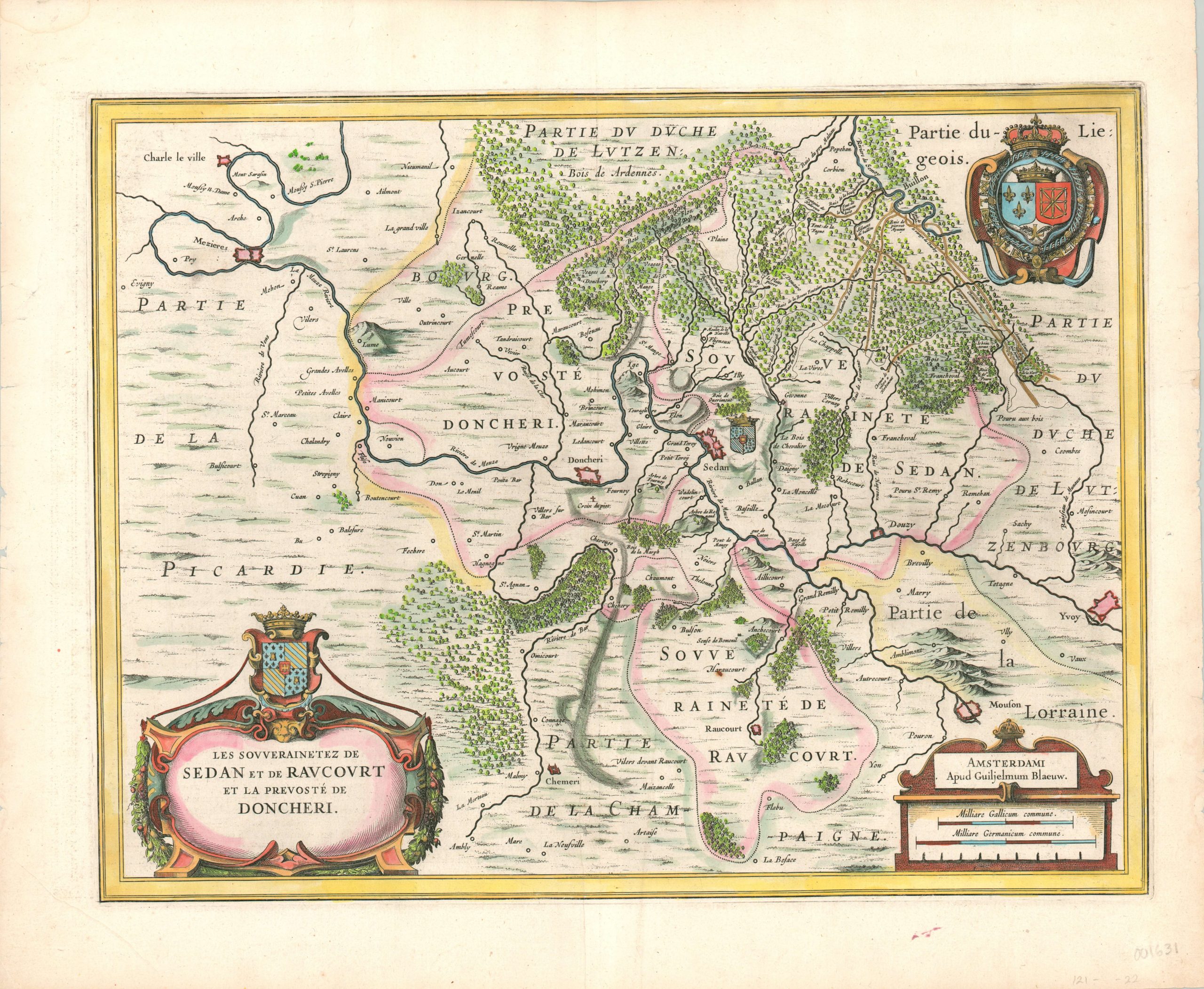
Beautiful 17th century map of the fortifications of Sedan and the surrounding area.
1 in stock
Description
Situated on the northeastern corner of France, near the border with Belgium, the commune of Sedan (along with the city of the same name) has long been an important strategic crossroads. The Franco-Prussian War and both World Wars saw significant action in the Sedan region, and the numerous fortifications on this map show that the military significance well preceded those conflicts.
Several of the roads serving the area are shown in the upper right, while the Meuse River can be seen bisecting the image horizontally. The coat of arms of the city of Sedan can be seen immediately next to it on the map, as well as above the decorative title cartouche. The royal coat of arms of the Kingdom of France are presented in the upper right.
Map Details
Publication Date: c. 1650
Author: Willem Janszoon Blaeu
Sheet Width (in): 22.40
Sheet Height (in): 18.50
Condition: A-
Condition Description: Several small tears along the outer edges and one small red ink stain in the lower margin, well away from the image. One small rust stain on the map, near Raucourt. A bit of soft creasing along the centerfold, but overall the map is in very good condition. Modern hand color.
$150.00
1 in stock