
Les Royaumes de Portugal et D’Algarve
$150.00
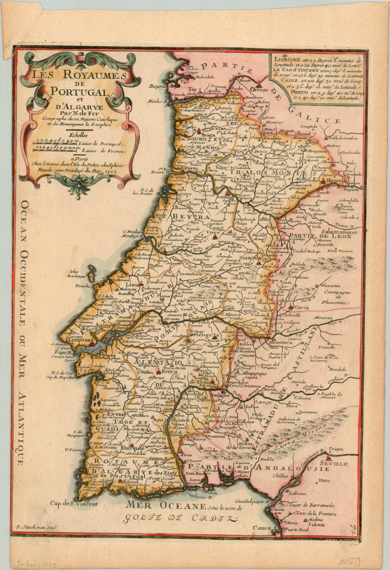
De Fer’s detailed map of Portugal from the early 18th century.
1 in stock
Description
This attractive copperplate engraved map shows the Kingdom of Portugal and Algarve (a region in the south) on the southwest tip of the Iberian Peninsula. Vibrant color, applied by hand, distinguishes the royal domains (yellow) from the territory of adjacent Spanish dominions (pink). Place names and geographic features are labeled throughout, with the largest cities and mountains identified by small pictorial elements.
The map was published in Paris in 1705 for inclusion in Nicholas de Fer’s Atlas Curieux.
Map Details
Publication Date: 1705
Author: Nicholas de Fer
Sheet Width (in): 10.50
Sheet Height (in): 15.6
Condition: A-
Condition Description: Trimmed left margin and a slightly toned sheet that shows a bit of discoloration from the plate's impression in the lower corners. A few scattered spots of spotting within the image. Good to very good overall, with attractive hand color.
$150.00
1 in stock