
Les Provinces de France Illustrees
$125.00
A complete set of pictorial maps of France’s provinces, illustrated by J.P Pinchon.




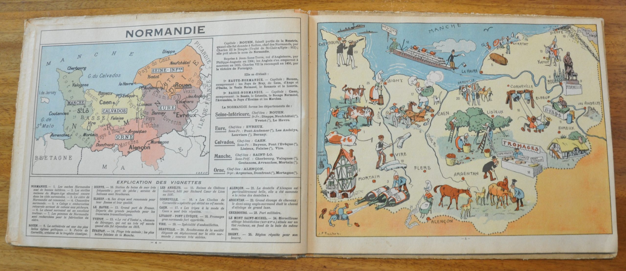
Description
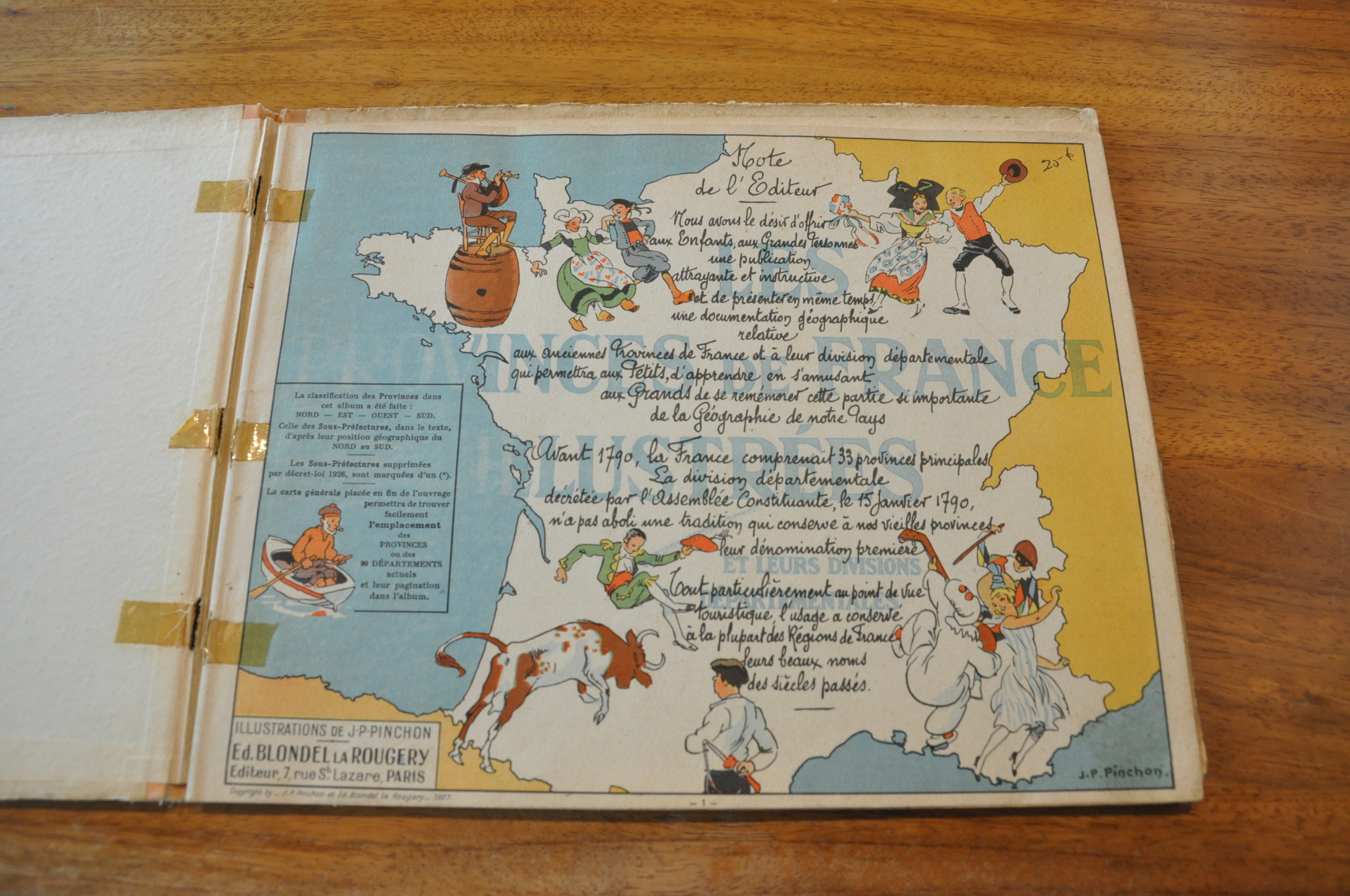
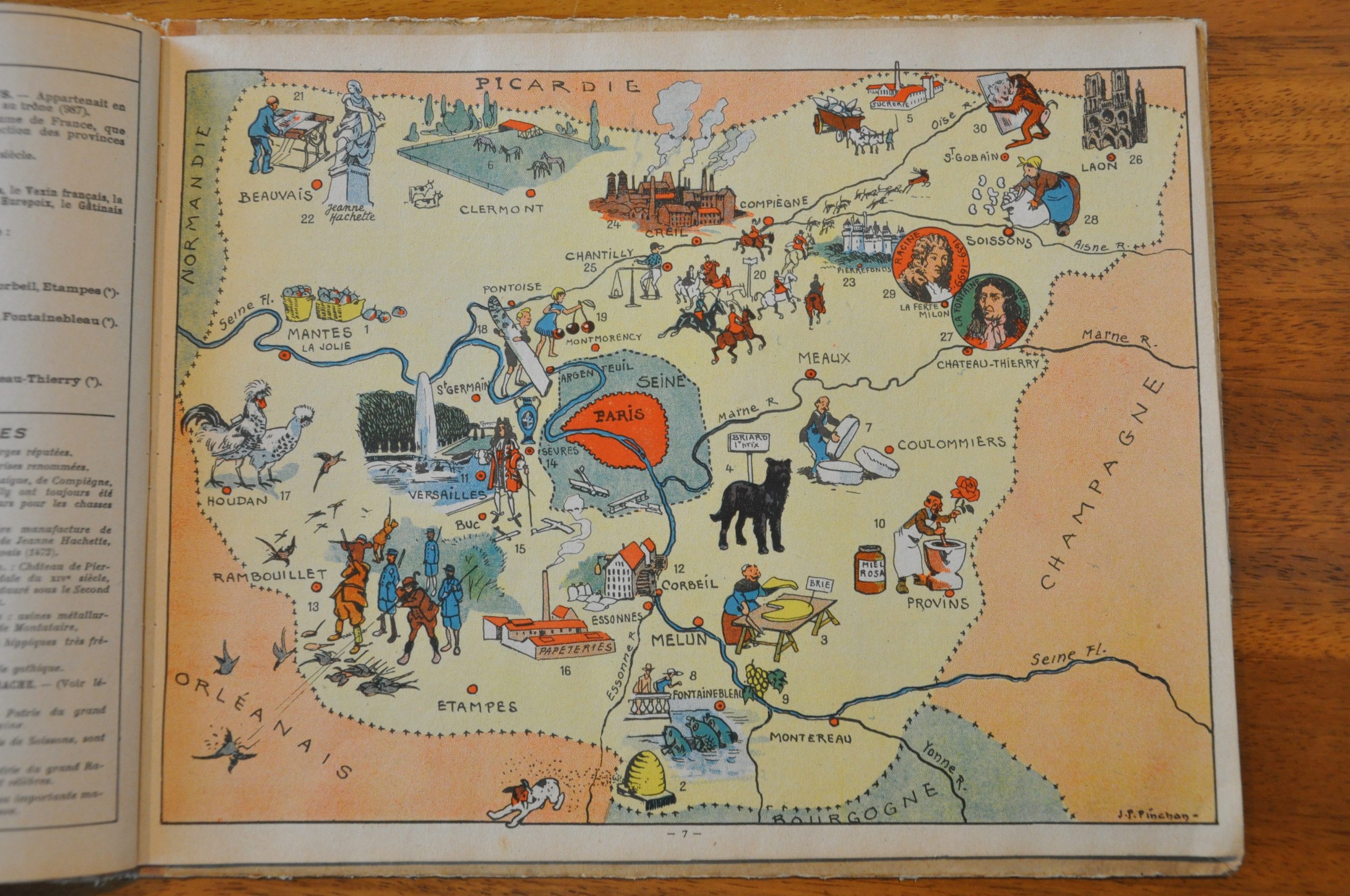
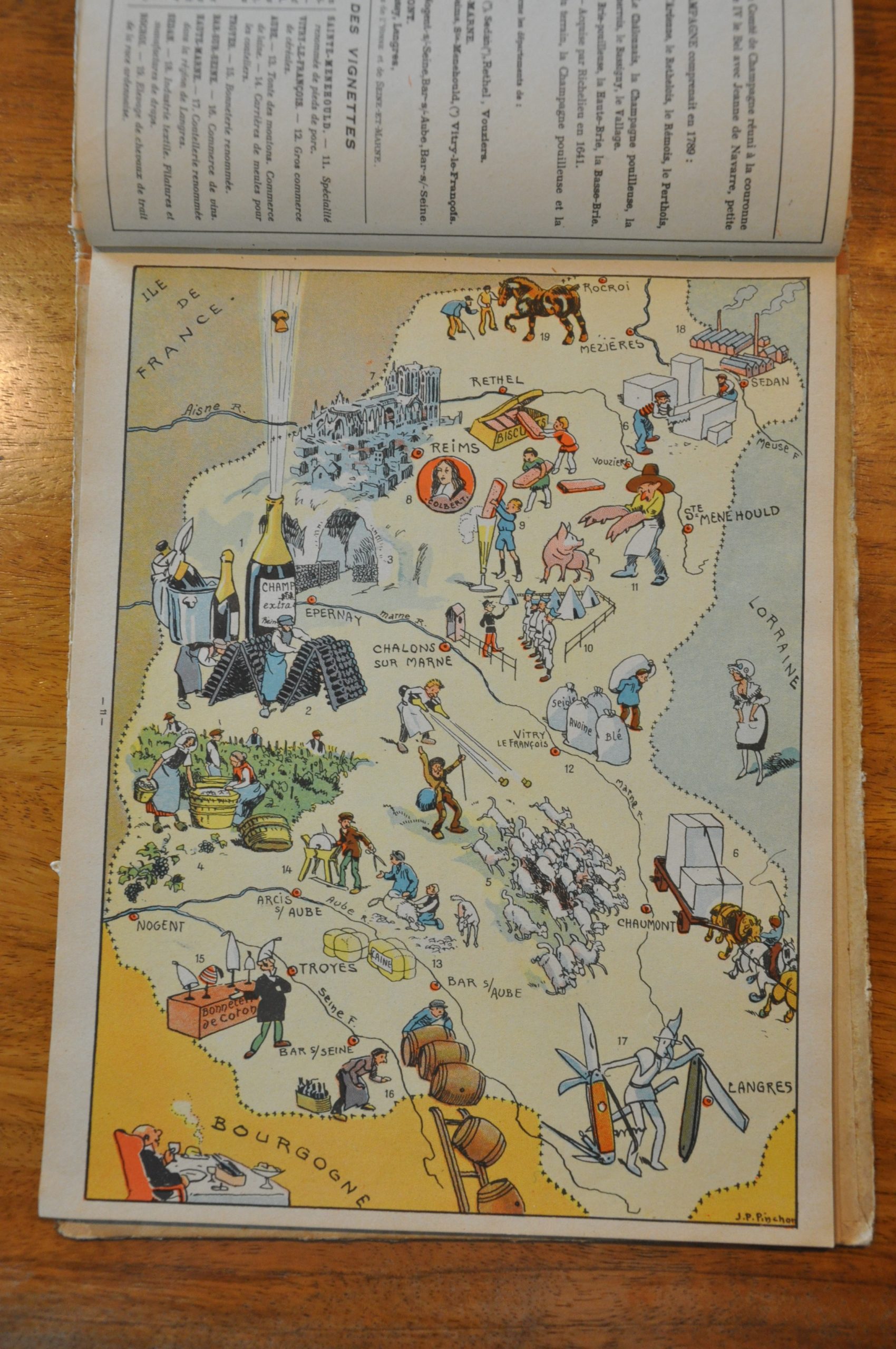
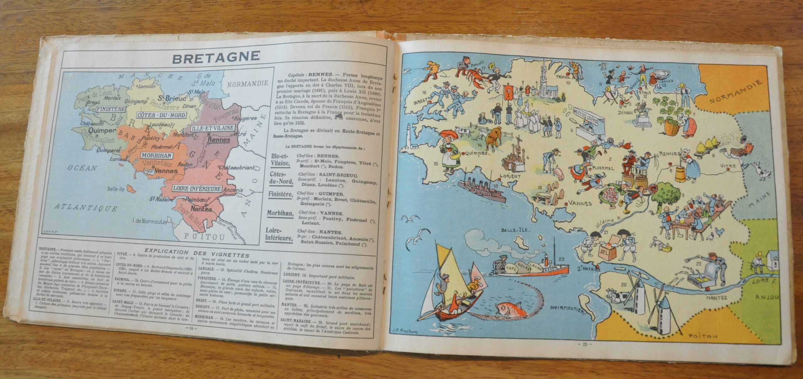
This book was published in Paris in 1927 and contains 23 pictorial maps drawn by the talented French artist, Joseph Porphyre Pinchon (1871- 1953). Each map reflects the unique history, culture and personality of the province it shows; often in an exaggerated or humorous style. For example, a goat herder in Champagne uses the region’s famous sparkling wine to direct his flock.
Opposite each pictorial is a small scale political map showing transportation routes, towns, and departments within the province. An explanation of each numbered vignette within is also provided. An extensive note from the editor can be found on the title page, and on the last sheet there is a map of the entire country, with a corresponding index.
Map Details
Publication Date: 1927
Author: J.P Pinchon
Sheet Width (in): 12.00
Sheet Height (in): 9.50
Condition: B
Condition Description: The book is complete and in good condition. The binding is loose and the title page has old cellophane tape repairs. Moderate wear and fraying on front and back covers, but the individual pages are in excellent shape. Each pictorial/political map is clean with full margins
$125.00