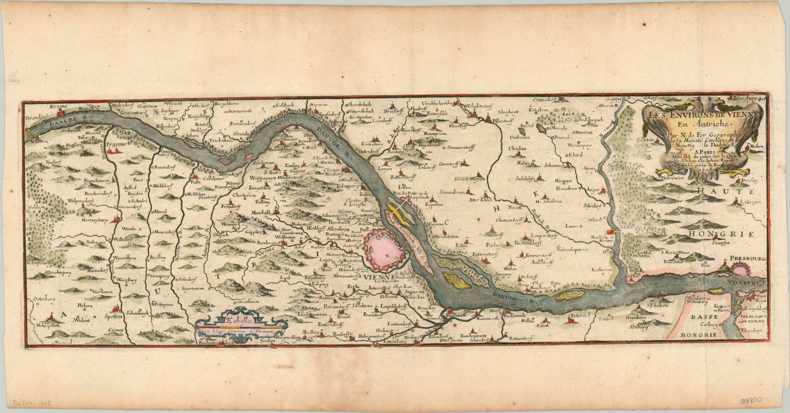
Les Environs de Vienne en Autriche
$200.00
Copperplate engraved map of Vienna and the surrounding area.
1 in stock
Description
This hand colored map of Vienna and its suburbs was published in Paris by Nicholas de Fer in 1705. It shows the capital of the Holy Roman Empire situated on the banks of the Danube River, adjacent to the Hungarian capital of Pressbourg, (far right).
Vienna’s extensive fortifications are clearly emphasized, having undergone extensive upgrades after enduring long sieges by the Turks in 1529 and 1683. An even greater earthen rampart, the Linienwall, had been completed the year prior to publication, surrounding the suburbs from St. Marx to Waring.
Also of note is the Jewish Quarter (“Ville de Iuifs”) on Leopoldstadt and the imperial double headed eagle surrounding the title cartouche.
Map Details
Publication Date: 1705
Author: Nicholas de Fer
Sheet Width (in): 20.40
Sheet Height (in): 10.60
Condition: A-
Condition Description: Minor soiling and a few small spots of foxing are visible in the margins, well away from the image. Faint creasing along fold lines. Modern hand color. In very good condition overall.
$200.00
1 in stock

